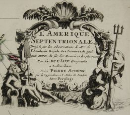
1710 – J. Wolff – America Septentrionalis
Title: “America Septentrionalis Concinnata juxta Observationes. . .
Description:
Rare issue by German publisher Jeremia Wolff of de l’Isle’s map of North America which served as the model for European mapmakers and was frequently copied throughout the eighteenth century. The map covering Central America, showing east coast, California, Canada, Caribbean and northern part of South America. Shows routes of Cortez, Gaetan, Drake, Medana and Olivier in the Pacific.
Publisher: Jeremias Wolff (1663 – 1724)
Sheet size: 50,5 x 60,5 cm
Plate size: 47,0 x 60,5 cm
Year: 1710
Technique: copper engraving
Condition:
Good condition! Slight marginal staining and small marginal closed tears. Centrefold reinforced. Watermarked paper.
This is an original antique map published in 1710 and NOT a modern copy or reprint.
On your request I will provide a Certificate of Authenticity