1715 – J.B. Homann – Regni Mexicani Nova Hispania Floridae
1,500 €
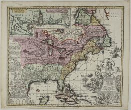
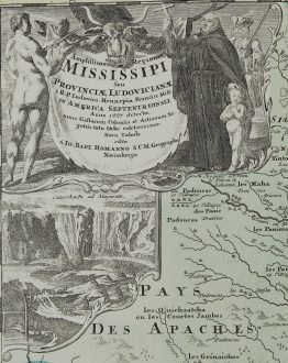
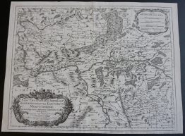
Title: “Regni Mexicani seu Novae Hispaniae, Floridae, Novae Angliae, Carolinae, Virginiae et Pensylvaniae necnon insularum archipelagi Mexicani in America Septentrionali / accurata tabula exhibita â Ioh. Baptista Homanno.”
Description:
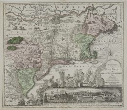
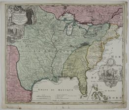
Homann’s, First State, of decorative map of colonial America in the era of the War of the Spanish Succession, based on Delisle’s map of 1703. The map introduces the information from La Salle, Bienville, d’Iberville and other French explorers in America. It was the first map to accurately portray the mouth of the Mississippi and the Great Lakes region. Also accurately shown for the first time are the English settlements on the east coast. Sea routes of treasure fleets from Vera Cruz and Cartagena to Havana and Spain are outlined. Title cartouche depicts two native figures with items to trade, such as hides and blankets. In the Atlantic, there is a large scene of extensive gold mining operations, with Indians bringing their treasures to fill the Europeans’ chest. Off the Pacific coast of Mexico is yet another opulent engraving of a raging sea battle, reminiscent of the battles fought in Queen Anne’s War. This is the first state, without privilege in the imprint and with Floridae in the title instead of Ludovicianae.
Comes from Johann Baptist Homann atlas “Atlas Geographicus Major…” published in Nürnberg, 1715.
Cartographer: Johann Baptist Homann (1664-1724)
Leaf size: 62,0 x 53,4 cm
Year: 1715
Technique: copper engraving
Condition:
Good condition. Contemporary hand coloring.
This is an original antique map published in 1715 and NOT a modern copy or reprint.
On your request I will provide a Certificate of Authenticity
In stock