1757 – T. C. Lotter – Novi Belgii in America Septentrionali
2,000 €
Title: “Recens edita totius Novi Belgii, in America Septentrionali siti, delineatio cura et sumtibus Tob. Conr. Lotteri, Sac. Caes. Maj. Geographi, August. Vind.”
(A newly published map of all New Netherland in North America, made at the care and expense of Tobias Conrad Lotter, Geographer to His Imperial Majesty, Augsburg)
Description:
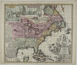
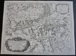
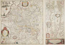
A highly decorative map of New Netherland and New England, with one of the best-known early views of New York, “Neu Jorck sive Neu Amsterdam”. It is the last descendant of the influential Jansson-Visscher series of maps, which shaped the mapping of the north-east coast of America for almost a century. Matthäus Seutter of Augsburg engraved it around 1730, copying it from Carel Allard’s Dutch version. After Seutter’s death in 1757, his son-in-law Tobias Conrad Lotter reissued it under his own name.
The view of New York copies the famous Restitutio view, first published by Allard to celebrate the Dutch recapture of New York in 1673. The town is seen from the East River.
The key: a Latin key of 19 letters, from A to T, names the town’s landmarks: Fort Amsterdam, “called Fort James by the English”, and the flagpole that signalled arriving ships. The Reformed and Lutheran churches, the governor’s house and the city hall. The public weigh-house, the canal, the windmill and Stuyvesant’s house. The town wall with its land gate, where Wall Street runs today.
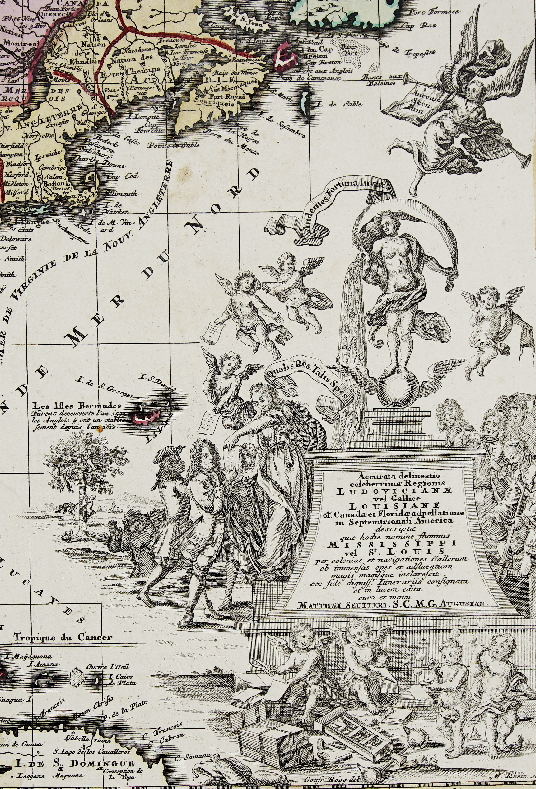
The cartouche, above the view, bearers carry baskets and bundles of colonial goods to a seated ruler. He is attended by Mercury, Minerva and Juno, who stands over a chest of coins.
The map covers the coast from the Chesapeake to Maine, and inland to the St Lawrence, Quebec and Montreal. Dutch, English and Native names appear side by side. Manhattan’s outlying Dutch settlements are keyed separately, among them Utrecht, Vlackebosch (Flatbush), Haerlem, Bloemendael and Stuyvesant’s Bouwerie (the Bowery). Unlike the earlier maps in the series, it marks the borders of Massachusetts, New England, New York, New Jersey and Pennsylvania. Lake Champlain (“Lacus Irocoisiensis”) is still placed wrongly east of the Connecticut River. Two inset pictures show how the Mahicans and the Minisinks fortified their villages. The interior is filled with bears, beavers, moose, foxes, turkeys and cranes.
Matthäus Seutter (1678–1757) trained under Johann Baptist Homann and became Geographer to the Emperor. Tobias Conrad Lotter (1717–1777) engraved many of Seutter’s maps, married his daughter and took over the business.
Cartographer: Tobias Conrad Lotter ( 1717 – 1777 )
Sheet size: 52,5 x 61,2 cm
Year: c. 1757
Technique: copper engraving
References: Campbell, “The Jansson-Visscher Maps of New England”, no. 27; McCorkle 730.5
Condition:
Very good condition. Contemporary coloring. Watermarked paper.
This is an original antique map published circa 1757 and NOT a modern copy or reprint
On your request I will provide a Certificate of Authenticity
In stock