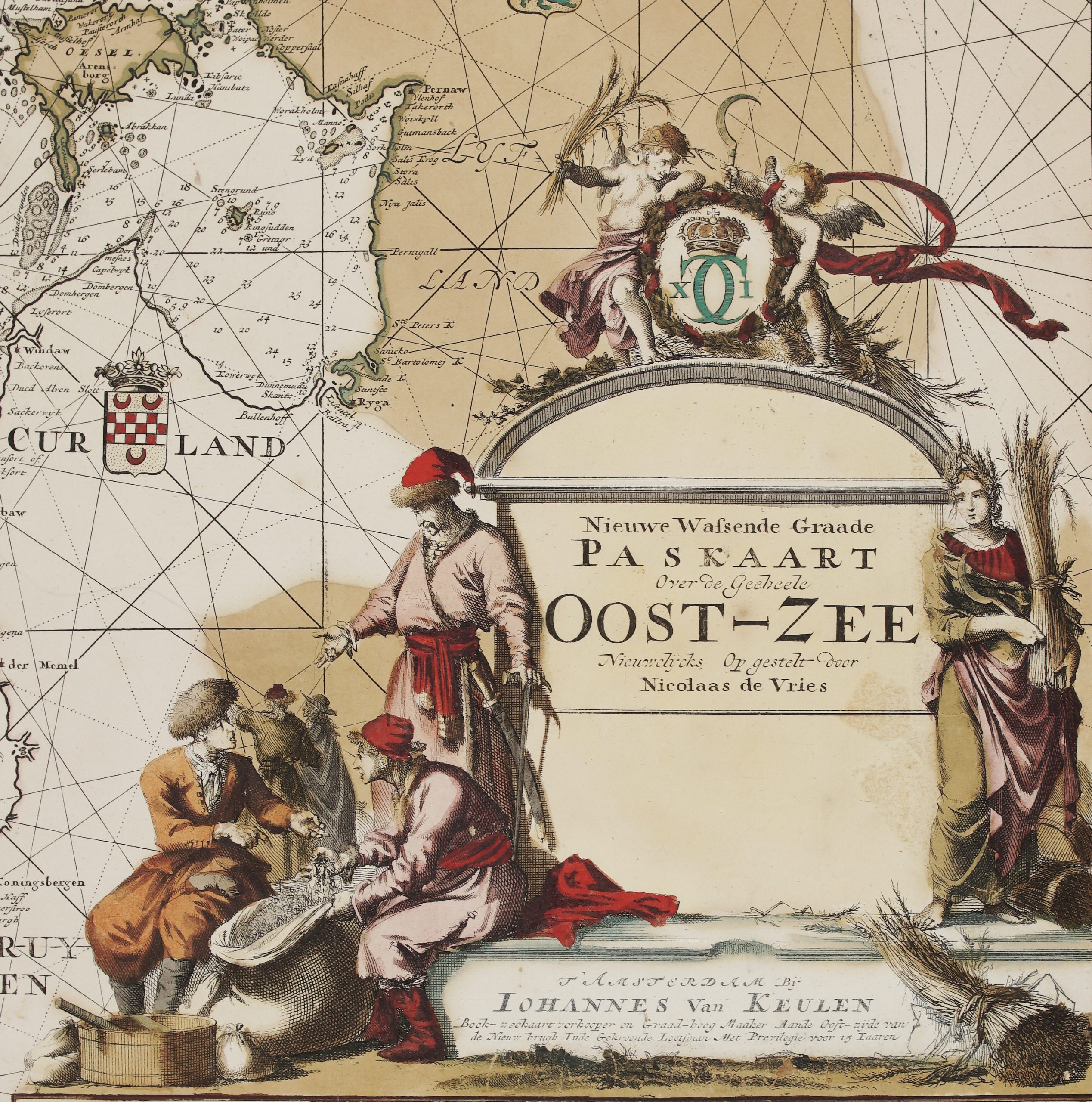
1745 – R. & J. Ottens – Mare Balticum
Title: ” MARE BALTICUM Amstelodami Apud R.& I. Ottens. Nieuwe Pascaert van de OOST ZEE t Amsterdam Gedruckt by R. en I. Ottens.”
Description:
Very rare copper engraved see chart after Frederick de Wit and later also by L. Renard map. It shows the Baltic sea region, extending from Kaliningrad into the Gulf of Finland. The islands of Gotland, Bornholm, Rugen, Oland and Oesel are delineated.
The map comes from R. & J. Ottens’ sea atlas “Atlas van Zeevaert en Koophandel door de Geheele Weereldt…” published in Amsterdam, 1745.
Cartographer: Renier Ottens (1698–1750) & Joshua Ottens (1704–1765)
Sheet size: 66,5 x 56,7 cm
Year: 1745
Technique: copper engraving
Condition:
Good condition. Lightly brownish in margins.
This is a genuine antique map published in 1745 and not a modern copy or reprint
On your request I will provide a Certificate of Authenticity