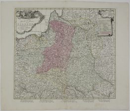
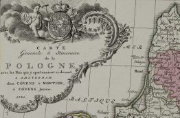
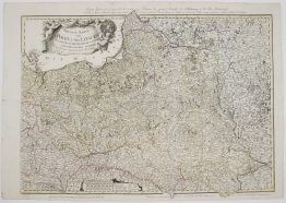
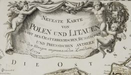
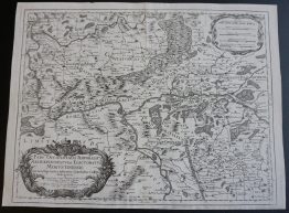
1772 – G. A. R. Zannoni – Palatinats de Plock
500 €
Title: “Woiewodztwa Płockie, Brzeskie – Kujawskie, Inowrocławskie, Chełmińskie, Poźnańskie y nowe Woiewodztwo Gnieźnieńskie złożone z Części Połnocney Woiewodztwa Kaliśkiego” & “Les Palatinats de Plock, de Brzesc, d’Inowroclaw, de Culm, de Posnanie et le Nouveau Palatinat de Gniezno formé de la partie septentrionale de celui de Kalisz.”
Description:
This is extremely rare and most detailed XVIII century map of the Palatinates of Plock, Brzesc, Inowroclaw, Culm, Posen and Gniezno, present-day territories of Poland.
The map comes from the atlas of the 24th sheet map set of the Republic of Poland which was prepared by Rizzi- Zannoni and created by the prince Józef Jozymowski. This work lasted nearly 20 years with the participation of many cartographers. It is the first and most detailed, large-scale map of Poland before the partitions of 1772, 1793, and 1795 and shows the territories of present-day Poland, Lithuania, Belarus and western parts of Russia.
Cartographer: Giovanni Antonio Rizzi Zannoni (1736 – 1814)
Publisher: Józef Aleksander Jabłonowski (1711-1777)
Engravers: J. Perrier (1760-1824)
Gaspard André (175.-18..)
J. Arrivet (1764-1786)
Nicolas Chalmandrier (1756-1789)
Pierre Bourgoin
Atlas size: 68,0 x 49,3 cm
Year: 1772
Technique: copper engraving
Condition:
Very good condition. Contemporary hand coloring. Watermarked paper.
This is an original antique map published in 1772 and NOT a modern copy or reprint
On your request we will provide a Certificate of Authenticity.
In stock