1818 – P. G. Chanlaire – Bas Rhin & Haut Rhin
250 €
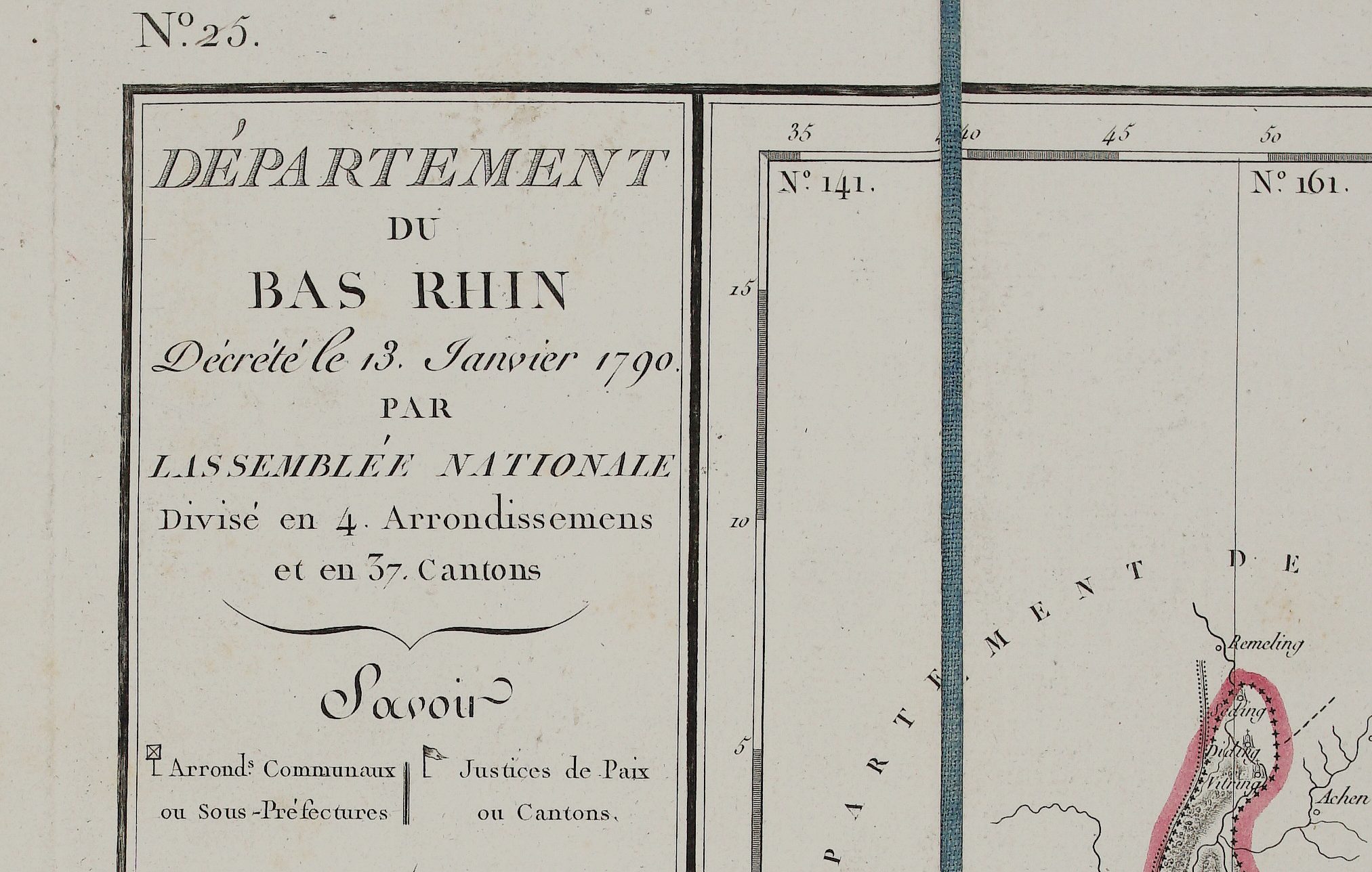
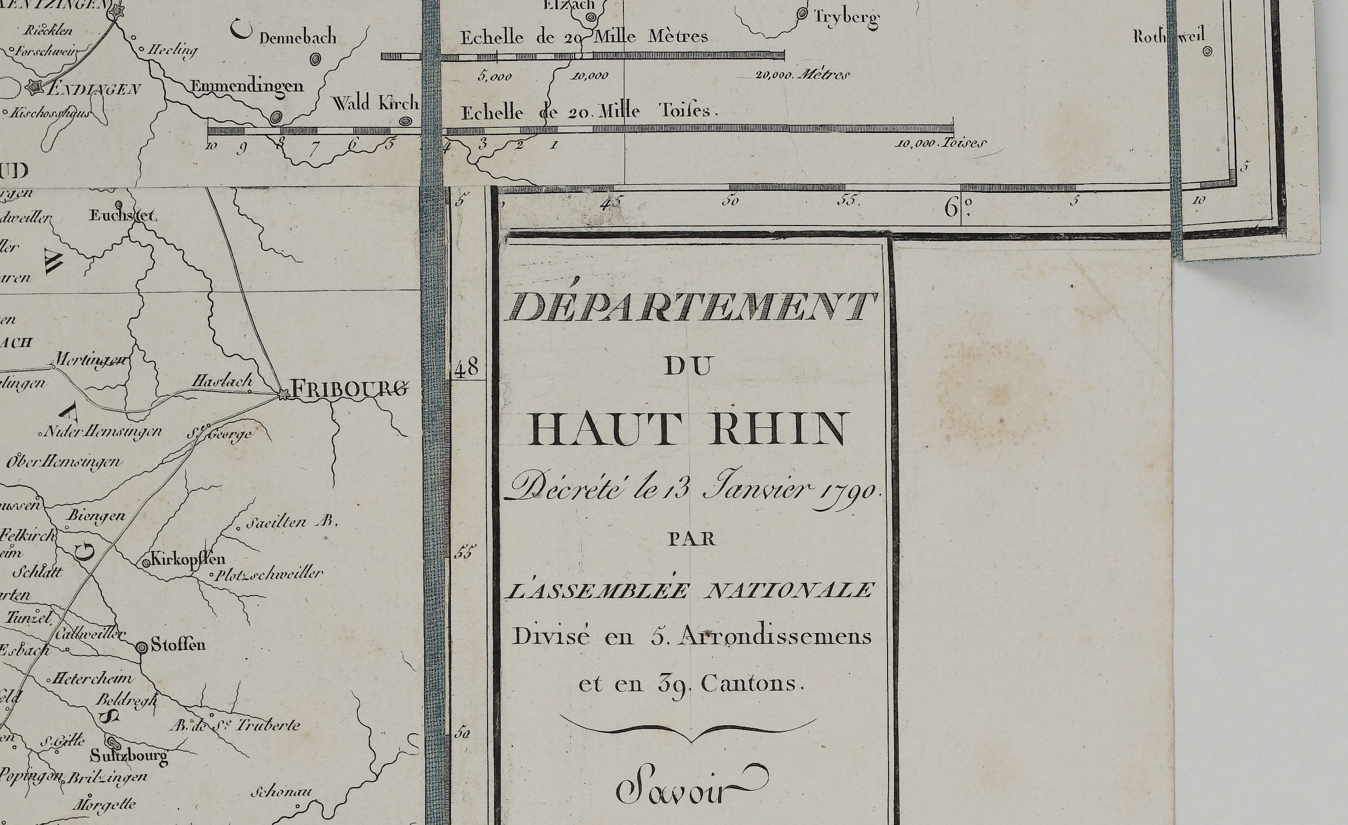
Title: “Departement du Bas Rhin…” & “Departement du Haut Rhin…”
Description:
Very detailed copper engraved antique map of Germany represents the department of Bas Rhin and Haut Rhin under the First French Empire. The map reflects the administrative restructuring of the region following its incorporation into the Napoleonic Empire.
The map comes from Pierre-Gilles Chanlaire atlas “Atlas National de France…” engraved by François d’ Houdan, published in Paris, 1818.
Cartographer: Pierre-Gilles Chanlaire (1728-1803)
Size: 62,7 x 106,8 cm
Year: 1818
Technique: copper engraving
Condition:
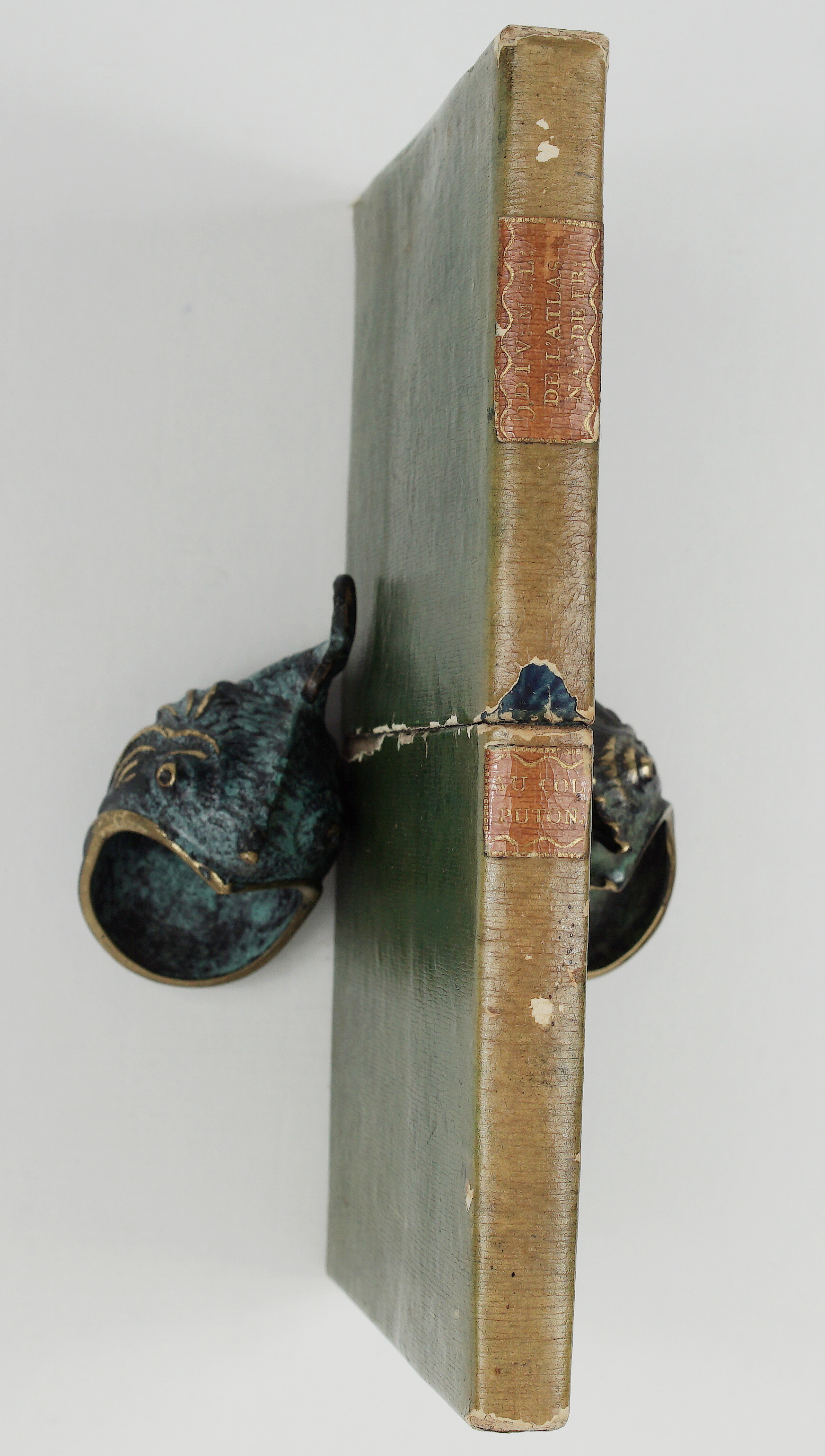
Good condition. Map mounted on linen and folded. Placed in card board box.
This are an original antique maps published in 1818 and not a modern copy or reprint.
On your request I will provide a Certificate of Authenticity
In stock