1852 – V. Levasseur – Europe
70 €
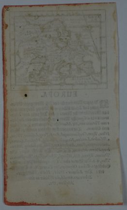
Title: “Europe”
Description:
Very decorative map of Europe. It shows the entire continent according to political situation of the time surrounded with crests of France, England, Spain, Italy, Switzerland, Russia, Prussia, Germany, Sweden, and Turkey. At left and right of the map an explanation of Europe and countries population values. A large group of adorable cherubs engaged in academic pursuits fills the foreground.
Comes from Victor Levasseur’s atlas “Atlas National de la France Illustrée” engraved by Laguillermie, the outer decorations are the work of Raimond Bonheur, published by A. Combette in Paris.
Cartographer: Victor Levasseur (1795–1862)
Sheet size: 52,2 x 35,7 cm
Year: 1852
Technique: steel engraving
Condition:
Very good condition!
This is an original antique map published in 1852 and NOT a modern copy or reprint
On your request I will provide a Certificate of Authenticity
In stock