- You cannot add another "1674 - N. Sanson - Le Duché de Berg" to your cart. View cart
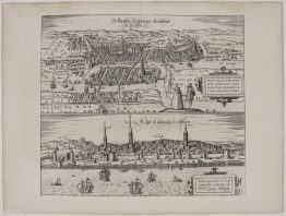
c. 1625 – G. Braun & F. Hogenberg – Riga Konigssbergk
1,000 €
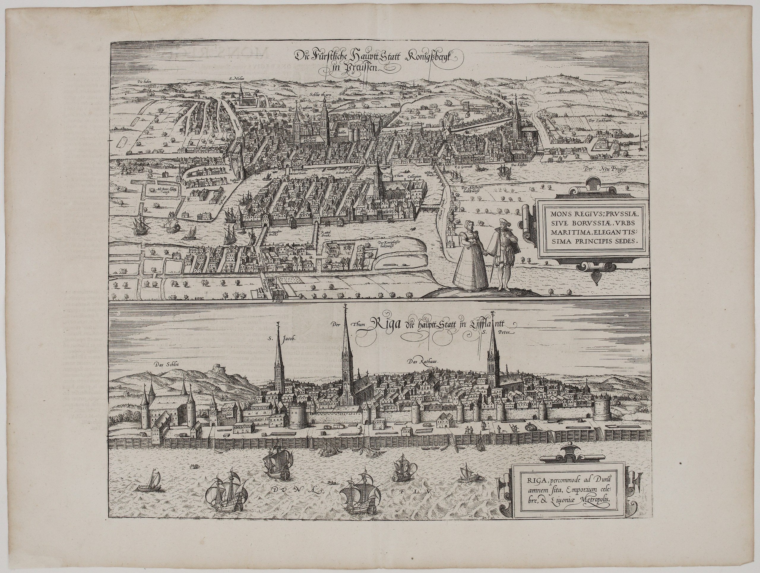
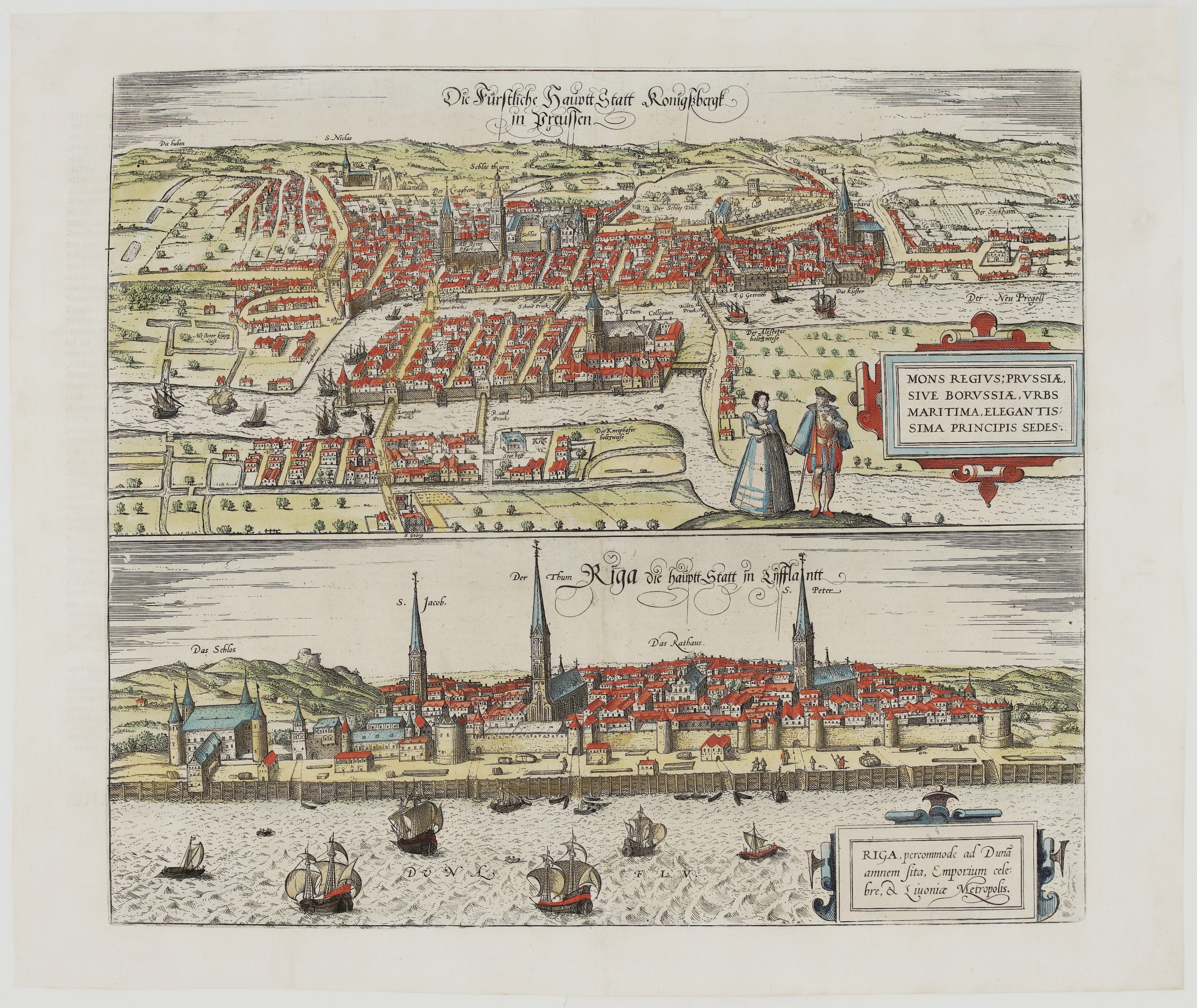
Title: Die Fürstliche Hauptt Statt Konigssbergk in Preussen / Riga die hauptt Statt in Lifflantt
(The Princely Capital Königsberg in Prussia / Riga, the Capital of Livonia)
Description:
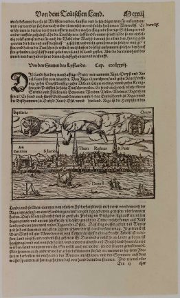
This sheet has two of the most important Baltic city views of the Renaissance, from Georg Braun and Frans Hogenberg’s great city atlas Civitates Orbis Terrarum.
The upper view is a bird’s-eye view of Königsberg, today’s Kaliningrad, the capital of Ducal Prussia. It shows the three towns of the Altstadt, Kneiphof and Löbenicht along the Pregel river. Labels include:
- the castle (“Schlos”), the castle tower (“Schlos thurn”) and St Nicholas;
- the cathedral (“Der Thum”) and university (“Collegium”) on the Kneiphof island;
- the Sackheim suburb, the “Neu Pregell” and the bridges.
Ships lie on the river, and a fashionably dressed Prussian couple stands in the foreground. The cartouche praises Königsberg as “Prussiae, sive Borussiae, urbs maritima, elegantissima principis sedes” (the maritime city of Prussia, the most elegant seat of the prince).
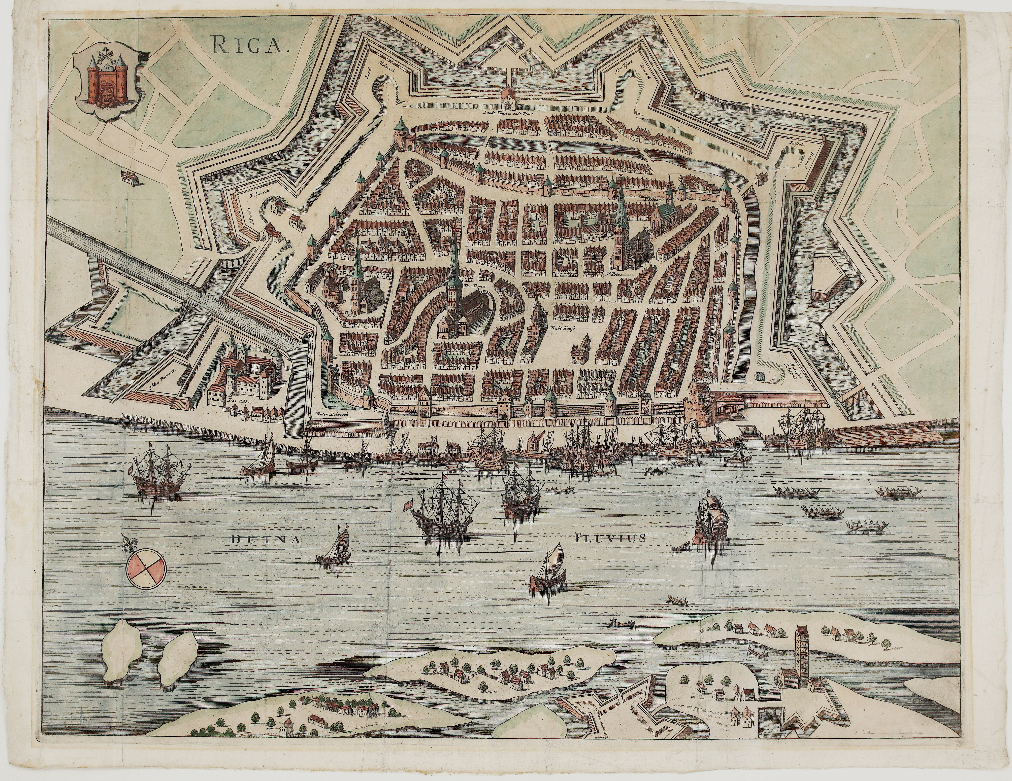
The lower view is a panorama of Riga seen from the Daugava (“Duna Flu.”), with merchant ships before the city walls. Labels name the Castle (“Das Schlos”), St James, the Cathedral (“Der Thum”), the Town Hall (“Das Rathaus”) and St Peter. The cartouche calls Riga “Emporium celebre, & Livoniae Metropolis” (a famous market town and the metropolis of Livonia).
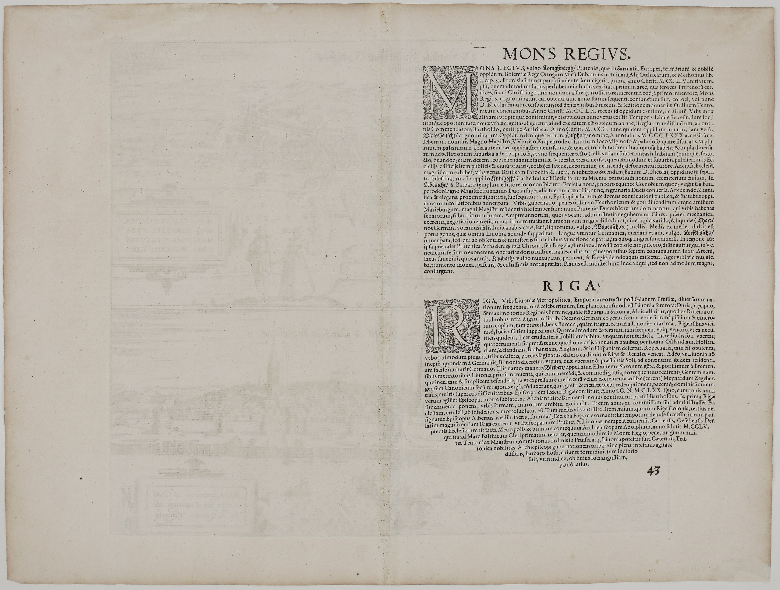
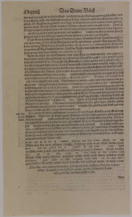
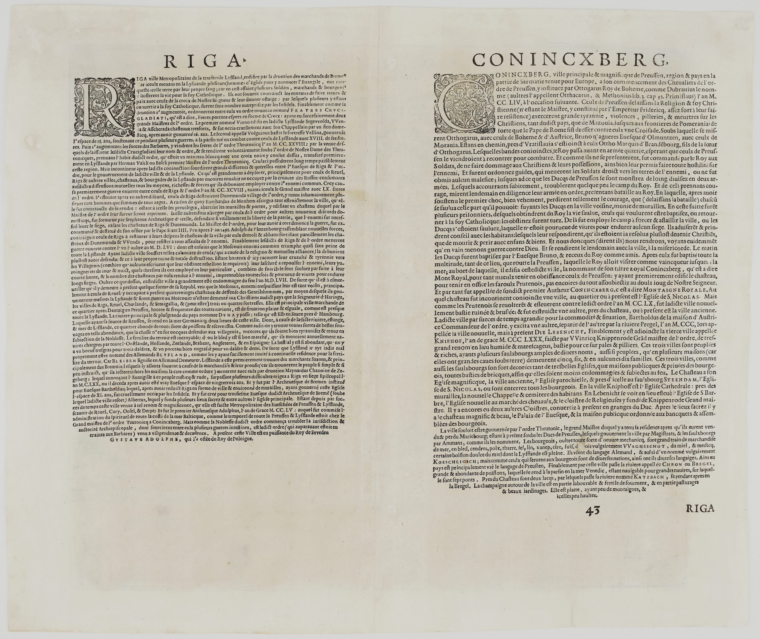
The French text on the back covers both cities:
- Riga: founded through the devotion of Bremen merchants, then ruled by the Sword Brothers and the Teutonic Order, besieged in the Muscovite wars, and finally captured by King Gustavus Adolphus of Sweden from the King of Poland.
- Königsberg (“Coninxberg”): described as a city “in the part of Sarmatia held to be in Europe”. The text tells of its founding in 1254 during King Ottokar of Bohemia’s crusade against the pagan Prussians, its three towns, and its trade in grain, ash, pitch, tar, salt, flax, wax and honey. It also mentions the seven bridges over the Pregel, the famous Seven Bridges of Königsberg.
Cartographer: Georg Braun (1541 – 1622) & Franz Hogenberg (1535 – 1590)
Publisher: Cologne, successors of Braun & Hogenberg
Leaf size: 49,5 x 41,6 cm
Year: c. 1625
Technique: copper engraving
Reference: Van der Krogt 4, 41:3.3; Fauser 6726 & 11781; Taschen (Braun & Hogenberg) p. 249
Condition:
Good condition. Watermarked paper. Attractive hand coloring. Few marginal tears professionally restored.
This is an original antique map published circa 1625 and NOT a modern copy or reprint
On your request I will provide a Certificate of Authenticity
In stock