1578-1588 – S. Munster – Gottland oder Gothen
300 €
Title: Gottland, oder Gothen
(Gothland, or the Goths)
Description:
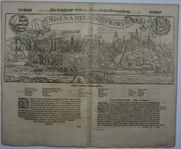
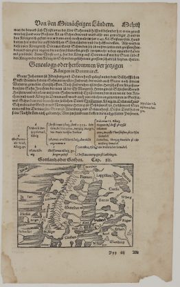
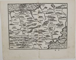
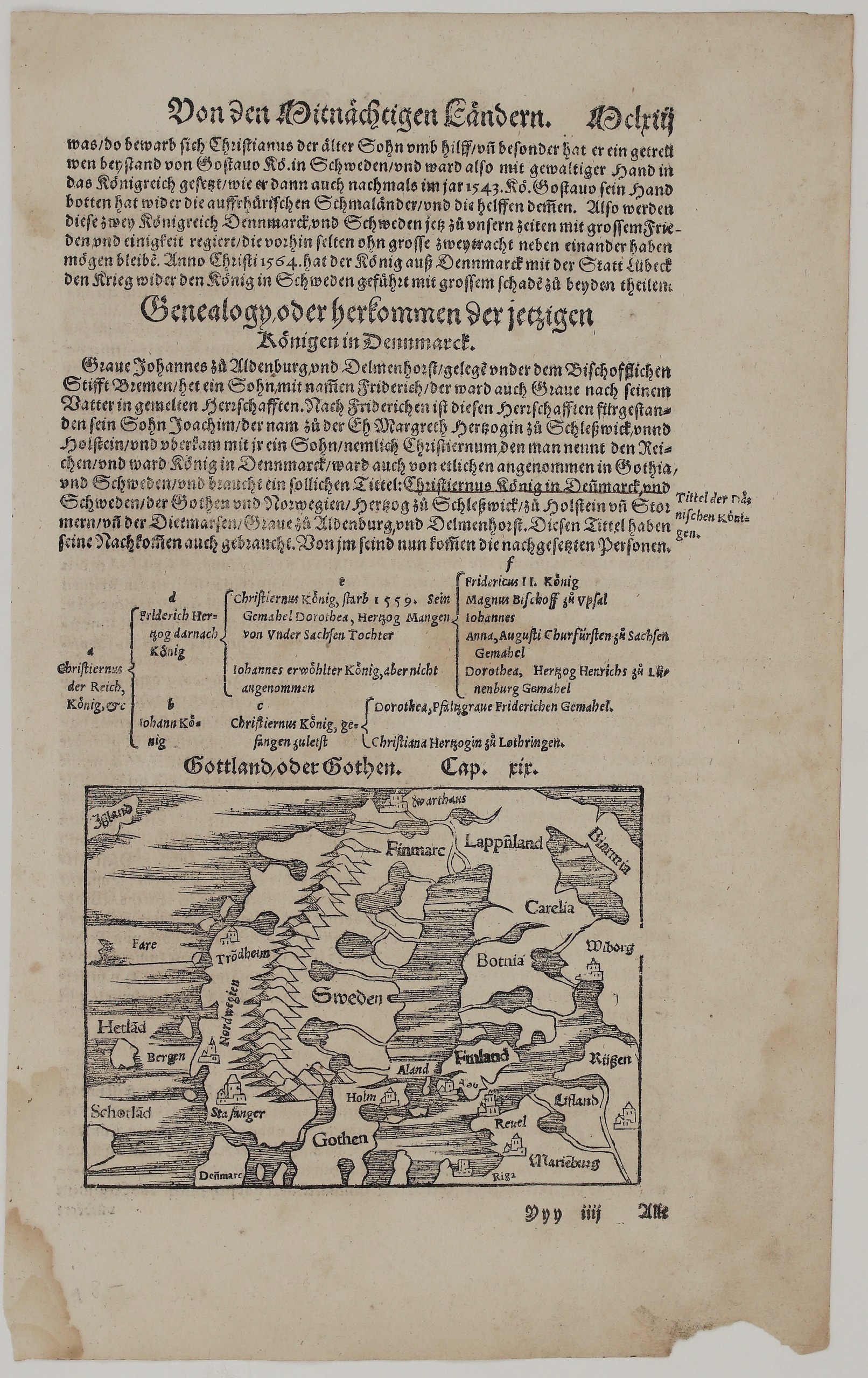
This is an original woodcut map of Scandinavia and the eastern Baltic from Sebastian Münster’s Cosmographey, published in Basel by the Henricpetri press. It opens chapter 19 of the fourth book, on Gothia. Unknown issue of Sebastian Münster’s Cosmographey.
The map shows northern Europe as it was understood in the mid-16th century, after Olaus Magnus:
- The west: Norway (Nordwegen) with Bergen, Trondheim and Stavanger, and Iceland, the Faroes, Shetland and Scotland at the edge.
- The centre: Sweden with Stockholm (Holm), Gothia, and Denmark at the bottom.
- The far north: Finnmark, Lapland, Biarmia and the fortress of Vardøhus.
- The east: Karelia, Bothnia, Finland with Åland, Turku (Abo) and Vyborg, and Russia (Rüßen).
- The Baltic lands: Livonia (Lifland) with Reval (Tallinn), Riga and Marienburg (Alūksne).
Above the map, the text ends the history of Denmark and Sweden: Gustav Vasa’s help to Christian III in 1543, and the war of 1564 between Denmark, Lübeck and Sweden. Then comes a Genealogy of the Danish royal house, from Christian I to Frederick II, set out as a family tree.
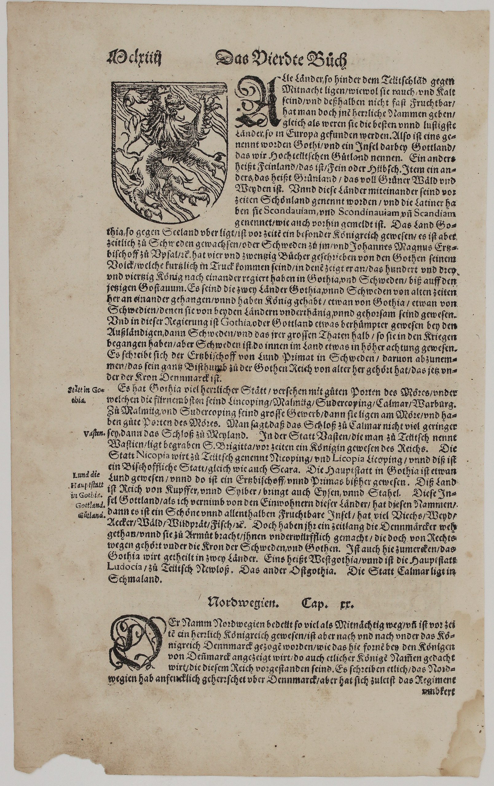
On verso, the text describes Gothia: its old names, Scondia and Scandinavia, and Johannes Magnus’s history of the 143 kings of the Goths and Swedes. It lists the towns: Linköping, Söderköping, Kalmar and Vadstena, where St Birgitta is buried, Nyköping and Lund. It also mentions the copper and silver mines and the island of Gotland. A woodcut shield with the lion of Gothia accompanies the text, and chapter 20, on Norway, begins.
Cartographer: Sebastian Munster (1488 – 1552)
Publisher: Henricpetri press, Basel
Leaf size: 33,3 x 20,3 cm
Year: 1578 – 1588
Technique: Woodcut, with letterpress text
Condition:
Good. The woodcut is dark and strongly printed. There is light even toning and a few small spots. There is a small loss at the lower right corner and a small chip at the lower left edge, both well away from the map. Watermarked paper.
This is an original antique map published between 1578 – 1588 and not a modern copy or reprint
On your request I will provide a Certificate of Authenticity
In stock