1598 – S. Munster – Königreich Polandt
120 €
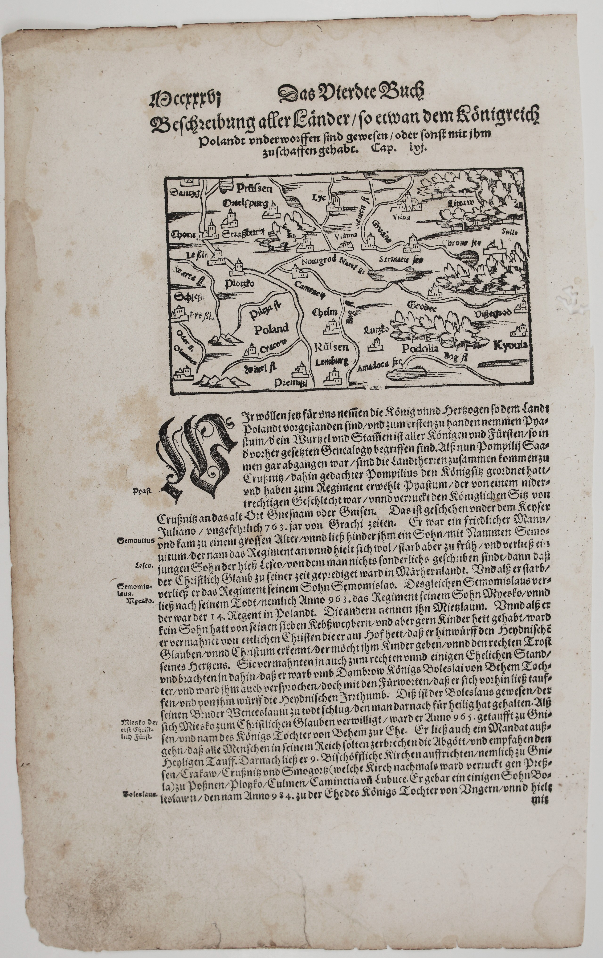
Title: “Beschreibung aller Länder / so etwan dem Königreich Polandt vnderworffen sind gewesen / oder sonst mit jhm zuschaffen gehabt. Cap. lvj.“
Description:
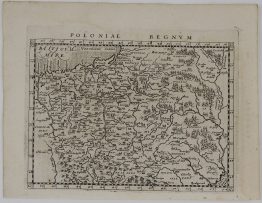
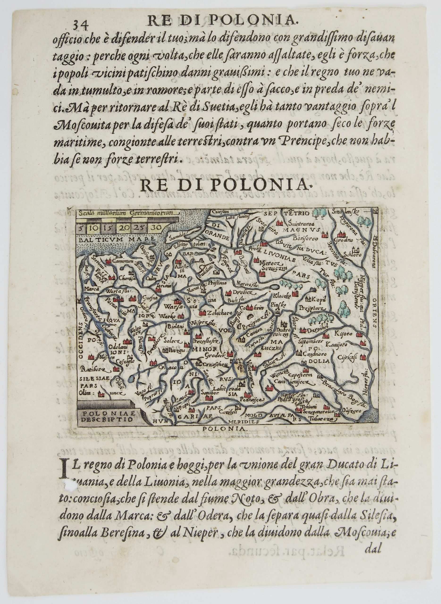
Early woodcut map of Poland and Lithuania from the German edition of Sebastian Münster’s Cosmographia, published in Basel in 1598 by Sebastian Henricpetri. The map is printed on page 1236 (“Mccxxxvj”) of the Fourth Book, at the head of chapter 56. The chapter title translates as “Description of all the lands that were once subject to the Kingdom of Poland, or otherwise had dealings with it.”
The map covers the lands of the Polish–Lithuanian state, with north at the top. It runs from Danzig (“Dantzg”), Prussia (“Prüssen”), Thorn (“Thora”) and Silesia (“Schlesi”) in the west to Lithuania (“Litaw”), Vilnius (“Vilna”) and Kyiv (“Kyouia”) in the east, and south to Ruthenia (“Rüssen”) and Podolia. Other names include Kraków (“Cracow”), Lviv (“Lemburg”), Przemyśl (“Premisl”), Chełm, Płock (“Plotzko”), Grodno and Lutsk (“Lutzko”). The Vistula (“Wixel fl.”), Warta, Oder, Pilica, Narew, Neman and Bug rivers are marked. Forests are drawn as clusters of trees, mountains as small peaks and towns as little castle vignettes. The map also shows a “Sarmatie see” and the legendary “Amadoca see”, a lake taken from Ptolemy’s Geography.
Below the map, Münster begins his history of Poland’s rulers. He tells of Piast, a man of humble birth chosen as ruler at Kruszwica (“Crußnitz”), who moved the royal seat to Gniezno (“Gnesnam oder Gnisen”). He continues with Piast’s successors and with Mieszko I, the first Christian prince, baptized in 965 after marrying a daughter of Boleslaus of Bohemia. The text lists the nine bishoprics Mieszko founded, among them Gniezno, Kraków, Poznań and Płock, and ends with the marriage of his son Bolesław to a daughter of the King of Hungary in 984.
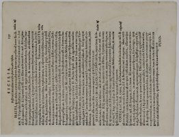
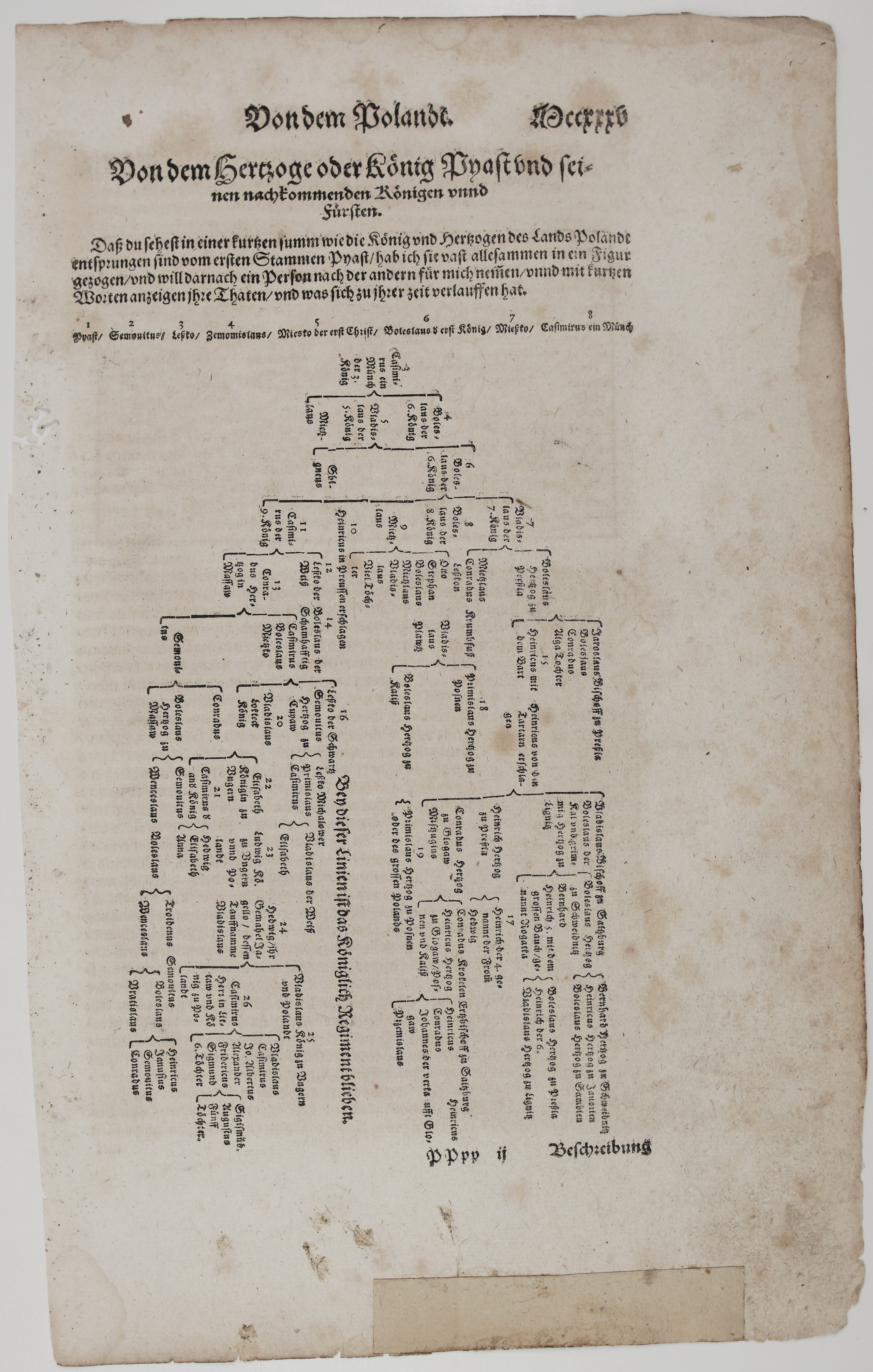
On the reverse (page 1235, “Mccxxxv”) is a typeset family tree of Poland’s rulers, titled “Von dem Hertzoge oder König Pyast vnd seinen nachkommenden Königen vnnd Fürsten” (Of Duke or King Piast and the kings and princes descended from him). Münster introduces it:
“So that you may see in brief how the kings and dukes of the land of Poland sprang from the first stem, Piast, I have drawn almost all of them into one figure. I will then take them one after another and tell briefly of their deeds and what happened in their time.”
Twenty-six numbered rulers run from Piast through the Piast dukes and kings. A line across the tree reads “Bey dieser Linien ist das Königlich Regiment blieben” (The royal rule remained with this line). The tree ends with the rulers connected to Lithuania: Queen Jadwiga (“Hedwig”) and her husband Jogaila (“Jagello, dessen Tauffnamme Vladislaus”, whose baptismal name was Władysław), then Władysław, King of Hungary and Poland, and Casimir, “Herr in Littaw vnd König zu Polandt” (Lord of Lithuania and King of Poland). Casimir’s sons follow: Władysław, Casimir (St. Casimir, patron saint of Lithuania), John Albert, Alexander, Frederick and Sigismund. The last name in the tree is Sigismund Augustus, the last Jagiellonian king of Poland and Grand Duke of Lithuania.
Map comes from the rare German edition of Sebastian Münster’s Cosmography, titled “Cosmographey, das ist Beschreibung aller Länder, herzschaften und für nemesten Stetten des gantzen Erdbodens sampt ihren Gelegenheiten, Eygenschaften, Religion, Gebräuchen, Geschichten und Handtierungen… / durch hern Sebastianum Munster…”, published in 1598 by Sebastianum Henricpetri in Basel. It was one of the most influential geographical works of the 16th Century.
Cartographer: Sebastian Munster (1488 – 1552)
Publisher: Sebastian Henricpetri
Sheet size: 34,4 x 21,7 cm
Year: 1598
Technique: woodcut
Condition:
Good condition.
This is an original antique map published in 1598 and NOT a modern copy or reprint
On your request I will provide a Certificate of Authenticity
In stock