1676 – J. Speed – France
700 €
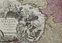
Title: “France Revised and Augmented, the Attires of the French and Situations of Their Cheifest Cityes Observed…”
Description:
One of the most decorative maps of France from John Speed’s atlas, the first World Atlas published by an Englishman. Ten figures flank the left and right side of the map showing the King, Queen, a merchant, a lawyer, and a farmer, to name a few. Above the map are eight town plans including Paris, Orleans, and Bordeaux. Imprint of Bassett and Chiswell in the title cartouche. English text on verso.
The map comes from John Speed atlas “Prospect of The Most Famous Parts of the World. . .” , engraved by Dirck Gryp, published by Thomas Bassett & Richard Chiswell in London, 1676.
Cartographer: John Speed (1551 – 1629)
Sheet size: 57,6 x 44,9 cm
Year: 1676
Technique: copper engraving
Condition:
Reasonable condition, paper with watermark, attractive hand coloring. Moderate toning along the centerfold and a pair of small worm holes adjacent to the centerfold at the bottom.
This is an original antique map published in 1676 and NOT a modern copy or reprint
On your request I will provide a Certificate of Authenticity
In stock