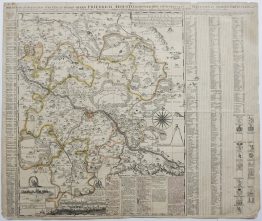
1693 – N. de Fer – Huningue
50 €
Title: “HUNINGUE, est une Fortbesse acing Bastions depuis peu bastre par le Roy, elle est fituée fur le Rhein, avec un Pont de Bois unpeu au dessous de Basle et dans le Suntgorv.”
Description:
Very decorative plan of the fortified city of Huningue located in the Haut-Rhin department of France near the border with Basel, Switzerland. It depicts a primary five-bastioned fortress on the west bank, connected by a wooden bridge across the river to hornworks and other defensive structures on the east bank and nearby islands. The star-shaped (bastioned) fortification was designed by the renowned French military engineer Sébastien Le Prestre de Vauban in 1679 for King Louis XIV.
The engraving comes from the Nicolas de Fer atlas “Les Forces de l’Europe, ou Description des principales villes, avec leurs fortifications.” engraved by Herman van Loon, published in Paris, 1693.
Cartographer: Nicolas de Fer (1646 – 1720)
Sheet size: 34,0 x 29,7 cm
Year: 1693
Technique: copper engraving
Condition:
Good, original condition.
This is an original antique map published in 1693 and NOT a modern copy or reprint
On your request I will provide a Certificate of Authenticity
In stock