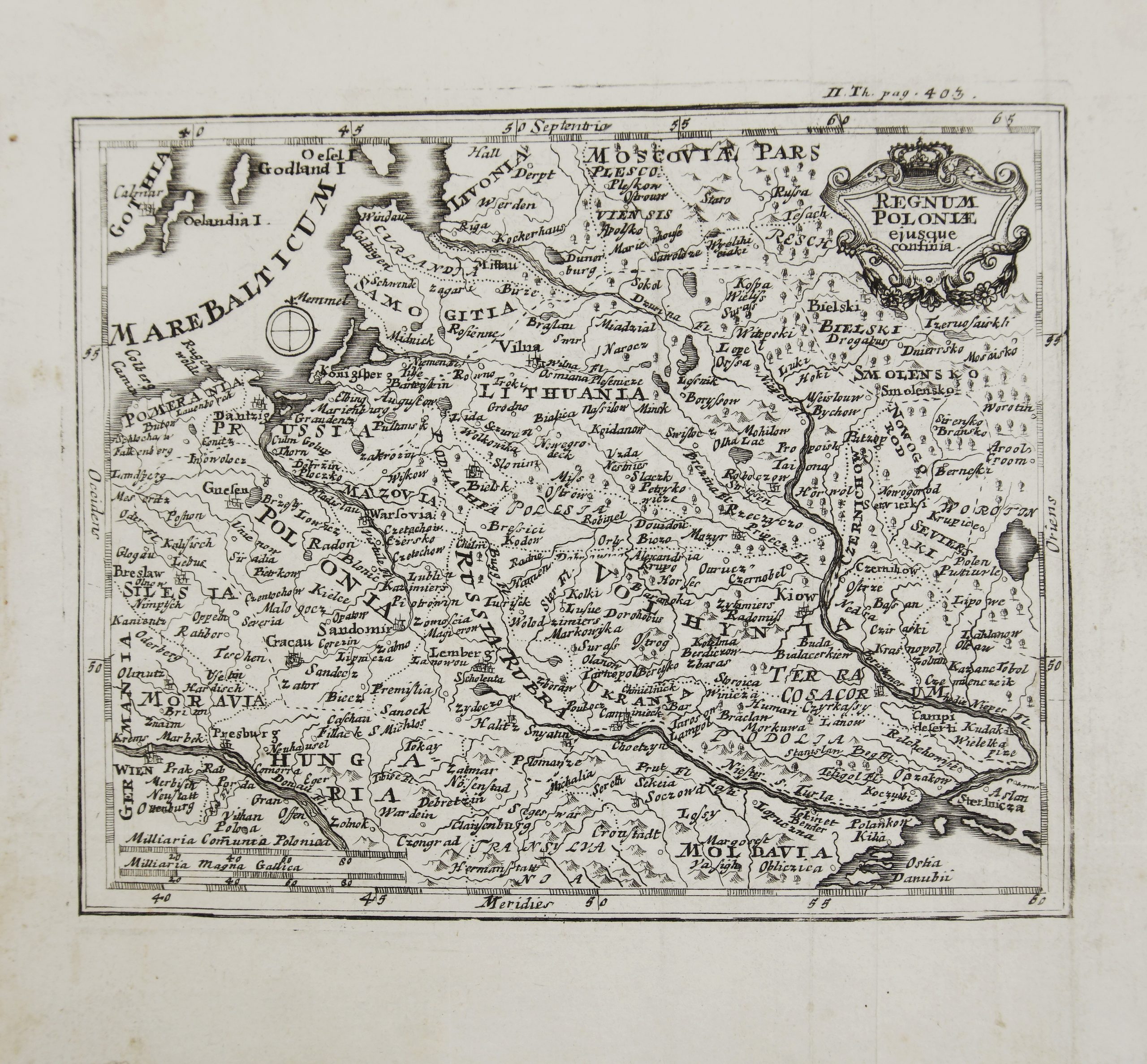
1717 – J. C. Weigel – Regnum Poloniae
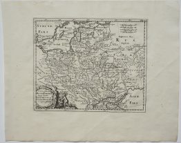
Title: “Regnum Poloniae ejusque confinia”
Description:
Decorative and rare map of Poland and Lithuania by Johann Christoph Weigel, first state.
The map comes from Johann Christoph Weigel’s atlas “Atlas Portatilis, oder Compendieuse Vorstellung der Gantzen Welt/ in Einer Kleinen Cosmographie, Norimberga 1717”, published by Adam Friedrich Zurner in Nuremberg, 1717.
Map Maker: Johann Christoph Weigel (1661 – 1726)
Sheet size: 20,8 x 19,0 cm
Technique: copper engraving
Year: 1717
Condition:
Good condition. Folds as published.
This is an original antique map published in 1717 and not a modern copy or reprint
On your request I will provide a Certificate of Authenticity