1747 – E. Bowen – Map of Poland Lithuania
320 €
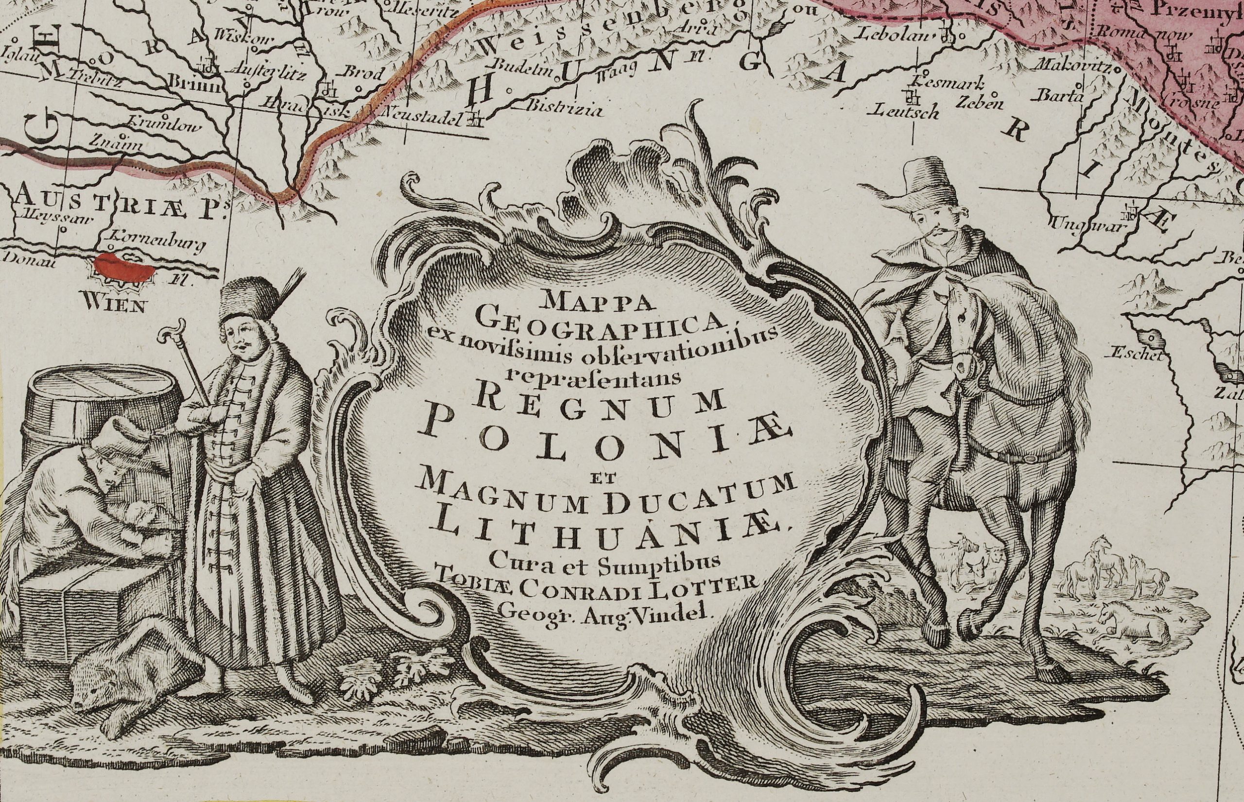
Title: “A new and accurate map of Poland, Lithuania &c. Divided into its Palatinats, drawn from the best authorities, assisted by the most approv’d modern maps. The whole being regulated by astronomical observations. By Emanl. Bowen.”
Description:
Attractive antique map of Poland and Lithuania, covering the region between the Dnieper and the Oder River, south to the Crapack Mountains.
Comes from Emanuel Bowen atlas “A complete system of geography. Being a description of all the countries, islands, cities, chief towns, harbours, lakes, and rivers, mountains, mines, &c. of the known world … ” published in London 1747.
Cartographer: Emanuel Bowen (1694?–1767)
Sheet size: 52,1 x 41,7 cm
Year: 1747
Technique: copper engraving
Condition:
Good condition. A few worm traces present.
This is a genuine antique map published in 1747 and not a modern copy or reprint
On your request I will provide a Certificate of Authenticity
In stock