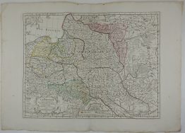
1760 – J.B.B. d’Anville – Carte d’Europe Pologne
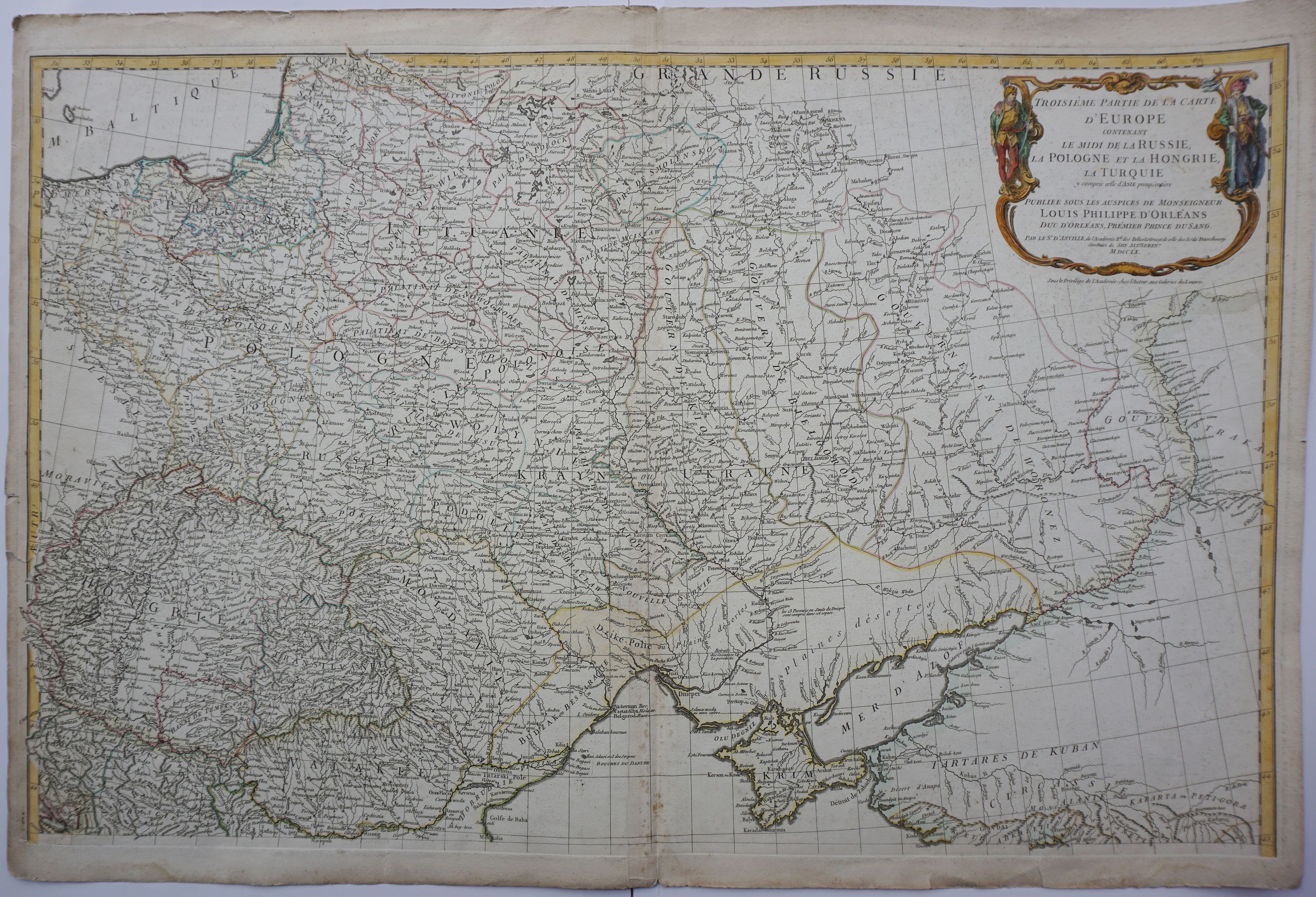
Title: “Troisieme partie de la Carte d’Europe conenant ..Russie, Pologne et la Hongrie, la Turquie. . .”
Description:
A large map, by French cartographer d’Anville, showing most of Eastern Europe, parts western Russia and parts of the Middle East and the eastern Mediterranean Sea.
Cartographer: Jean Baptiste Bourguignon d’Anville (1697 – 1782)
Sheet size: 84,0 x 56,5 cm
Year: 1760
Technique: copper engraving
Condition:
Good condition, original colors, very strong print and paper, center fold as published, wide margins. Few small cracks on margin. Map dated.
This is a genuine antique map published in 1760 and not a modern copy or reprint!