- View cart You cannot add another "1646 - H. Bunting - Europa Virginis" to your cart.

1772 – G. A. R. Zannoni – Wizerunek Powszechny Polski y Litwy
2,800 €
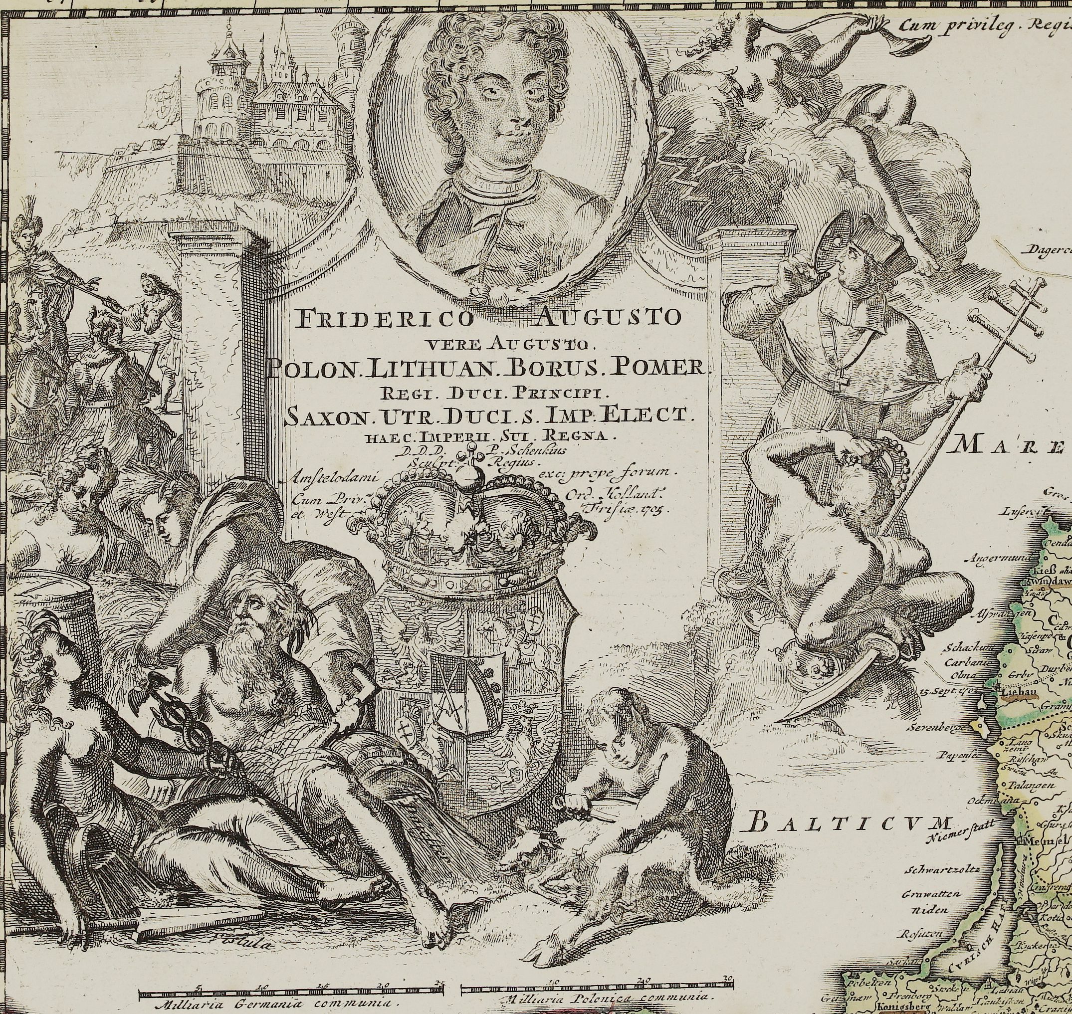
Title: “Wizerunek Powszechny Polski y Litwy Służący do zrozumienia zbioru XXIV. Karta Wystawionego przez Rizzi Zannoni Academiy król. Nauk Göttingent- skiey P. Inż. Hydr. w Zeglarstwie Króla Franc. M. DCCLXXII ”
Description:
This is very rare index map of the 24th sheet map set of the Republic of Poland which was prepared by Rizzi- Zannoni and created by the prince Józef Jozymowski . This work lasted nearly 20 years, with the participation of many cartographers. Description of the map is in Polish language and text containing the administrative division of the Republic of Poland placed on both sides of the map. Plan of Warsaw placed in the upper left corner.
The map comes from the atlas “Carte de la Pologne divisée par provinces et palatinats et subdivisée par districts : construite d’aprés quantité d’arpentages d’observations et de mesures prises sur les lieux : dediée à sont altesse le Prince Prusse-Vindes Joseph Alexandre Jablonowski palatin de Nowogrod, Chevalier des Ordres du St. Esprit, de L’Aigle blanc et de St. Hubert, associé á l’Academie R[oya]le des Sciences de Paris / par… J. A. B. Rizzi Zannoni de l’Academie R[oya] “, published in Paris, 1772.
Cartographer: Giovanni Antonio Rizzi Zannoni (1736 – 1814)
Józef Aleksander Jabłonowski (1711-1777)
Sheet size: 57,5 x 40,0 cm
Year: 1772
Technique: copper engraving
Condition:
Good condition. Attractive hand coloring. Watermarked paper.
This is an original antique map published in 1772 and NOT a modern copy or reprint
On your request we will provide a Certificate of Authenticity.
In stock


")


