1783 – L. Euler – Austriaci et Bavarici
100 €
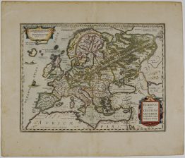
Title: “Tabula Geographica Circulorum Austriaci et Bavarici imperii Romano-Germanici : ad emendatiora exempla adhuc edita jussu Academiae Regiae Scientiarum et eleg. Litt. Borussicae descripta.”
Description:
Rare and decorative antique map covering the Bavarian and Austrian districts, including areas such as Tirol and Salzburg. It extends to show parts of modern-day Italy, Slovenia, Germany, and Czechia. This map was part of a tri-lingual school atlas published for the Royal Prussian Academy of Sciences. It is notable for its involvement by Euler, who is widely considered one of the most prolific mathematicians in history.
Comes from Leonhard Euler’s atlas, one of the first German atlases intended for use in schools “Geographischer Atlas bestehend in 44 Land-Charten worauf alle Theile des Erd-Creyses vorgestellet werden: Auf Befehl der Königl. Academie der Wissenschaften nach den bisher herausgekommenen besten Charten beschrieben und insbesondere zum Gebrauch der Jugend in den Schulen herausgegeben. Atlas Géographique représentant en XLIV Cartes toutes Les Régions De La Terre: gravé par ordre de l’Académie Royale des Sciences & belles lettres de Prusse d’aprés les meilleurs examplaires qui ayent paru jusqu’ici; destiné Principalement à l’usage des Ècoles”, engraved by Nikolaus Friedrich Sauerbrey, published by Johann Michael Kunst in Berlin, 1783.
Cartographer: Leonhard Euler (1707-1783)
Sheet size: 45,0 x 37,8 cm
Year: 1783
Technique: copper engraving
Condition:
Good, original condition. Contemporary hand coloring. Watermarked paper. Wrinkle in the middle fold.
This is an original antique map published in 1783 and NOT a modern copy or reprint
On your request I will provide a Certificate of Authenticity
In stock