1790 – J. M. Bruyset – Atlas des Enfans
450 €
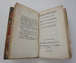
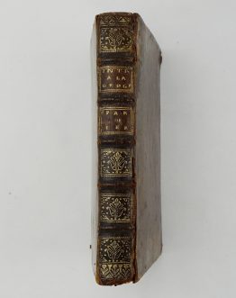
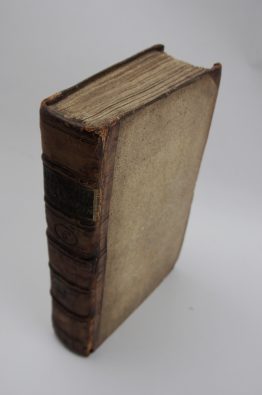
Title: “Nouvel Atlas des Enfans, ou Principes claires pour apprendre facilement et en fort peu de tems la Géographie: suivi d’un Traité méthodique de la Sphere.”
Description:
Children’s Atlas or a new method for learning geography with a new treatise on the sphere. It contains 24 folded maps, complete book. In the treaty of the sphere, there are two folding maps, one representing the sphere and another representing the systems. Published by Jean-Marie Bruyset in Lyon, 1790.
Cartographer: Jean-Marie Bruyset
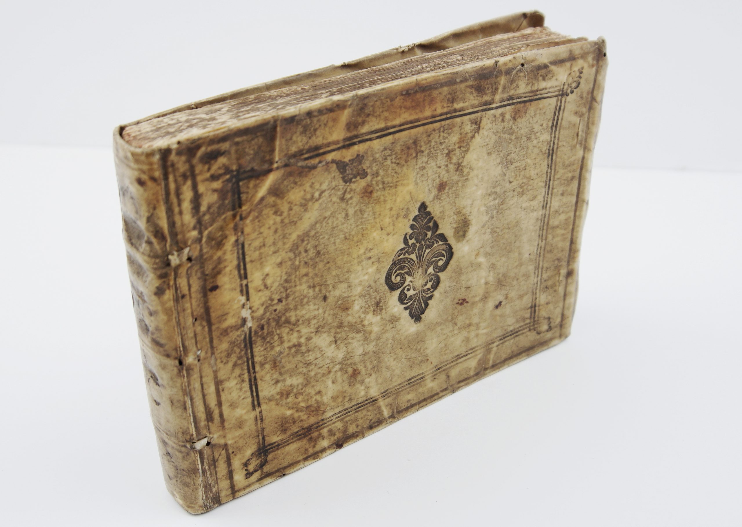
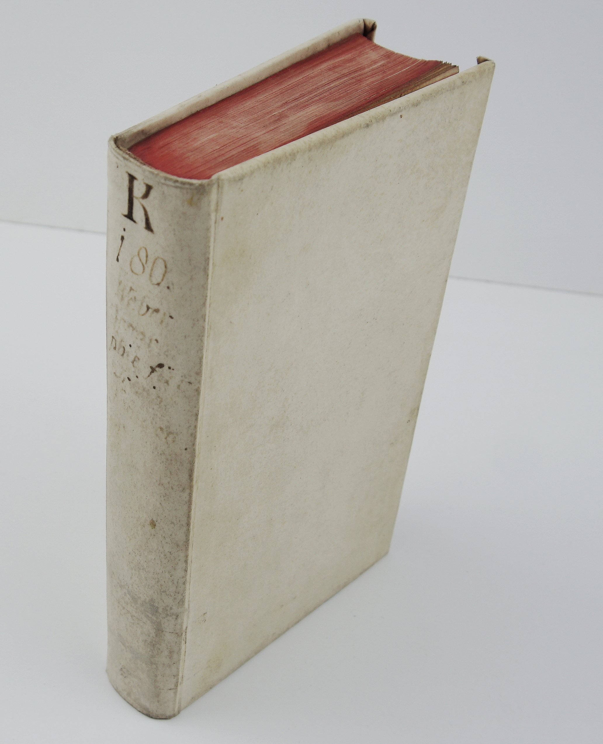
Atlas size: 10,0 cm x 17,0 cm x 2,5 cm
Year: 1790
Technique: copper engraving
Condition:
Good, original condition. Some soiling, toning, and occasional foxing, mostly to margins, bumped corners, back cover with scraped area. Leather cover gilded.
This is a ORIGINAL antique atlas published in 1790 and not a modern copy or reprint
On your request I will provide a Certificate of Authenticity
In stock