1802 – J. B. Poirson – Russie d’Europe
70 €
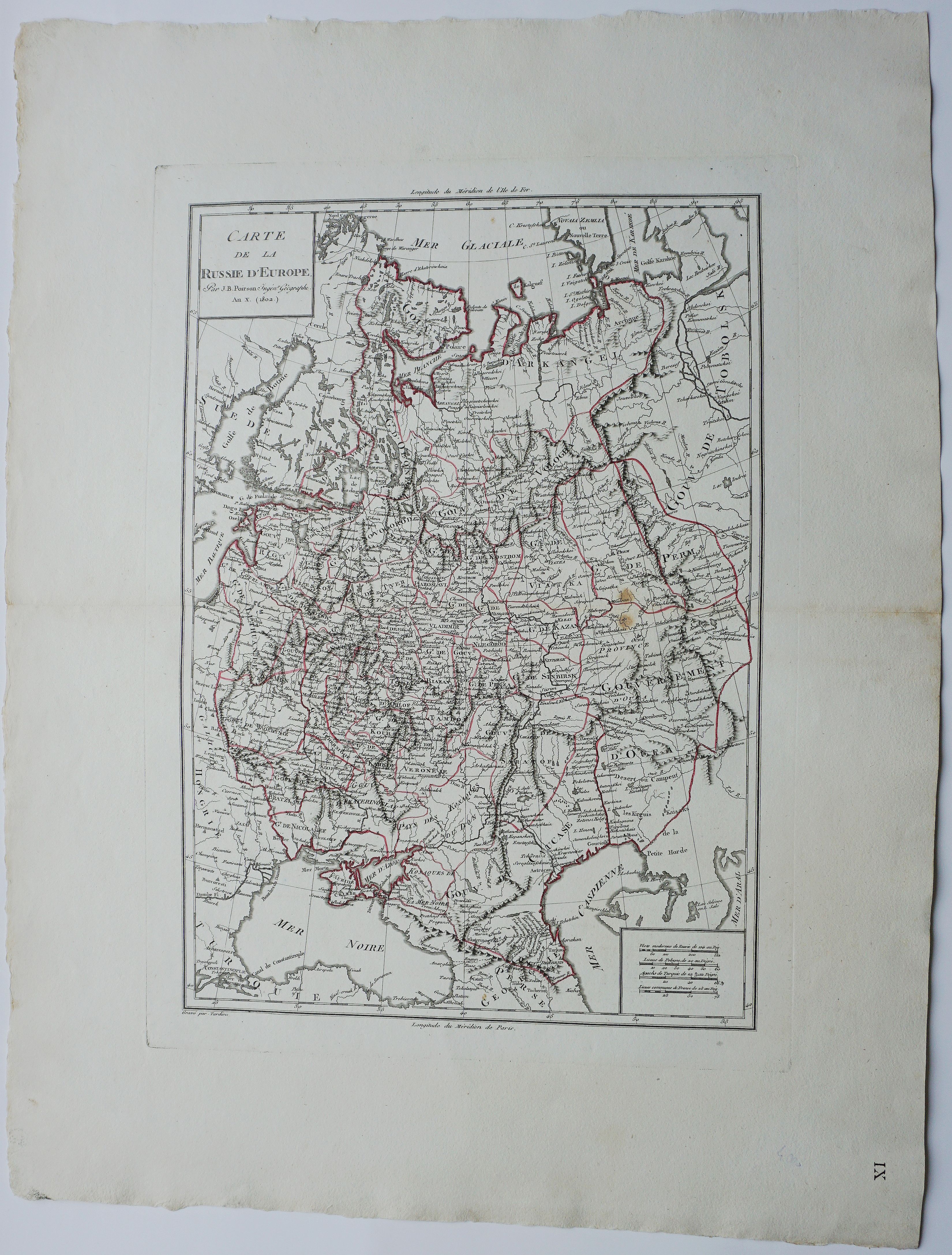
Title: “Carte de la Russie d’Europe…”
Description:
Large dated 1802 map of North West part of Russia, including the Gulf of Finland, Belarus, Ukraine, Poland and Baltic countries. From the atlas “Géographie Mathématique, Physique Et Politique De Toutes Les Parties Du Monde”.
Cartographer: Jean-Baptiste Poirson
Sheet size: 45,0 x 59,5 cm
Year: 1802
Technique: copper engraving
Condition:
Very good condition, strong paper, old coloring.
Due to the age of this map some imperfections to be expected!
This is a genuine antique map published in 1802 and not a modern copy or reprint!
In stock