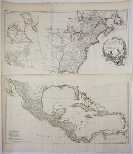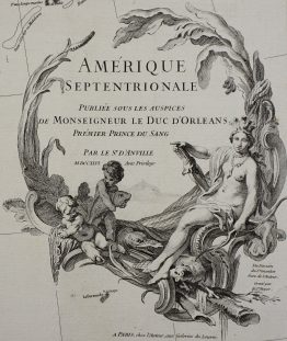
c. 1735 – M. Seutter – Septemtrionali America
1,700 €
Title: “Accurata delineatio celeberrimae Regionis Ludovicianae vel Gallice Louisiane ol. Canadae et Floridae adpellatione in Septemtrionali America descriptae, quae hodie nomine fluminis Mississippi vel St. Louis… Matthaei Seutteri, S.C.M.G. Augustan.”
(An accurate map of the famous region of Louisiana, formerly called Canada and Florida, in North America, which is now named after the river Mississippi or St Louis, and whose fame grows through the colonies and voyages of the French and its immense riches… by Matthäus Seutter, Geographer to His Imperial Majesty, Augsburg)
Description:
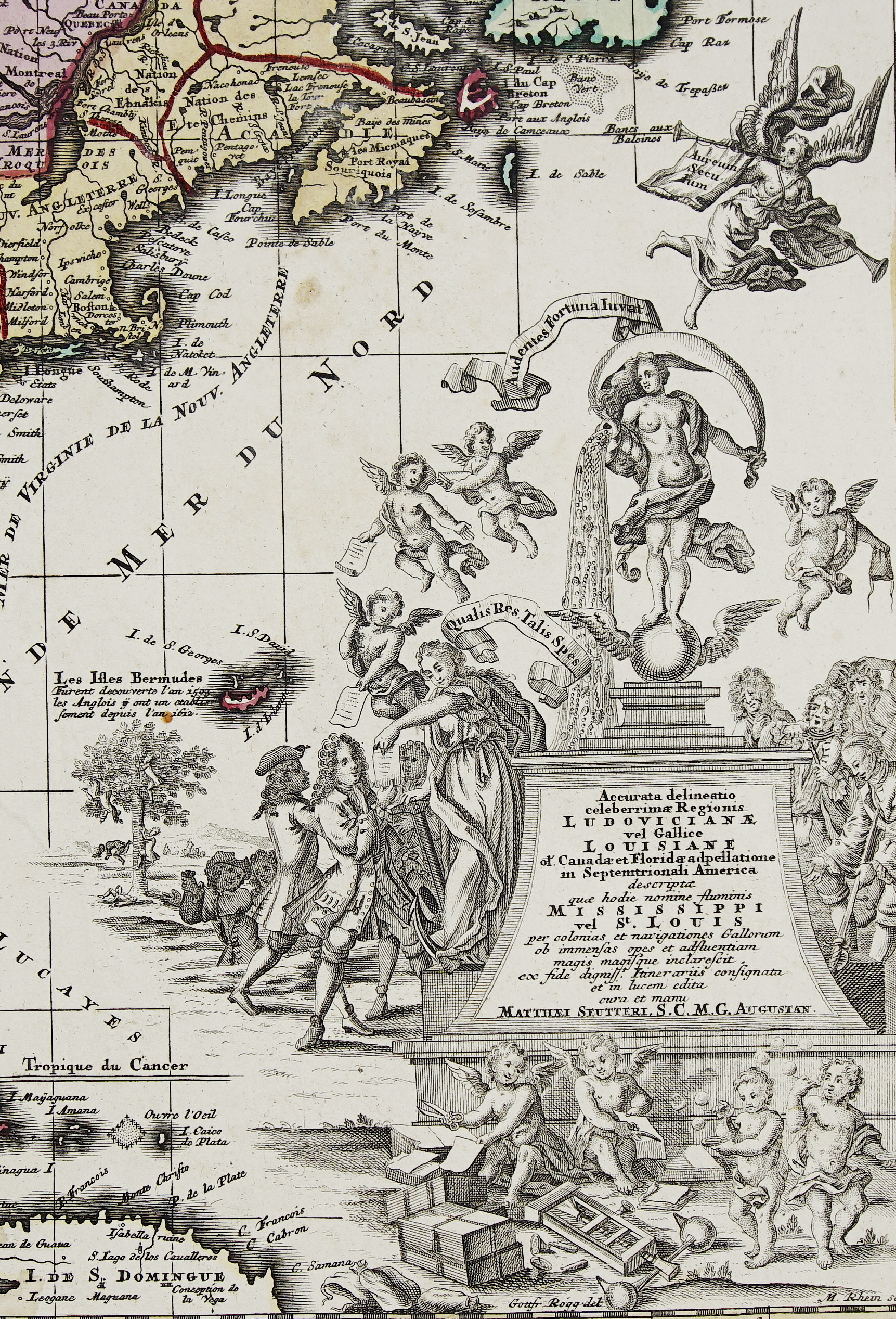
One of the great satirical maps of the 18th century. It is a richly coloured map of French Louisiana and eastern North America, whose title cartouche mocks the Mississippi Bubble, the first great stock-market crash.
In 1717 the Scottish financier John Law won for his Mississippi Company a monopoly of trade with French Louisiana. Shares in the company were sold on promises of the colony’s boundless wealth. Speculation in Paris reached a frenzy in 1719, the bubble burst in 1720, and thousands of investors across Europe were ruined.
The cartouche tells the story:
- Fortuna: the goddess of fortune, who also stands for the Mississippi, pours gold and jewels on the crowd below. She is balanced on a winged ball, with a banner reading “Audentes Fortuna iuvat” (Fortune favours the bold).
- The investors: on the left, well-dressed investors eagerly take shares from putti, beneath the motto “Qualis res, talis spes” (As the thing is, so is the hope).
- The ruined: on the right, a crowd of ruined investors look on in despair. In the background, others climb a tree to throw themselves from it.
- Below: putti print share certificates from nothing, and two boys blow soap bubbles.
- Above: an angel flies past with a trumpet and a book inscribed “Aureum Seculum” (The Golden Age).
The cartouche was designed by Gottfried Rogg and engraved by Melchior Rhein, whose signatures appear below it.
The map itself is based on Nicolas de Fer’s map of 1718. It covers the continent from Hudson Bay, Labrador and Newfoundland down to Cuba, Hispaniola and the Yucatán, and from the Atlantic coast to New Mexico. The colouring sets out the rival empires:
- Pink: New France, centred on the Great Lakes and the St Lawrence.
- Green: Louisiana, along the Mississippi.
- Yellow: the English colonies along the coast.
The map is crowded with forts, missions, Native nations and trade routes. A note on the Gulf coast marks where La Salle landed in January 1685, unable to find the mouth of the Mississippi.
An inset in the upper left shows the Louisiana coast, from the Mississippi Delta to Mobile Bay and Pensacola, “with the islands, ports and settlements possessed by the French”. In the lower left, a scale shows distance in hours of travel, and a small table gives the coordinates of Quebec, Port Royal and Jamestown.
Matthäus Seutter (1678–1757) trained under Johann Baptist Homann in Nuremberg and founded his own firm in Augsburg. He was appointed Geographer to the Emperor (the “S.C.M.G.” in the title) in 1731.
Cartographer: Matthaeus Seutter (1678 – 1757)
Cartouche: designed by Gottfried Rogg, engraved by Melchior Rhein
Sheet size: 52,1 x 62,2 cm
Year: c. 1735
Technique: copper engraving
Condition:
Good. Heavy watermarked paper with contemporary hand colour. A 10 cm split in the lower centrefold has been professionally repaired. Small water stain at the bottom, light soiling and browning.
This is a genuine antique map published circa 1735 and NOT a modern copy or reprint
On your request I will provide a Certificate of Authenticity
In stock