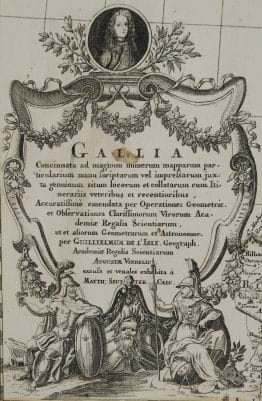
c. 1740 – M. Seutter – Le Plan de Paris
600 €
Title: “Le Plan de Paris, ses Faubourgs et ses Environs…” & “Grund-Riss der Stadt Paris…”
Description:
Attractive and detailed plan of Paris embellished with a city coat of arms. A note at lower right explains that Paris is divided into three parts, the City, the Town and the University. A lettered key names 23 important buildings.
The map comes from the Tobias Conrad Lotter atlas “Atlas minor. Praecipua orbis terrarum imperia, regna et provincias, Germania potissimum tabelli 80 exactae delineatis sistens usui militiae ducum ac peregrinantium maxime accommodatus opera”, engraved by Tobias Conrad Lotter, published c. 1740 in Augsburg.
Cartographer: Matthaeus Seutter (1678 – 1757)
Sheet size: 59,0 x 50,5 cm
Year: c. 1740
Technique: copper engraving
Condition:
Good condition. Contemporary coloring. Few of pres’s creases present. Professionally cleaned and verso, for protective reasons, backed with japanese tissue. Narrow margins.
This is an original antique map published circa 1740 and NOT a modern copy or reprint
On your request I will provide a Certificate of Authenticity
In stock