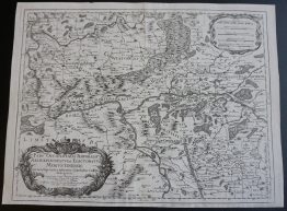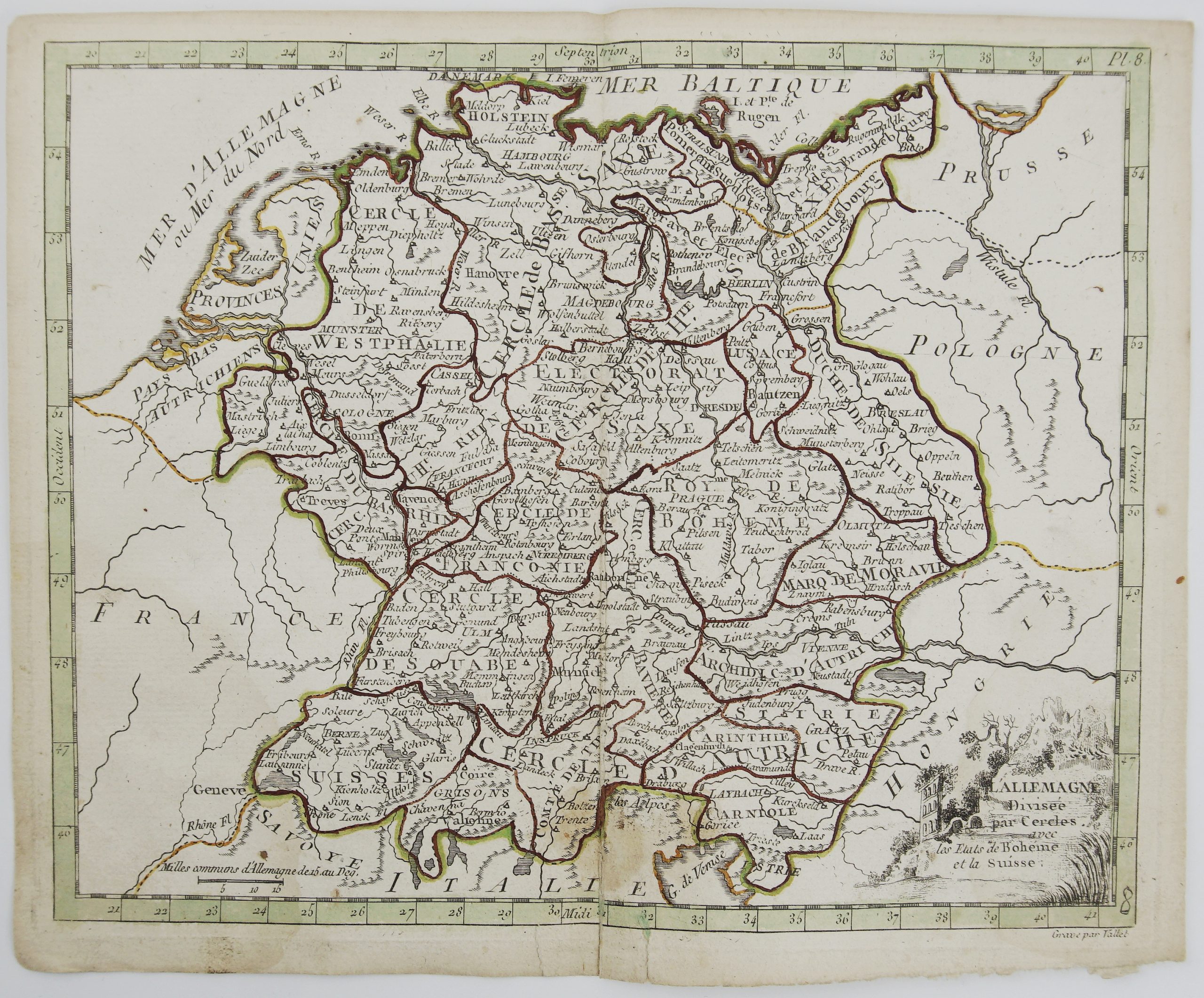
1778 – J. de La Porte – L’Allemagne
40 €
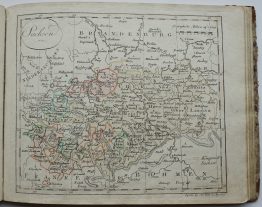
Title: “L’Allemagne Divisee par Cercles avec las Etats de Boheme et la Suisse.”
Description:
Decorative antique map of Germany and Switzerland.
The map comes from Joseph de La Porte atlas “Atlas moderne portatif, composé de vingt-huit cartes sur toutes les parties du globe terrestre… A l’usage des Colléges, des Pensions & des Maisons Religieuses…” published in Paris, 1778.
Cartographer: Joseph de La Porte (1714 – 1779)
Sheet size: 23,3 x 19,3 cm
Year: 1778
Technique: copper engraving
Condition:
Good condition. Contemporary coloring. Small lower middle fold separation and brownish spot present.
This is an original antique map published in 1778 and NOT a modern copy or reprint
On your request we will provide a Certificate of Authenticity
In stock