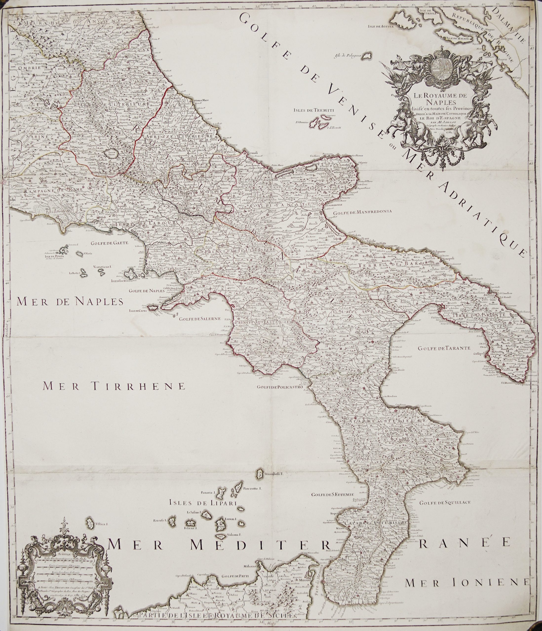
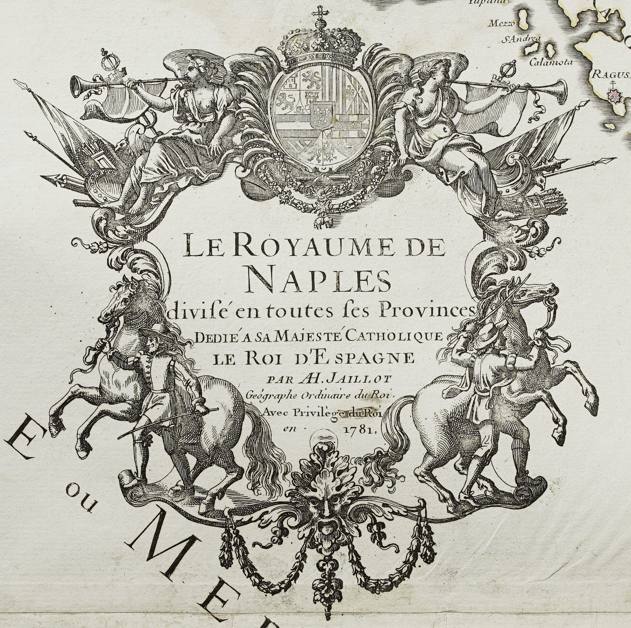
1613 – A. Ortelius – Regni Neapolitani
450 €
Title: “REGNI NEAPOLITANI VERISSIMA SECVNDVM ANTIQVORVM ET RECENTIORVM TRADITIONEM DESCRIPTIO, PYRRHO LIGORIO AVCT.”
Description:
Very attractive antique Ortelius map of the Southern Italy authored by Pirro Ligorio. Notably, the map is oriented with north to the left, as indicated by the decorative compass rose on the right side. It depicts the Neapolitan region, including Calabria and the surrounding seas (Golfo di Venetia and Ionio pars) including towns of Ascoli Piceno, Naples, Foggia, Bari, Catanzaro and Messina. The map features a large decorative cartouche at the bottom center containing the title, a fine sailing ship in the lower left, and detailed topographic features.
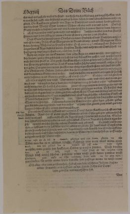
Verso historical text is written in an old Dutch dialect, describes the Kingdom of Naples during the 16th or 17th century, detailing its geography, the city of Naples itself, and its status under Spanish rule. The text defines the Kingdom of Naples as comprising the southern half of Italy, stretching from the Tronto River down to the Strait of Messina. It highlights Naples as a populous, wealthy city filled with palaces, noblemen, and strong fortifications constructed by Emperor Charles V. The surrounding countryside is praised for its fertility, producing abundant grain, wine, and fruit, leading the author to describe the region as an earthly paradise.
The map comes from rare Dutch edition Abraham Ortelius atlas “Theatrum Orbis Terrarum. Auctoris aere & cura impressum absolutumque apud Aegid. Coppenium Diest, Antverpiae” published by Jan and Balthasar Moretus in Antwerp, 1613.
Theatrum Orbis Terrarum is widely recognized as the first modern atlas which shaped the future of cartography throughout the 17th century. It utilized text and maps to fully explore the known world. he publication of this atlas marked an epoch in the history of cartography. It was the first uniformly sized, systematic collection of maps of the countries of the world based only on contemporary knowledge and in that sense may be called the first modern atlas.
Cartographer/ publisher: Abraham Ortelius (1527 – 1598)
Sheet size: 58,5 x 44,2 cm
Year: 1613
Technique: copper engraving
Condition:
Very good condition. Strong press on watermarked paper. One wormhole present.
This is an original antique map published in 1613 and NOT a modern copy or reprint
On your request I will provide a Certificate of Authenticity
In stock