1588 – S. Munster – Franckenlandt
120 €
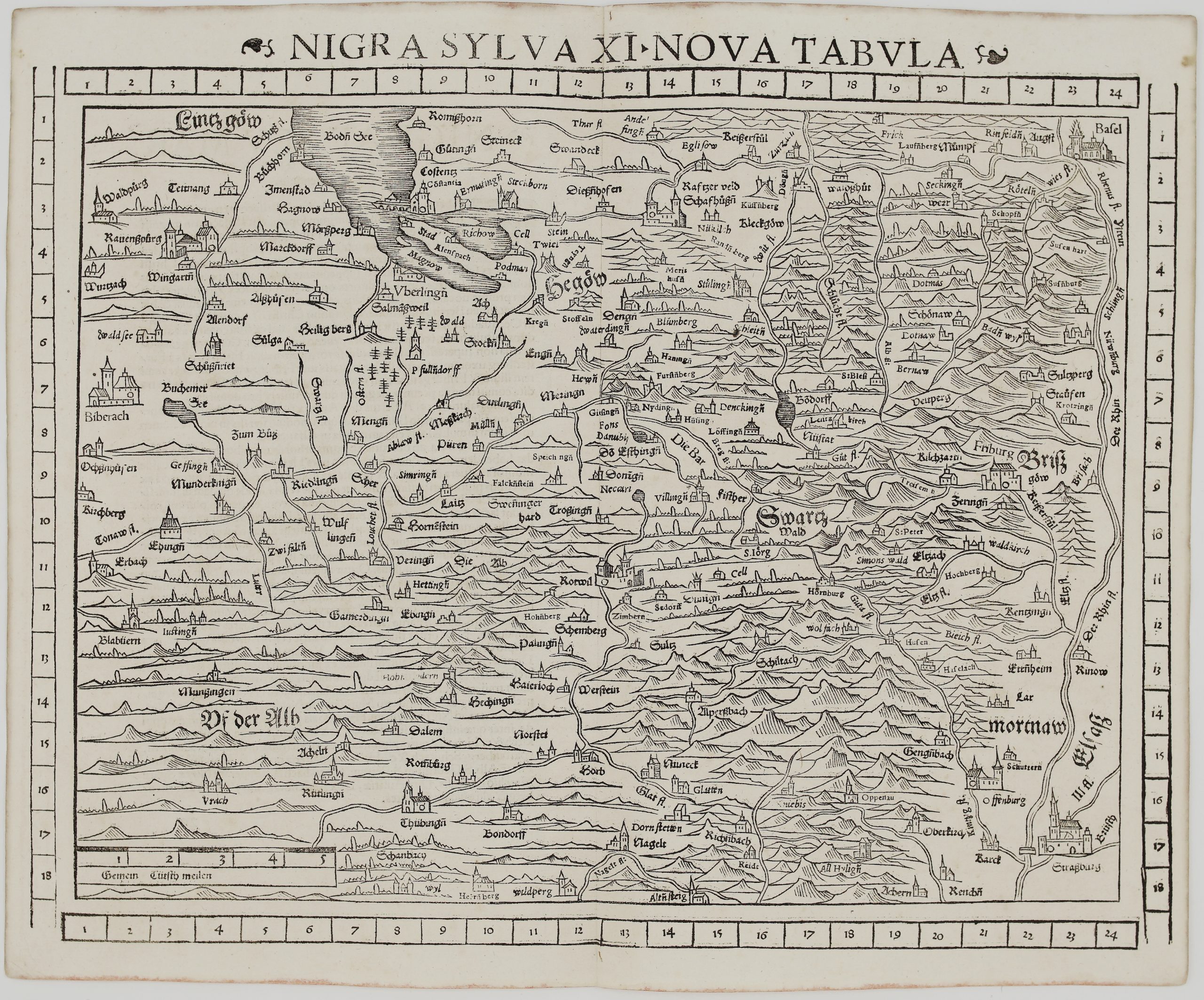
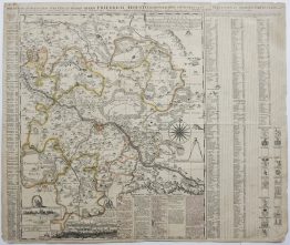
Title: “Franckenlandt am Mayn beschriben nach aller gelegenheit in Stetten Bergen Wassern, Walden und anstostenden Landern.”
Description:
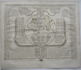
An early Sebastian Munster’s south-oriented map of Franconia, Bavaria, Germany, showing the Main River and towns: Aschaffenburg, Stockstadt, Schmalkalden, Thuringian Forest, Sulzbach, Amberg and Rothenburg ob der Tauber.
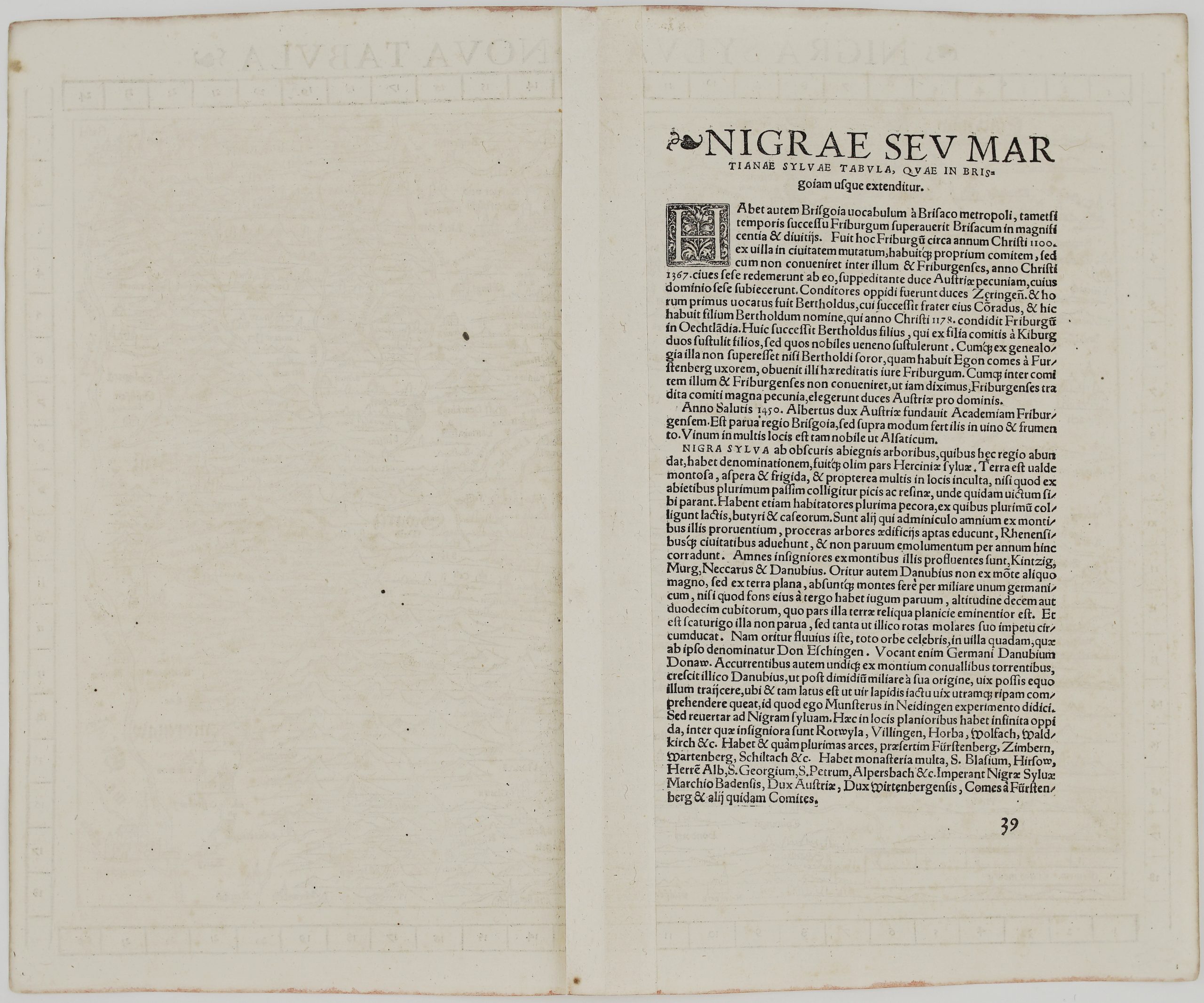
Map comes from the German edition of Sebastian Münster’s Cosmography, titled “Cosmographey oder beschreibung aller Länder…”, published in 1588 by Heinrich Petri in Basel.
Cartographer: Sebastian Munster (1488 – 1552)
Sheet size: 42,0 x 32,8 cm
Year: 1588
Technique: woodcut
Condition:
Good condition. Small restoration in midlefold present.
This is an original antique map published in 1588 and NOT a modern copy or reprint
On your request I will provide a Certificate of Authenticity
In stock