1598 – S. Munster – Franckreich
120 €
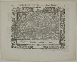
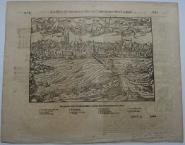
Title: “Das gantze Franckreich/ so vorzeiten Narbonensis, Lugdunensis, Belgica und Celtica ist genennt worden.”
Description:
Antique woodcut map of France created by the German cartographer Sebastian Münster. The map provides a geographical and historical perspective of France, detailing mountain ranges, river systems, cities, and fortified positions. It uses pictorial representations for terrain like forests and hills.
Map comes from the German edition of Sebastian Münster’s Cosmography, titled “Cosmographey oder beschreibung aller Länder, Herrschafften, fürnemmsten Stetten, geschichten, gebreüchen, handtierungen &c.”, published in 1598 by Heinrich Petri in Basel.
Cartographer: Sebastian Munster (1488 – 1552)
Sheet size: 39,7 x 32,2 cm
Year: 1598
Technique: woodcut
Condition:
Reasonable condition. Tinny losses along center fold have been professionally restored. Narrow upper margin.
This is an original antique map published in 1598 and NOT a modern copy or reprint.
On your request I will provide a Certificate of Authenticity
In stock