1676 – J. Speed – Europ
1,700 €
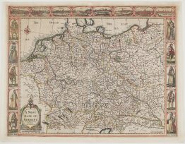
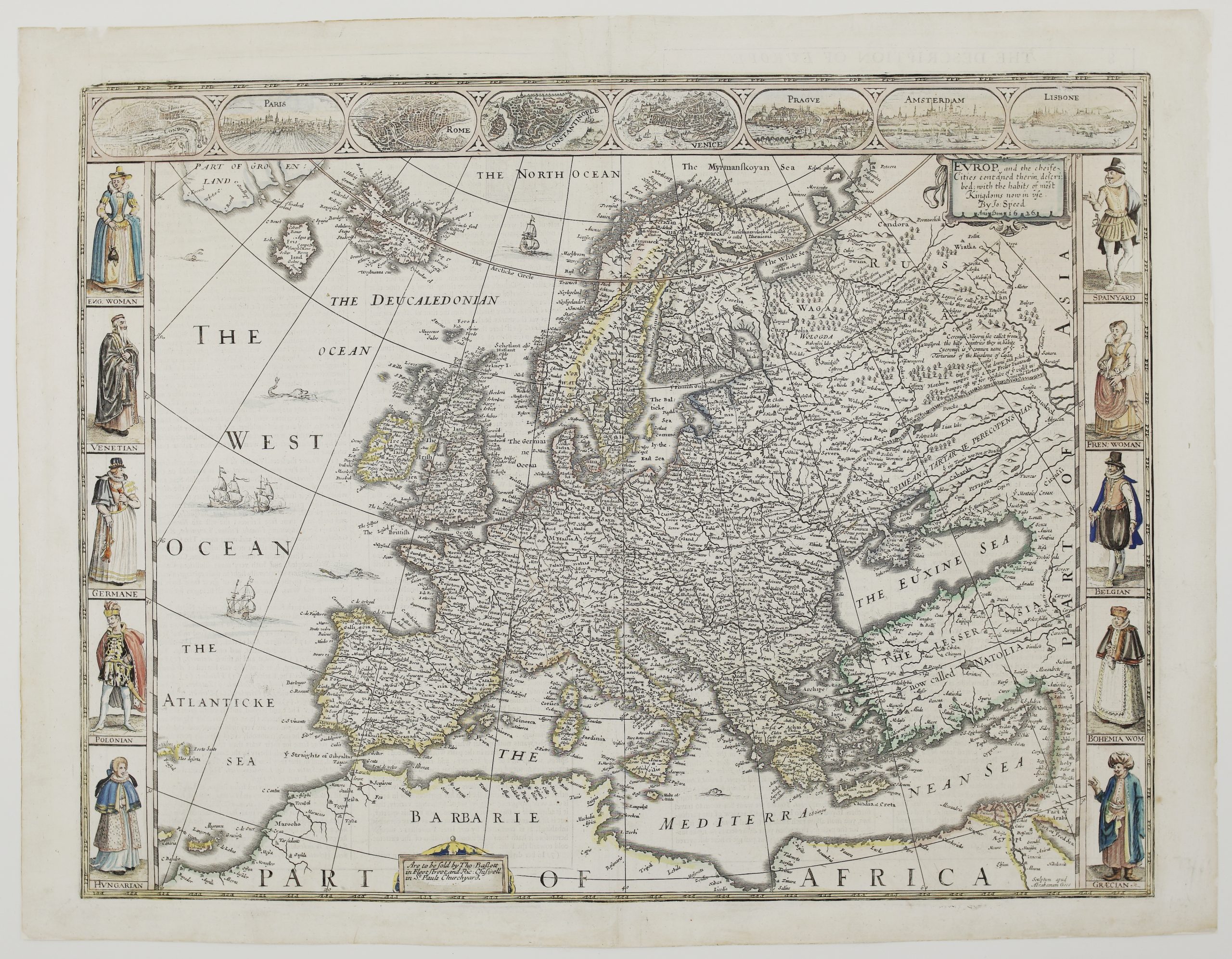
Title: “Evrop, and the cheife Cities contayned therin described; with the habits of most Kingdoms now in vse. By Jo: Speed. Anno Dom. 1626.”
Description:
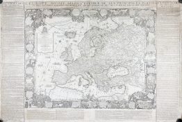
A splendid carte à figures map of Europe by John Speed, from A Prospect of the Most Famous Parts of the World, the first world atlas produced by an Englishman. The plate is dated 1626 and the atlas was first published in 1627. This example comes from the final edition of 1676, published in London by Thomas Bassett and Richard Chiswell, whose imprint appears in the cartouche at the foot of the map.
The map is framed on three sides by decorative panels:
- Along the top: eight views and plans of London, Paris, Rome, Constantinople, Venice, Prague, Amsterdam and Lisbon.
- Down the sides: ten men and women in the dress of their nations: an English woman, a Venetian, a German, a Pole, a Hungarian, a Spaniard, a French woman, a Belgian, a Bohemian woman and a Greek.
The map runs from Greenland and Iceland, with the imaginary island of Frisland, across to Muscovy and the Crimea, and down to the coast of North Africa. Ships and sea monsters fill the Atlantic.
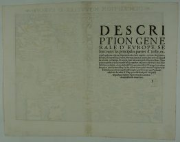
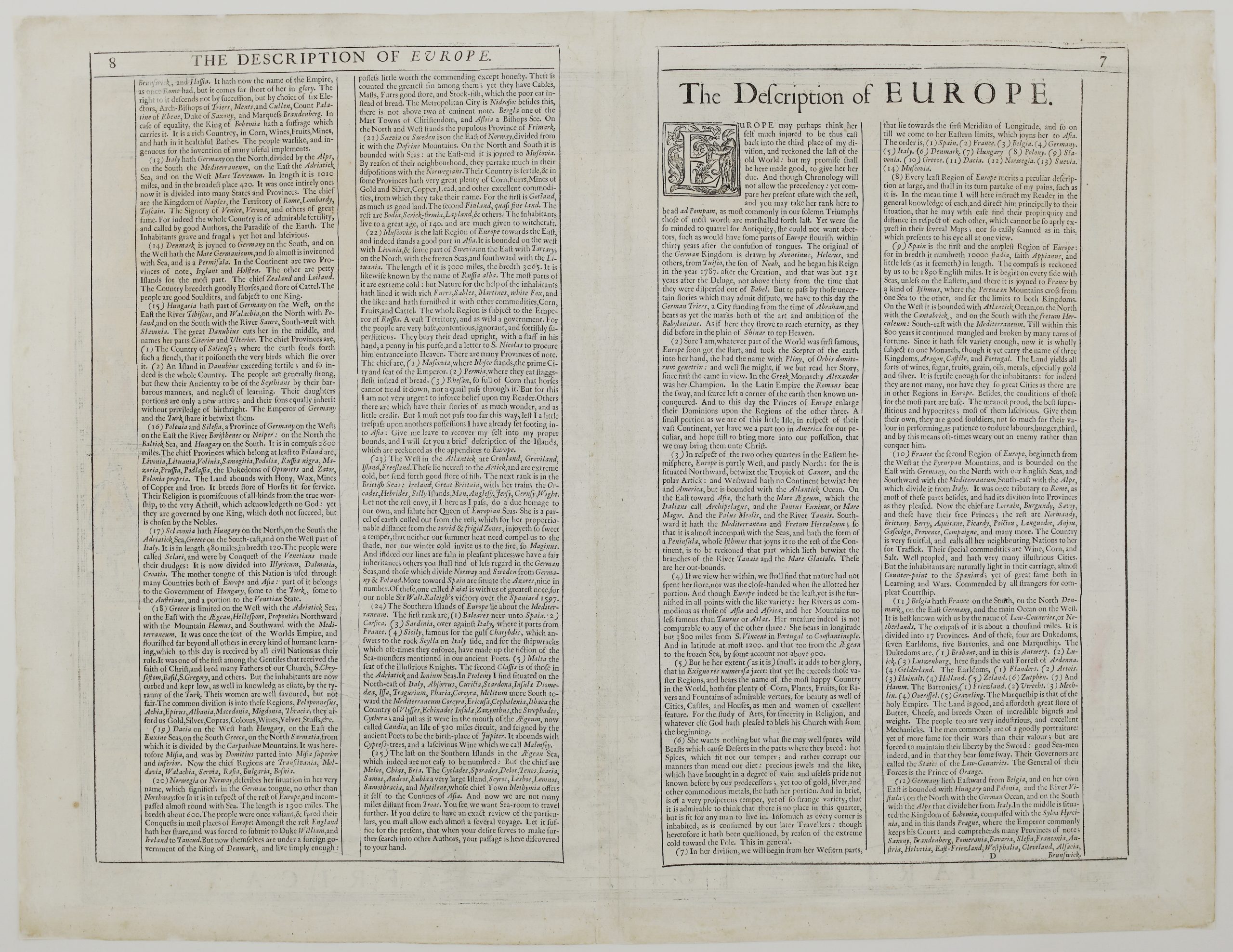
On the back is Speed’s English text, “The Description of Europe”, which describes each country in turn in lively 17th-century prose. Poland, he writes, includes “Livonia, Lituania, Volinia, Samogitia, Podolia”, and “the Land abounds with Hony, Wax, Mines of Copper and Iron”. In Muscovy, he reports, the dead are buried upright “with a staff in his hand, a penny in his purse, and a letter to S. Nicolas to procure him entrance into Heaven”.
The map was engraved in Amsterdam by Abraham Goos, who signed it “Sculptum apud Abrahamum Goos” in the lower right corner. John Speed (1551–1629) began as a tailor in London and became one of England’s most famous mapmakers. Together with his county atlas, The Theatre of the Empire of Great Britaine, the Prospect made him the leading English cartographer of his time.
Cartographer: John Speed (1551 – 1629)
Engraver: Abraham Goos
Publisher: Thomas Bassett and Richard Chiswell, London
Sheet size: 57,6 x 44,6 cm
Year: 1676 (plate dated 1626)
Technique: copper engraving
Condition:
Good condition Attractive hand coloring. Paper with watermark.
This is a genuine antique map published in 1676 and not a modern copy or reprint.
On your request I will provide a Certificate of Authenticity
In stock