1693 – N. de Fer – Coblentz
30 €
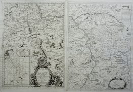
Title: “COBLENTZ Ville d’Allemagne, de l’Archeve che de Treves, située a 50.degrez 23. minutes de Latitude, et 20. degree 10. minutes de Longi tude, au Conflans de la Mo selle auce le Rhein devant le fameux Chateau d’Ermanstein. A PARIS Chez les De Fer, dans l’hels du Palais, Siw le Quay de l’or loge, a la Sphere Royale.. Avec Privil du Roy 1601.”
Description:
Very decorative plan of the fortified city of Koblenz and the nearby Ehrenbreitstein Fortress, Germany.
The engraving comes from the Nicolas de Fer atlas “Les Forces de l’Europe, ou Description des principales villes, avec leurs fortifications.” engraved by Herman van Loon, published in Paris, 1693.
Cartographer: Nicolas de Fer (1646 – 1720)
Sheet size: 34,0 x 29,7 cm
Year: 1693
Technique: copper engraving
Condition:
Good, original condition.
This is an original antique map published in 1693 and NOT a modern copy or reprint
On your request I will provide a Certificate of Authenticity
In stock