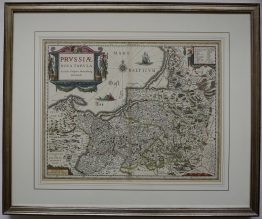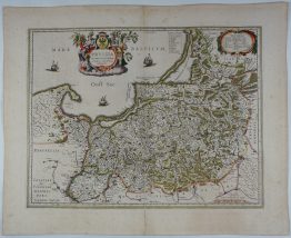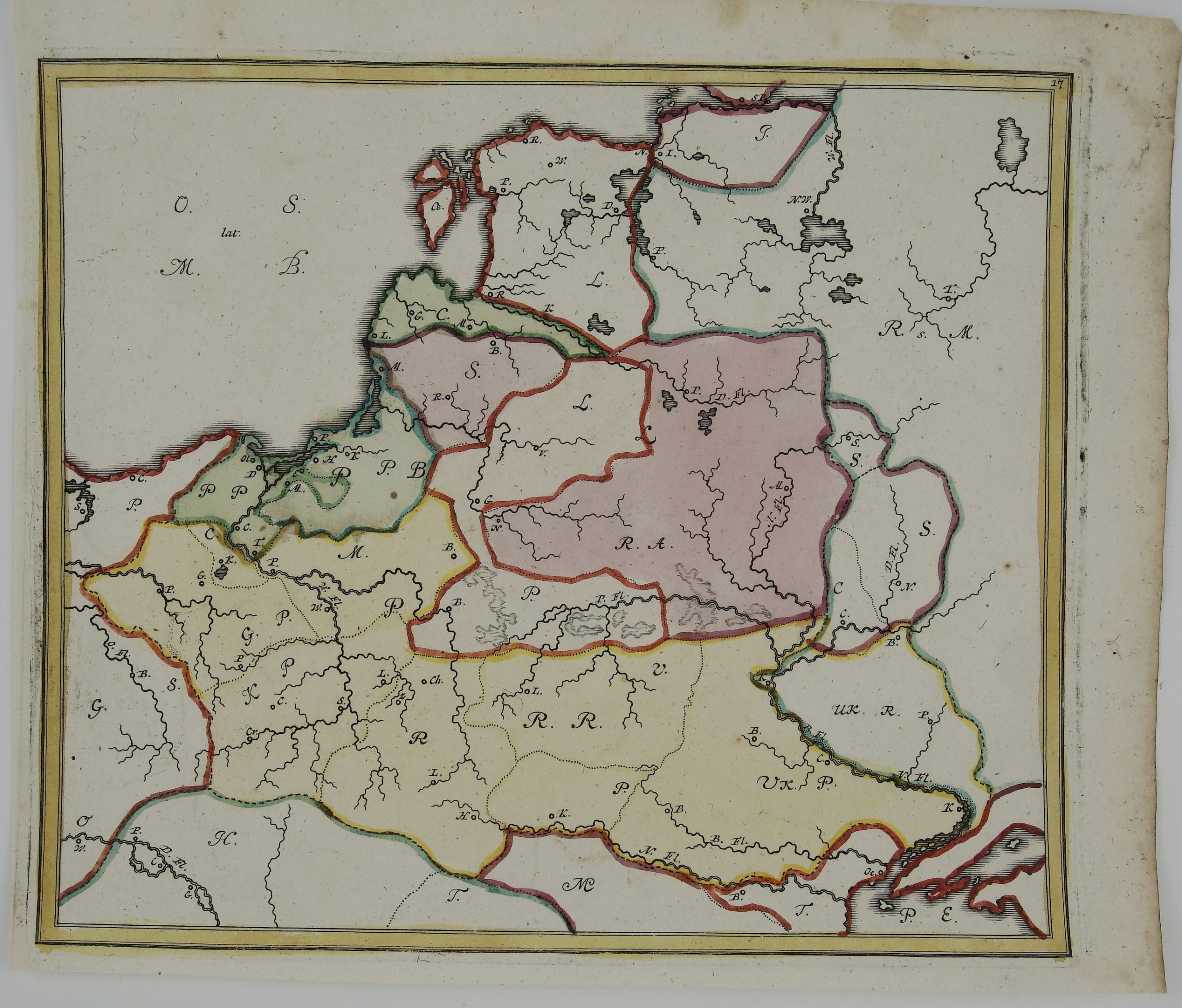
1719 – J. B. Homann – O. S. lat M. B.
Title: “O. S. lat M. B.”
Description:
A rare antique map covering the region of Lithuania, Poland and present-day of Belarus. This is one of the earliest examples of school maps that used this type of system to teach geography adapted by Johann Baptist Homann and Johann Hubner. Each geographical location is identified with a letter that corresponded with an index revealing the answers.
The map comes from the School Atlas “Atlas methodicus explorandis juvenum profectibus in studio geographico ad methodum Hübnerianam. Methodischer Atlas. Das ist Art und Weise, wie die Jugend in Erlernung der Geographie füglich examiniret werdenkan / nach Hübnerischer Lehr-Art.“ published in Nuremberg 1719.
Cartographer: Johann Baptist Homann (1664-1724) & Johann Hubner (1688-1731)
Sheet size: 31,4 x 26,8 cm
Year: 1719
Technique: copper engraving
Condition:
Good condition. Contemporary coloring.
This is an original antique map published in 1719 and not a modern copy or reprint
On your request I will provide a Certificate of Authenticity