1730 – J. B. Homann – Graeciae
Title: “Fluviorum in Europa principis Danubii Cum Adiaceniibus Regnis, nec non totius Graeciæ Et Archipelagi Novißima Tabula . . .”
Description:
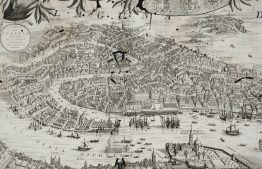
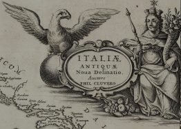
Highly detailed map of a large part of southeast Europe including Greece, Italy, Malta and parts of the Balkans, Adriatic and Aegean Seas. The map also shows the curse of the Danube and decorated with a striking cartouche.
The map comes from the Johann Baptist Homann atlas “Atlas Novus Terrarum Orbis Imperia…“ published in Nuremberg 1730.
Cartographer: Johann Baptist Homann (1664-1724)
Sheet size: 51,7 x 60,3 cm
Year: 1730
Technique: copper engraving
Condition:
Good condition. Original contemporary colors, strong press and on watermarked paper.
This is an original antique map published in 1730 and NOT a modern copy or reprint
On your request I will provide a Certificate of Authenticity