- View cart You cannot add another "1721 - J. Senex - Poland and other the Countries belonging to the Crowne" to your cart.

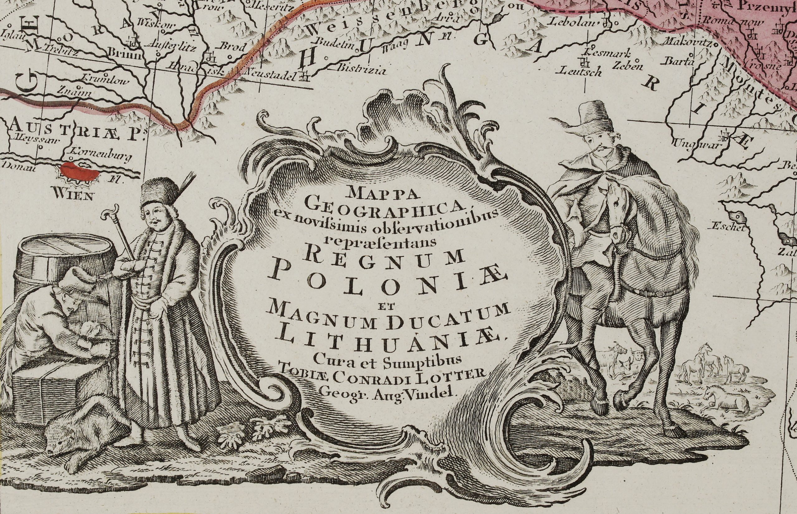
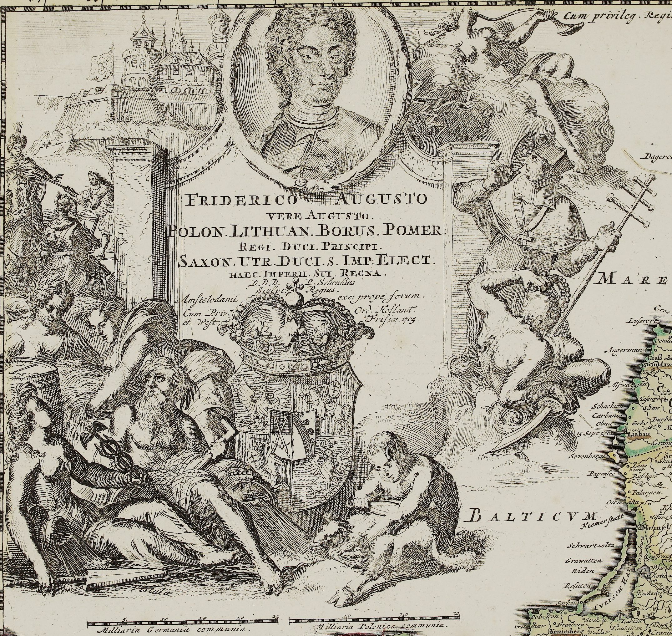
1757 – J. F. Daumont – Les Royaumes De Pologne
1,000 €
Title: “LES ROYAUMES DE POLOGNE ET DE PRUSSE Par Tobie Mayer. Sur les Cartes particuliereset les plus Nouvelles Soumieses a la projection Stereogra-phique mise aujours par les Herities d’Homman. A PARIS Chez Daumont rue St. Martin a l’Aigle d’Or. 1757”
Description:
Rare map of Poland, Prussia, Lithuania and surrounding regions, based upon the map of Tobias Mayer, published by Jean-Francois Daumont.
Publisher: Jean-Francois Daumont (1746- 1775)
Leaf size: 51.4 x 61.7cm
Year: 1757
Technique: copper engraving
Condition:
Very good condition. Strong press on watermarked paper.
This is a genuine antique map published in 1757 and not a modern copy or reprint
On your request I will provide a Certificate of Authenticity
In stock