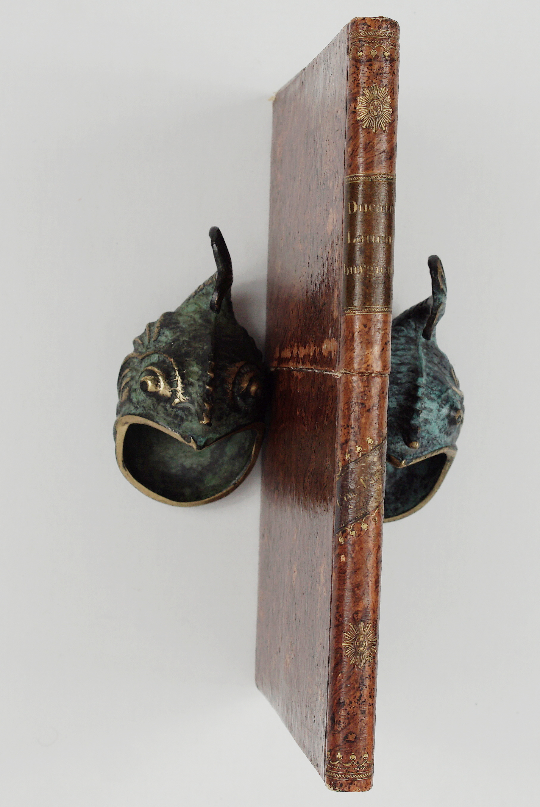
1771 – J. J. Pasquier – Ducatus Lauenburgicus
200 €
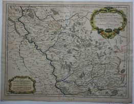
Title: “Ducatus Lauenburgicus ad statum hodiernum conscriptus cum fluvio Steckenitz ex Albi in mare balticum / per cataractas constructas jam navigabili. Ausp. Acad. Scient. Berol. Anno 1771”
Description:
Very detailed copper engraved antique map of Duchy of Saxe-Lauenburg, Germany, covering the Travemünde, Lübeck, Ratzeburg, Mölln, Wittenburg, Geesthacht, Neuhaus, Lauenburg, and Boitzeburg.
Engraved by Pasquier Jean Valet, published by kgl. Akademie der Wissenschaften in Berlin 1771.
Cartographer: Jacques Jean Pasquier (1718-1785)
Size: 59,0 x 48,3 cm
Year: 1771
Technique: copper engraving
Condition:
Good condition. Map mounted on linen and folded. Placed in card board box.
This are an original antique maps published in 1771 and not a modern copy or reprint.
On your request I will provide a Certificate of Authenticity
In stock