- You cannot add that amount to the cart — we have 1 in stock and you already have 1 in your cart. View cart

1777 – L. Brion – I. L’Empire Romain
20 €
Title: “I. Carte de l’Empire Romain…”
Description:
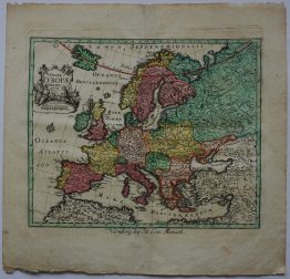
A decorative map of the Roman Empire, extending from France to Great Britain, Germany and east to the Italy.
The map comes from the atlas “Atlas, et Tables élémentaires de Géographie, ancienne et moderne; Adopté par plusiuers Ecoles Royales Militaires. Nouvelle Édition.“ engraved by M. André after drawings by Brion de la Tour, published in Paris 1777.
Cartographer: Louis Brion de la Tour (1743-1803)
Sheet size: 24,0 x 18,7 cm
Year: 1777
Technique: copper engraving
Condition:
Good, original condition. Contemporary outline coloring. Watermarked paper.
This is an original antique map published in 1777 and NOT a modern copy or reprint
On your request I will provide a Certificate of Authenticity
In stock