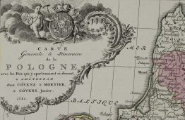
1797 – J. Walch – Polen
800 €
Title: “Polen nach seiner ersten, und lezten, oder gaenzlichen Theilung 1796”
Description:
A rare antique map showing the 1st partition 1772 and 3rd partition 1795 (excluding the 2nd partition of 1793) of the Polish–Lithuanian Commonwealth by Johann Walch, engraved by Franz Xaver Hutter. Fourth state.
The partitions were conducted by the Habsburg Monarchy, the Kingdom of Prussia and the Russian Empire, which divided up the Commonwealth lands among themselves progressively in the process of territorial seizures and annexations.
Author: Johann Walch (1757-1816)
Sheet size: 65,9 x 54,3 cm
Year: 1797
Technique: copper engraving
Condition:
Very good condition. Contemporary coloring, watermarked paper.
This is an original antique map published in 1797 and NOT a modern copy or reprint
On your request I will provide a Certificate of Authenticity
In stock