
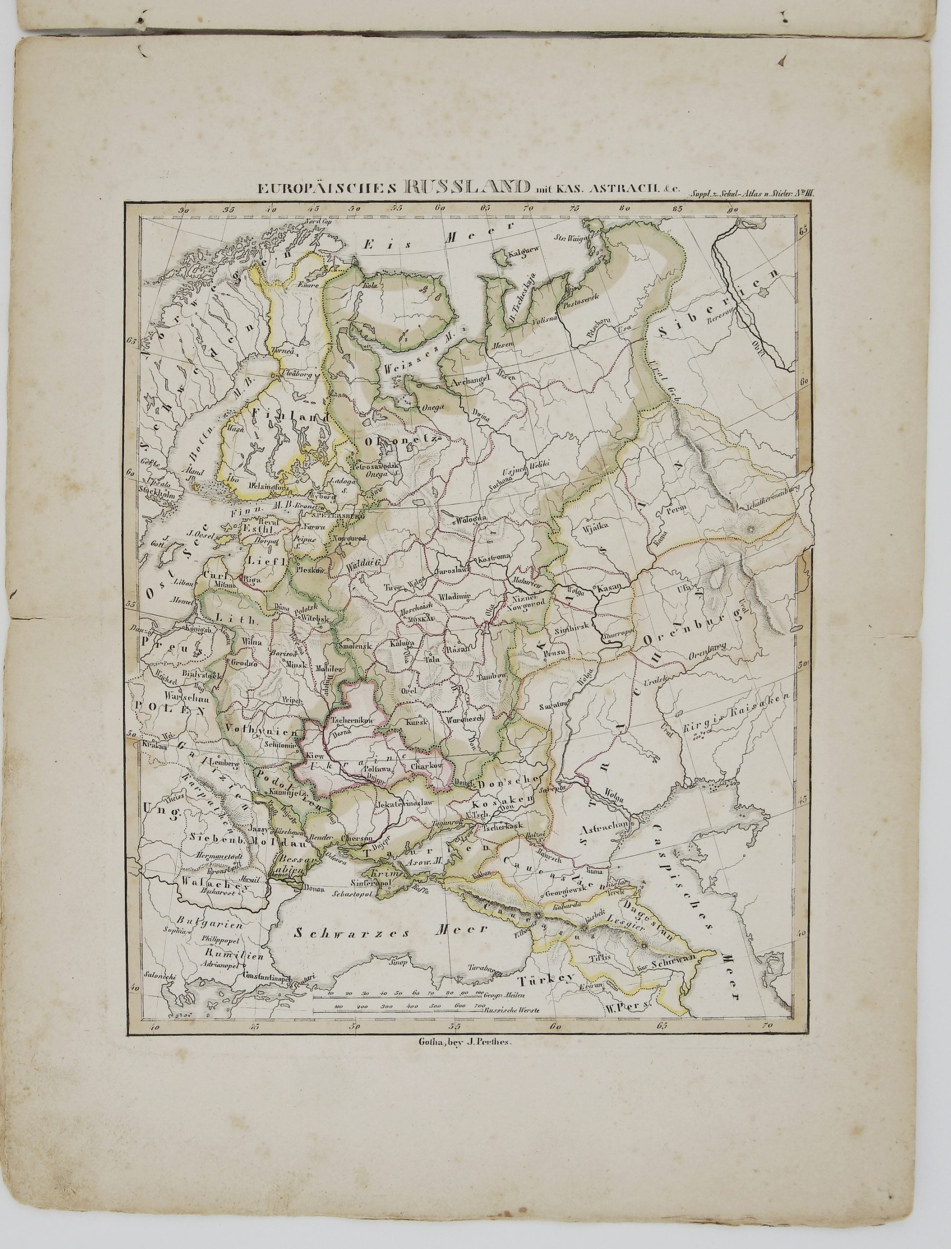
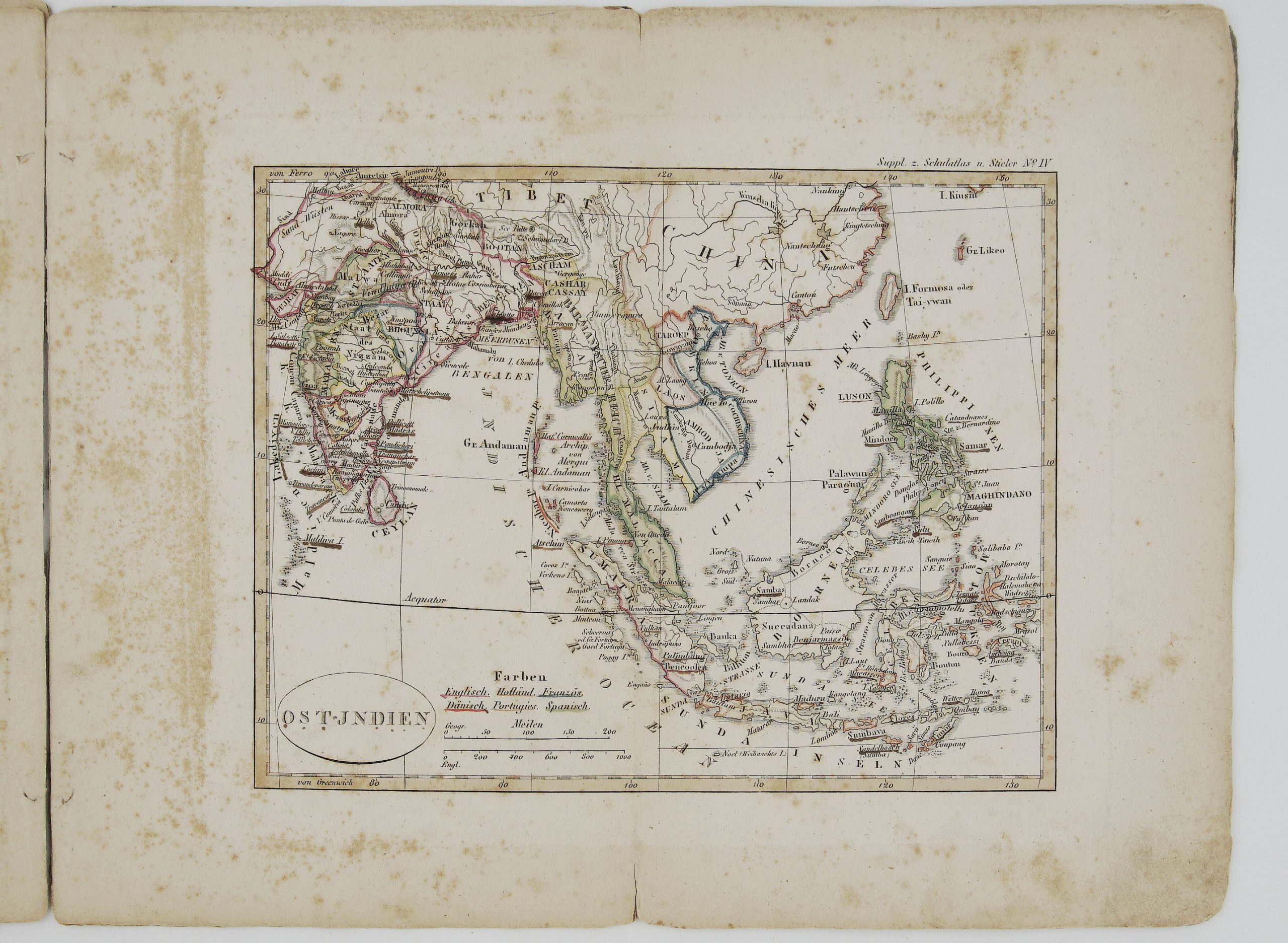
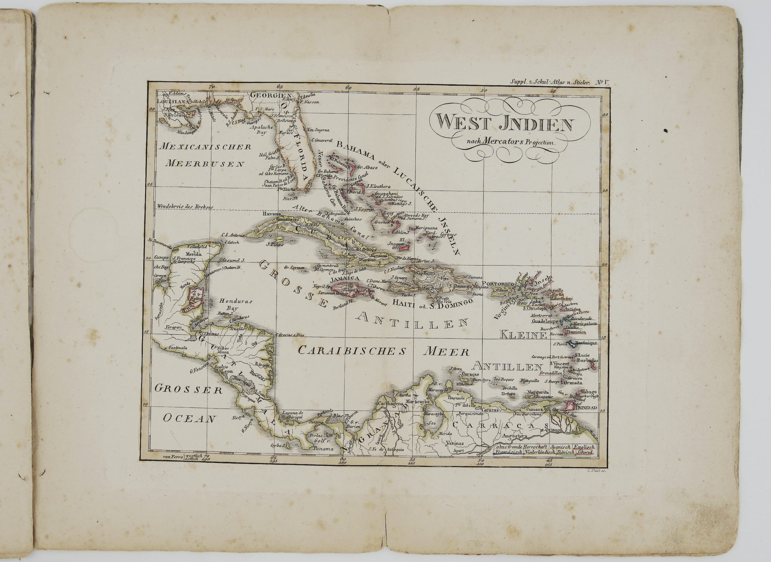
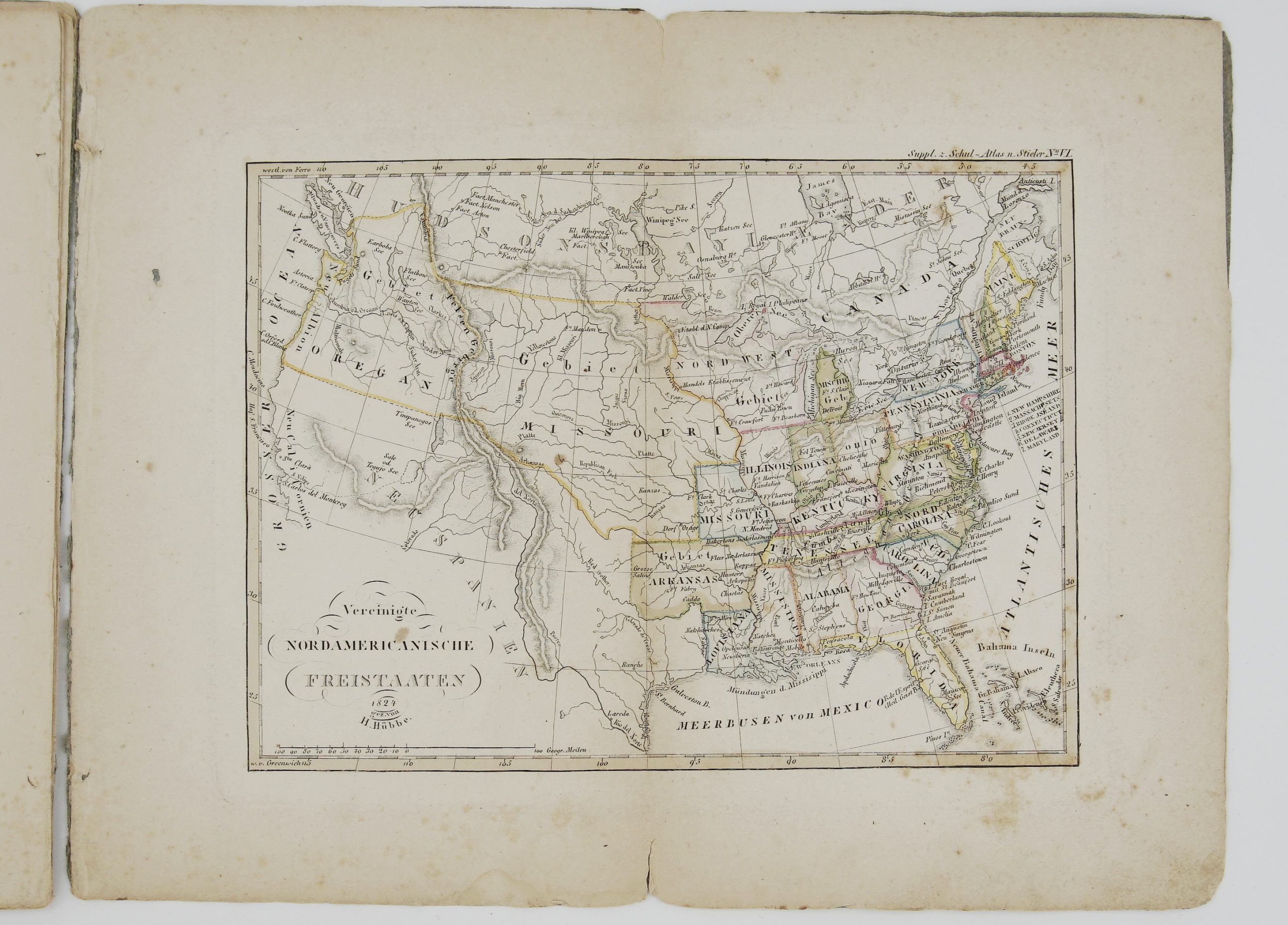
1826 – A. Stieler – Supplement Schul Atlas
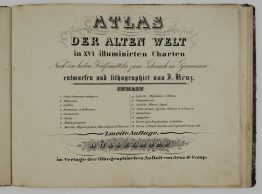
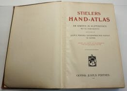
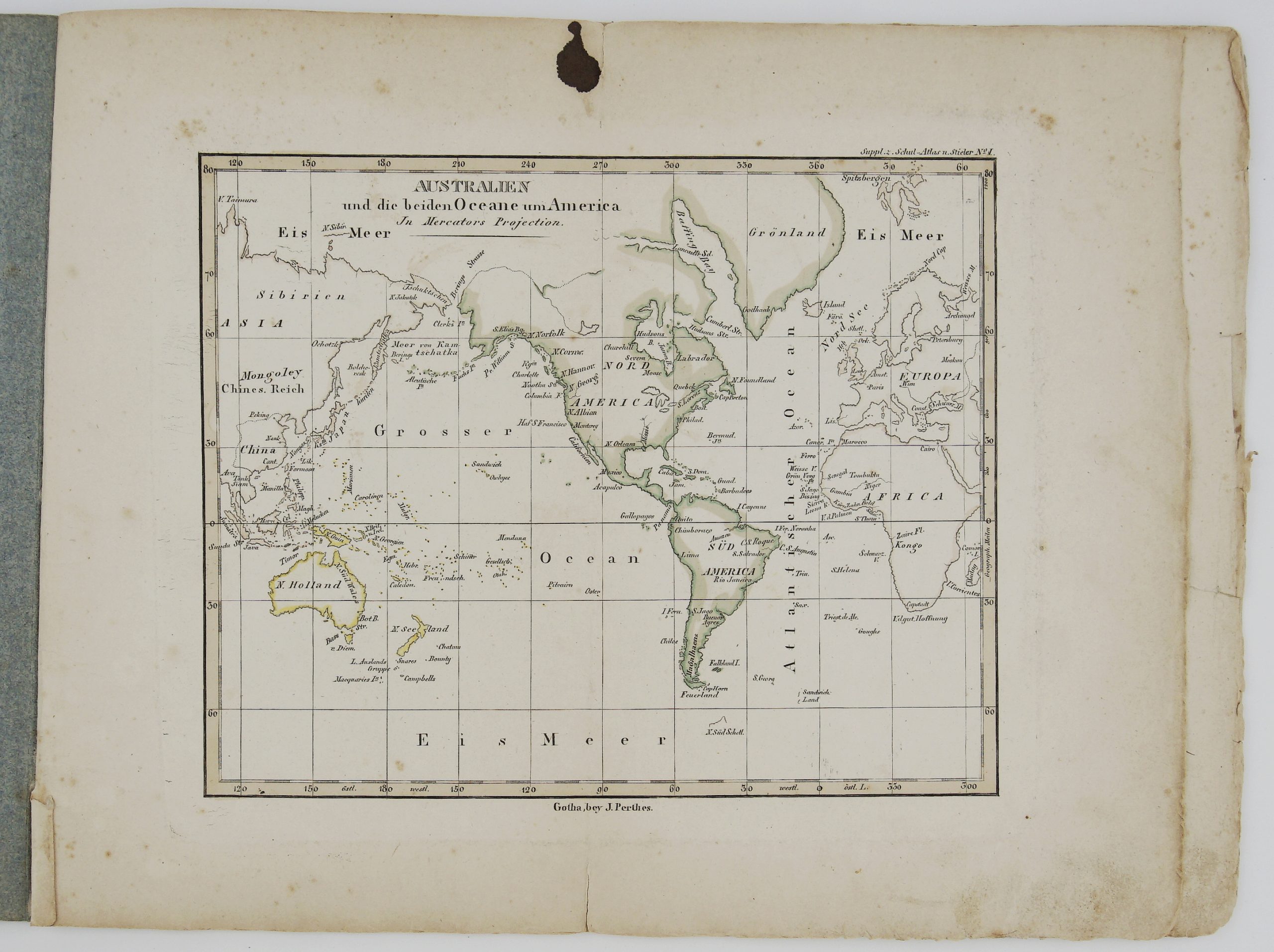
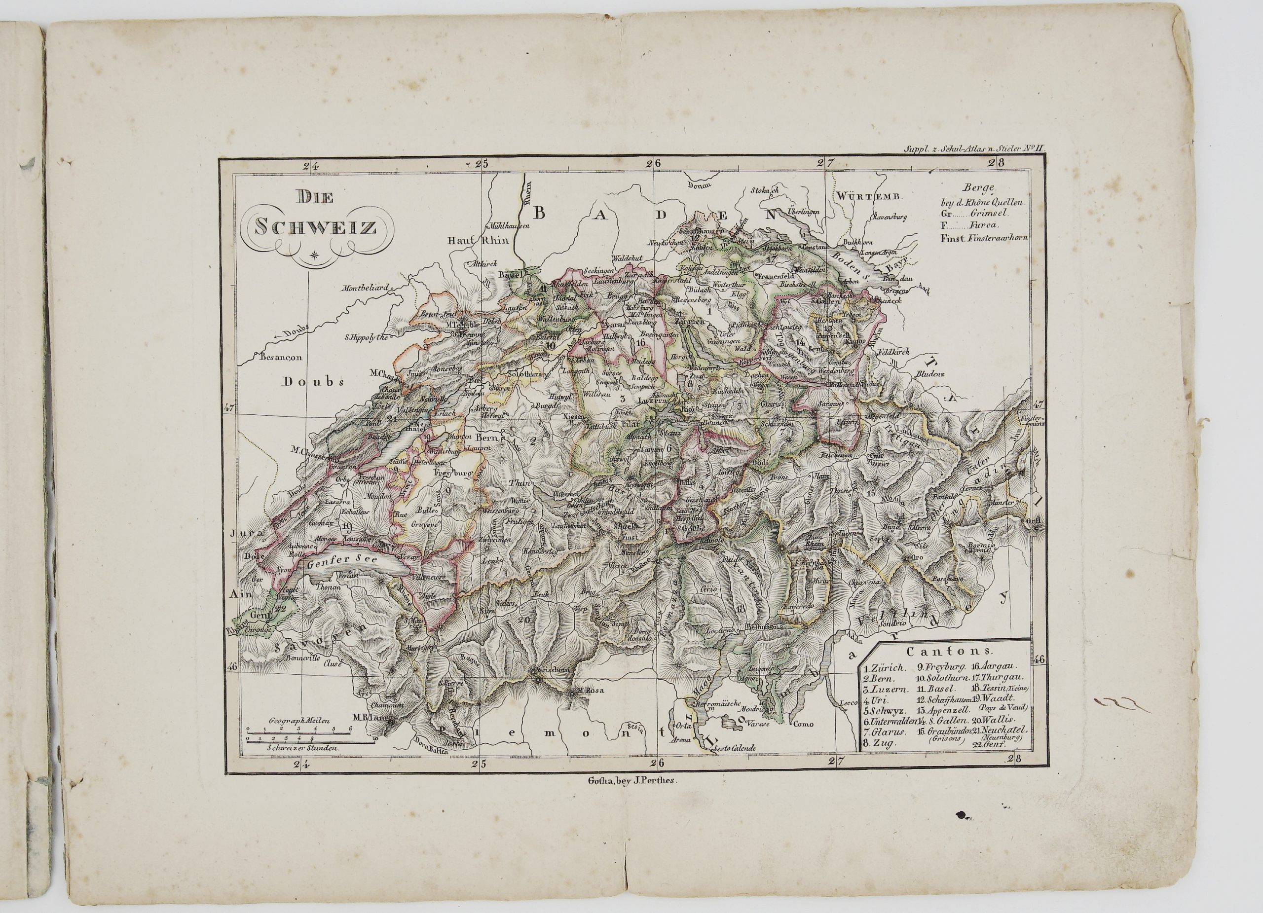
Title: “Supplement – Heft zum Schul-Atlas der neuern Erdbeschreibung. Nach Stieler’s Hand-Atlas verkleinert. Gotha, bei Justus Perthes. 1826.”
Description:
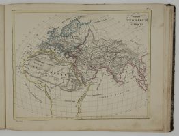
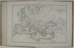
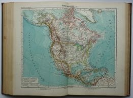
Rare, complete atlas of the World with 6 colored maps published by Justus Perthes in Gotha, used in schools in Germany during the 19th century.
Cartographer/Publisher: Adolf Stieler (1775–1836)
Atlas size: 32,0 cm x 24,8 cm x 0,3 cm
Year: 1826
Technique: lithography
Condition:
Reasonable, original condition. All maps are loose and with middle fold. Some soiling, toning, and occasional foxing, mostly to margins, bumped corners.
This is an original antique atlas published in 1826 and NOT a modern copy or reprint
On your request we will provide a Certificate of Authenticity.