1850 – A. Meissas – Atlas Elementaire
80 €
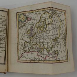
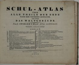
Title: “Petit atlas élémentaire. par MM. Achille Meissas et Auguste Michelot”
Description:
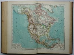
Attractive complete atlas of the World with 8 double-page maps: Mappe-Monde, Europe, Europe Centrale, Asie, Afrique, Amerique, Oceanie and France.
Published by L. Hachette in Paris, 1850.
Cartographer: Achille Meissas & Auguste Michelot
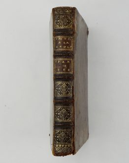
Atlas size: 25,5 cm x 17,0 cm x 1,0 cm
Year: 1850
Technique: lithography
Condition:
Reasonable condition. Original condition, no restorations.
This is an original antique atlas published in 1850 and NOT a modern copy or reprint.
On your request we will provide a Certificate of Authenticity.
In stock