1862 – A. Stieler – Nord America
30 €
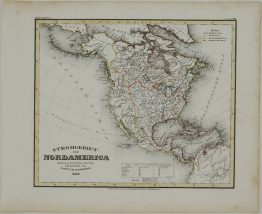
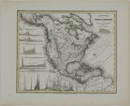
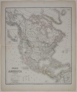
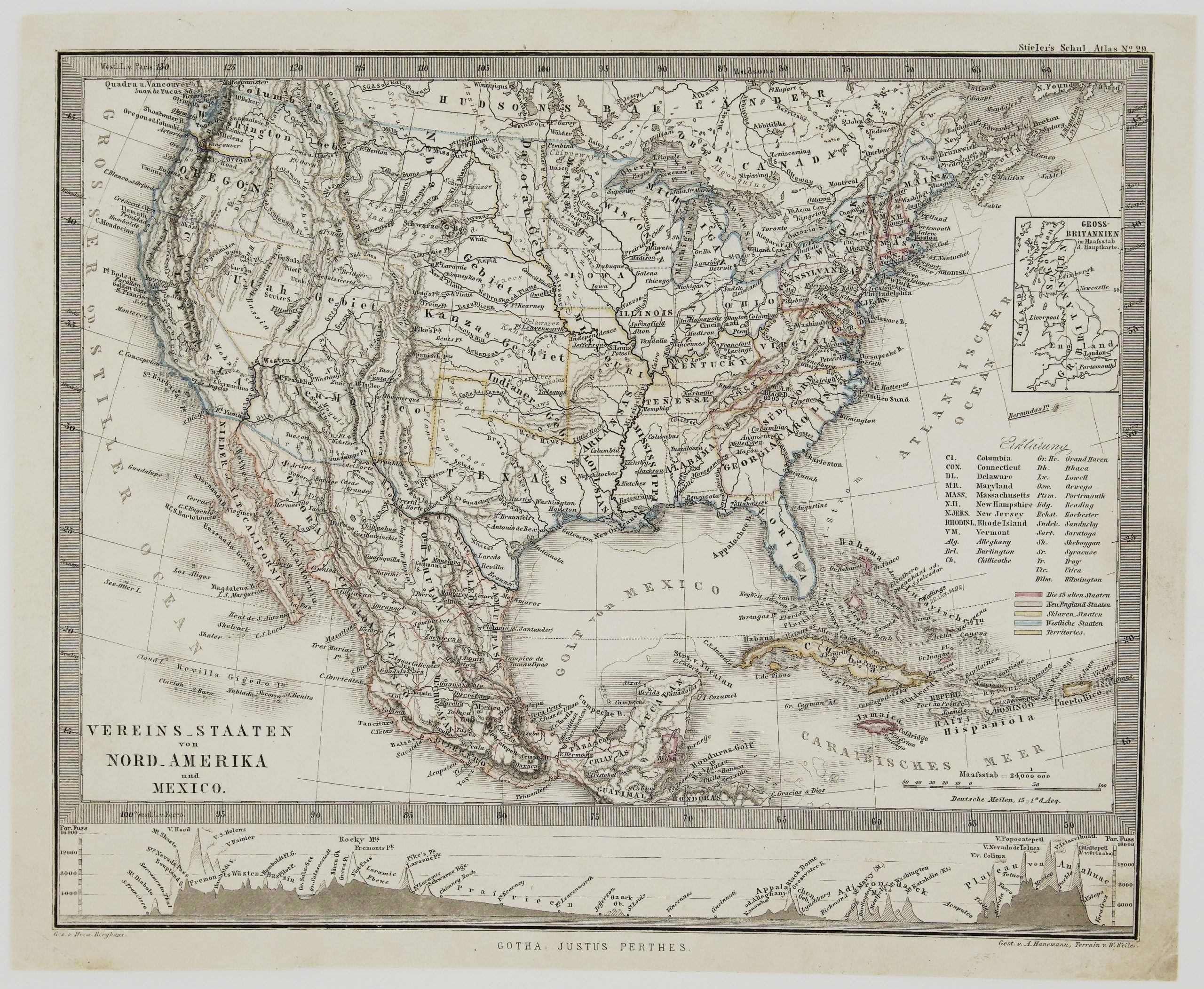
Title: “Vereins Staaten vor Nord Amerika und Mexico.”
Description:
Detailed Stieler’s map of the United States, Mexico and the West Indies. Made at the height of the Civil War, this map separates the Union and Confederate States. The Union is Blue – as is the whole. The Confederate states are pink. Undeclared states and territories are depicted in Yellow. In cartographic flourish unique to Perthes, land profiles decorate the bottom of the map.
Comes from Adolf Stieler atlas “Schul-Atlas uber alle Theile der Erde und Uber das Weltgebaude…” published by Justus Perthes in Gotha.
Cartographer/ Publisher: Adolf Stieler (1775 – 1836)
Sheet size: 27,7 x 22,8 cm
Technique: steel engraving
Year: 1862
Condition:
Very good condition. Original coloring.
This is an original antique map published in 1862 and NOT a modern copy or reprint
On your request I will provide a Certificate of Authenticity
In stock