c. 1730 – A. H. Jaillot – Belgii XVII Provintiarum
250 €
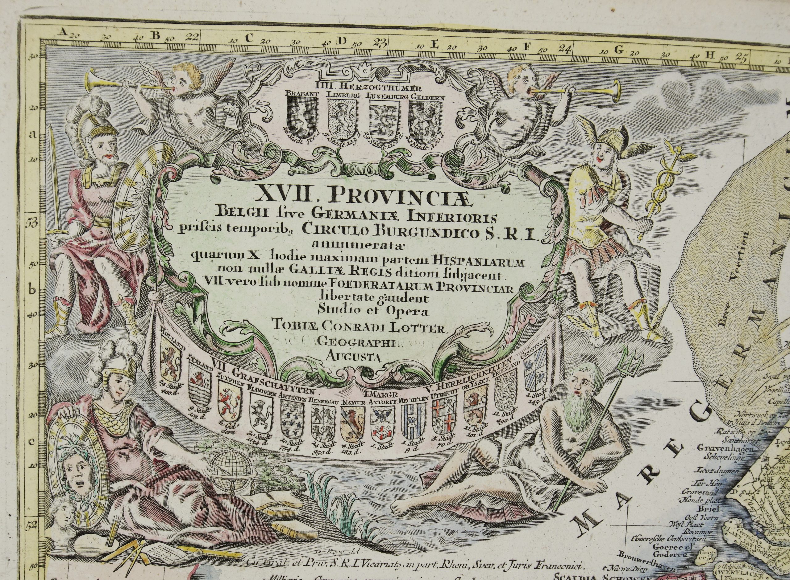
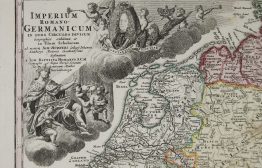
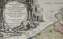
Title: “Belgii XVII. Provintiarum Universa Tabula. ad Usum Serenissimi Burgundiae Ducis…” & “XVII Provinces des Pays-Bas…”
Description:
Decorative and very detailed map of the Netherlands, Belgium and Luxembourg.
The map comes from the atlas “Atlas Nouveau, contenant toutes les parties du monde…” published in Amsterdam by J. Covens & P. Mortier circa 1730.
Cartographer: Alexis Hubert Jaillot (1632 – 1712)
Sheet size: 67,3 x 56,3 cm
Year: c. 1730
Technique: copper engraving
Condition:
Good condition. Original hand coloring. Few folding lines present.
This is an original antique map published circa 1730 and NOT a modern copy or reprint
On your request I will provide a Certificate of Authenticity
In stock