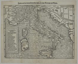
1742 – J. B. Homann – Italia
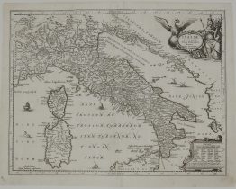
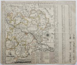
Title: “ITALIA in suos STATUS divisa et ex prototypo del ISLIANO defumta Elementis insuper Geographiae Schazianis accomodata Cutantibus Homannianis Heredibus”
Description:
Highly detailed map of Italy, Malta, Sicily, Corsica, Sardinia and parts of the Balkans and Adriatic. The map is adorned with a decorative title cartouche with the crossed keys of St. Peter at top.
The map comes from the Johann Baptist Homann atlas “Maior Atlas Scholasticus ex Triginta Sex Generalibus et Specialibus…“ drawn Tobias Mayer and published by Homann Heirs in Nuremberg 1742.
Cartographer: Johann Baptist Homann (1664-1724)
Sheet size: 53,1 x 62,2 cm
Year: 1742
Technique: copper engraving
Condition:
Good condition. Original contemporary colors, strong press and on heavy paper, old times reinforcement. Small lower middlefold separation.
This is an original antique map published in 1742 and NOT a modern copy or reprint
On your request I will provide a Certificate of Authenticity