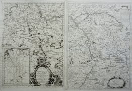
1556 – S. Munster – Poloigne
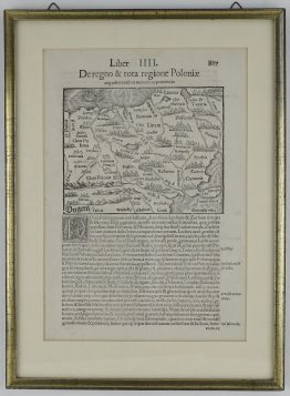
Title: “Briesue description du royaume de Poloigne & des petites provinces qui sont à l’enuiron.”
Description:
An early woodcut map of Poland, centered on Vilnius and Grodno, extending from Danzig and the Oder in the west to Kiev and Lithuania in the east.
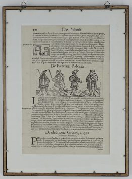
The map comes from the French edition of Sebastian Münster’s Cosmography, titled “La Cosmographie Universelle, contenant la situation de toutes les parties du monde, auecleurs proprietez & appartenances”, published in 1556 by Heinrich Petri in Basel.
Cartographer: Sebastian Munster (1488 – 1552)
Leaf size: 32,5 x 21,3 cm
Year: 1556
Technique: woodcut
Condition:
Good condition for such an early map. Light age toning.
This is an original antique map published in 1556 and NOT a modern copy or reprint
On your request I will provide a Certificate of Authenticity