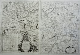
1693 – N. de Fer – Pignerol
50 €
Title: “PIGNEROL, Ville, Forte d’Italie en Piemont situee sur une Montagne de la Vallee de Pesrouse. a 44. Degrez 30. Min de Latitude et 29. Degrez 5. Min de Leongitude acquasepar le Roy fur le Duc de Savoyé en 1630. cette Place esta 5. Lieues de Turin au Sud-Ouest.”
Description:
Very decorative fortification plan of the city of Pinerolo (historically known as Pignerol) in the Piedmont region of Italy. The map illustrates the elaborate bastion fortifications designed to protect the city during a period of intense European military conflict. During the 17th century, Pinerolo was a crucial strategic stronghold for France within the Italian peninsula, often associated with the celebrated military engineer Sébastien Le Prestre de Vauban, whose designs influenced many of the plans in De Fer’s atlas.
The engraving comes from the Nicolas de Fer atlas “Les Forces de l’Europe, ou Description des principales villes, avec leurs fortifications.” engraved by Herman van Loon, published in Paris, 1693.
Cartographer: Nicolas de Fer (1646 – 1720)
Sheet size: 34,0 x 29,7 cm
Year: 1693
Technique: copper engraving
Condition:
Good, original condition.
This is an original antique map published in 1693 and NOT a modern copy or reprint
On your request I will provide a Certificate of Authenticity
In stock