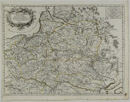
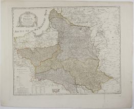
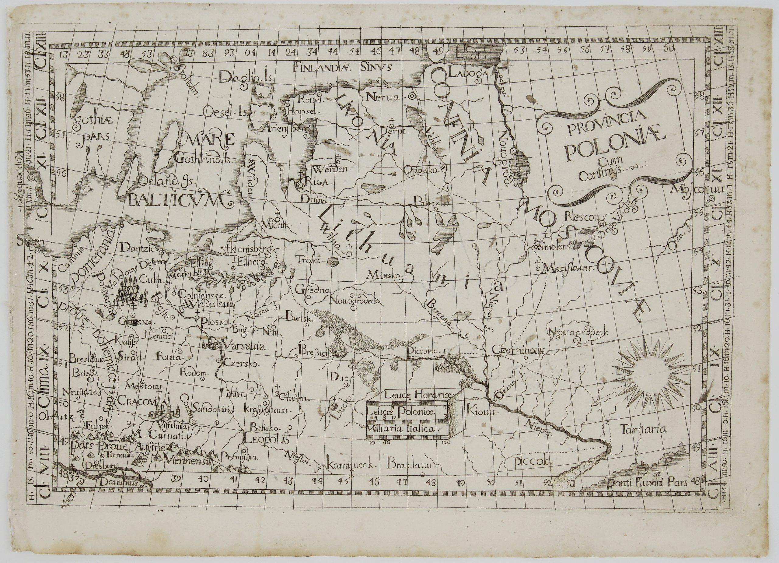
1716 – G. Bodenehr – Poloniae
250 €
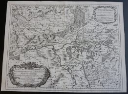
Title: “Compendiosa Poloniae Repraesentatio Polen mitt Angraenzenden Landern”
Description:
Small and decorative map of the kingdoms of Poland and Prussia with their incorporated lands and the routes used by the Tartars to invade Poland.
Comes from the atlas “Atlas Curieux oder Neuer und Compendieuser Atlas : in welchem ausser den General-Land-Charten von America, Africa, Asia und Europa, und der in letzterem gelegenen Reichen und Landern, sehr viele Speciale von besondern Provincien und Territorien, sonderlich deren, die in letzteren Kriegen renommiert worden, enthalten sind. Herausgegeben und verlegt von Gabriel Bodenehr, Kupfferstecher in Augspurg.” published in Augsburg 1716.
Cartographer: Gabriel Bodenehr (1673 – 1765)
Sheet size: 34,8 x 22,6 cm
Year: 1716
Technique: copper engraving
Condition:
Very good condition. Wide margins.
This is an original antique map published in 1716 and NOT a modern copy or reprint
On your request I will provide a Certificate of Authenticity.
In stock