1734 – I. Tirion – Koninkryk Poolen
350 €
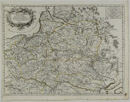
Title: “Nieuwe kaart vant Koninkryk Poolen verdeelt in zyn byzondere Waywoodschappen na de Nieuwste stelling in ‘t ligt gebracht”
Description:
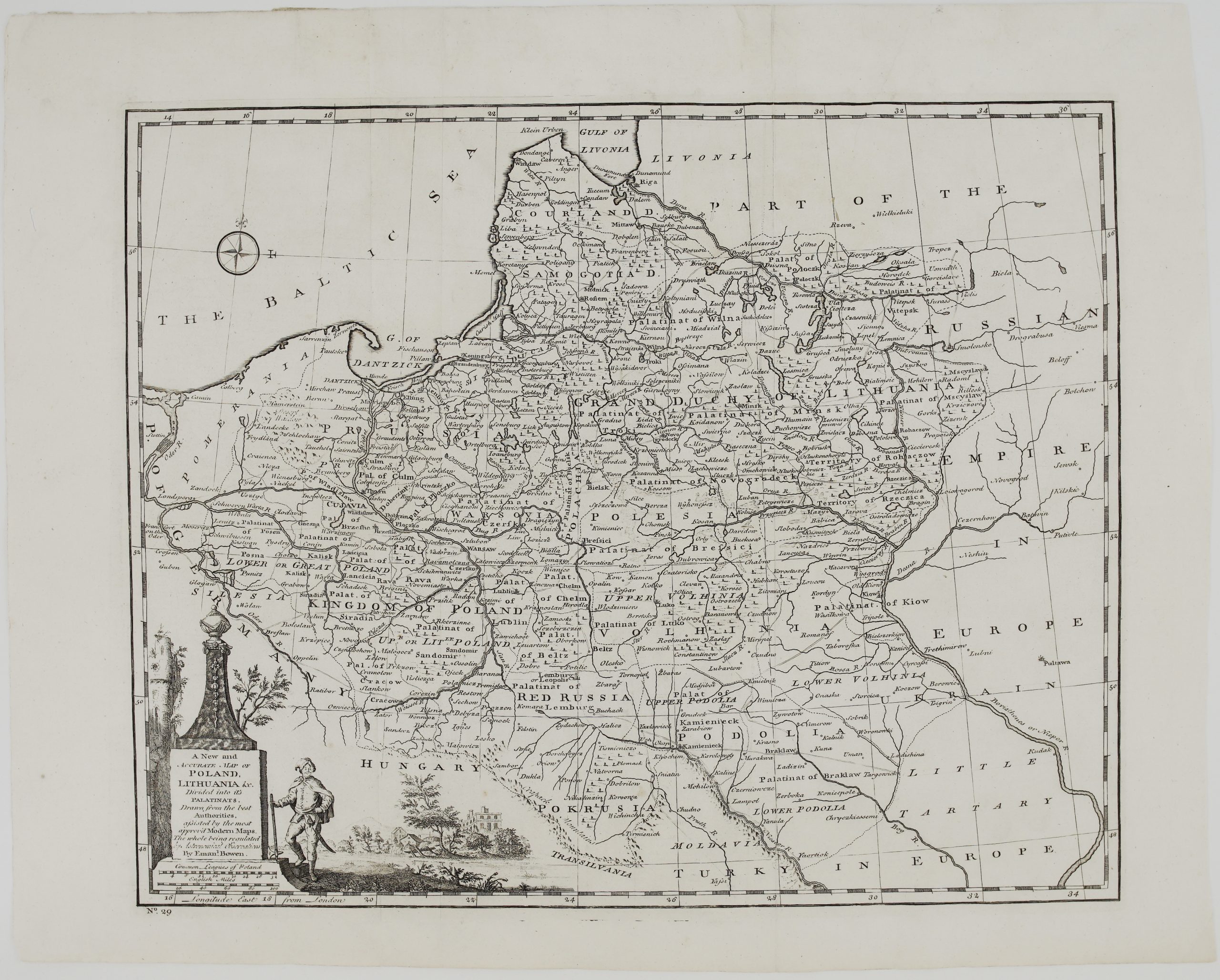
Detailed and decorative map of the Polish – Lithuanian Commonwealth including territories of Prussia, Latvia and Belarus.
Comes from the atlas “Nieuwe en beknopte Hand-Atlas, bestaande in eene Verzameling van eenige der algemeenste en noodigste Landkaarten” engraved by Graveris Jakob Keyser published in Amsterdam 1734.
Cartographer: Isaak Tirion (1705-1765)
Sheet size: 54,3 x 44,0 cm
Year: 1734
Technique: copper engraving
Condition:
Very good condition. Contemporary coloring, wide margins, watermarked paper.
This is an original antique map published in 1734 and NOT a modern copy or reprint
On your request I will provide a Certificate of Authenticity.
In stock