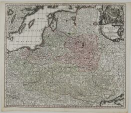
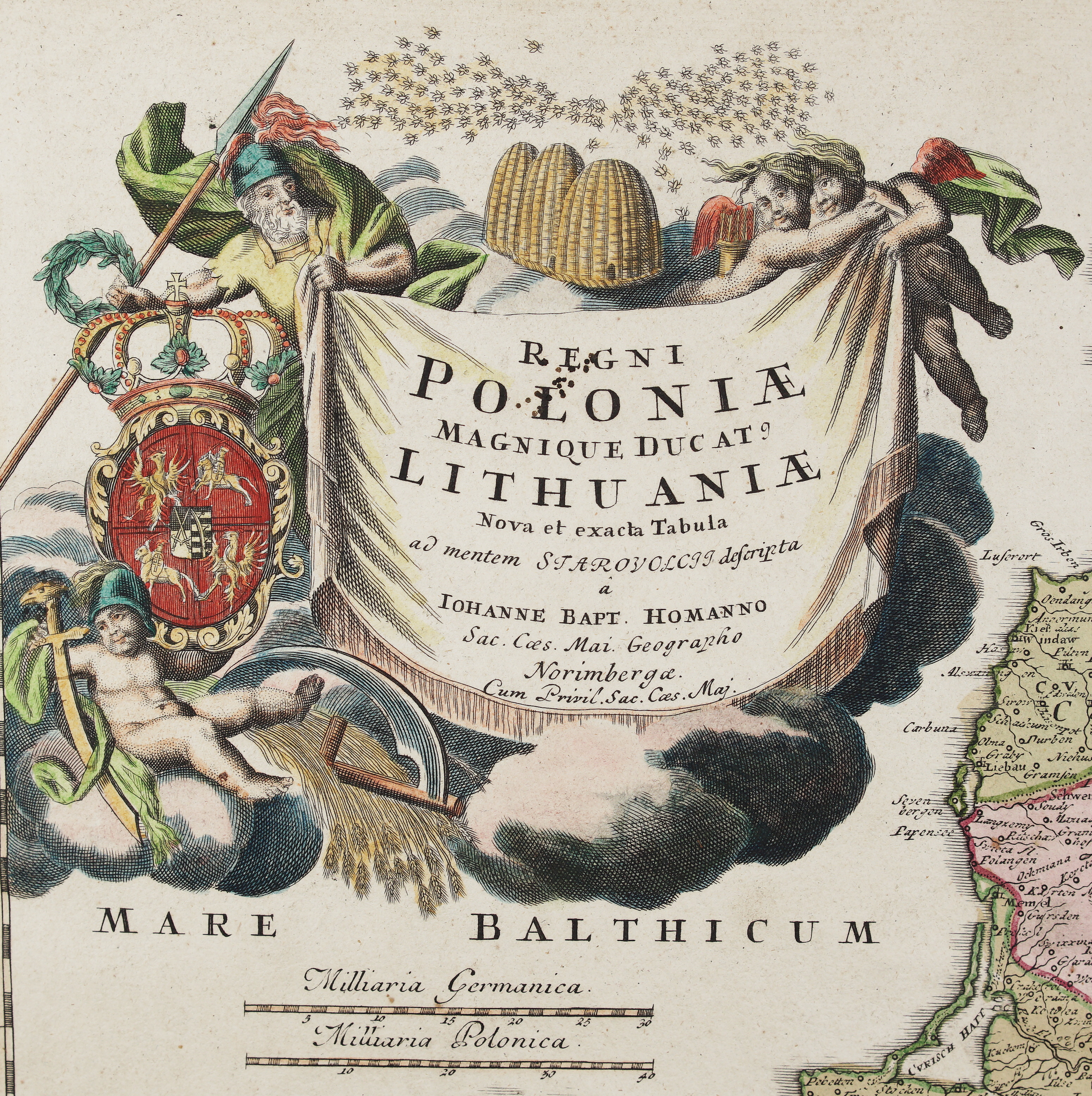
1736 – J. B. Homann – Regni Poloniae Magnique Ducatus Lithuaniae
600 €
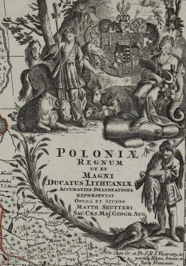
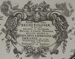
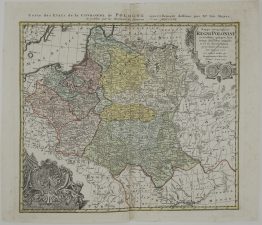
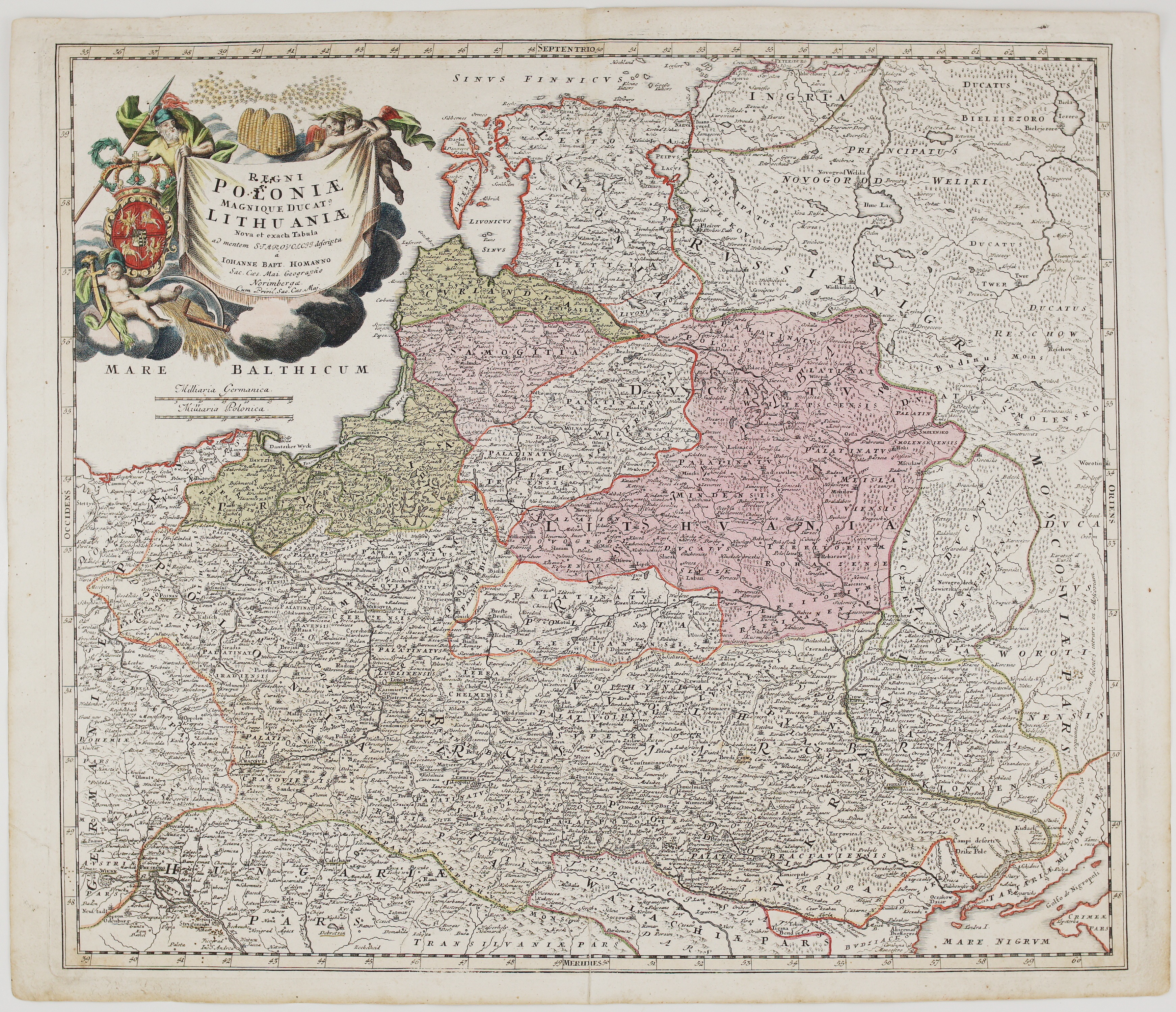
Title: “Regni Poloniæ Magnique Ducat9. Lithuaniæ Nova et exacta tabula ad mentem STAROVOLCII descripta ả IOHANNE BAPT HOMANNO Sac. Caes. Mai. Geoprapho Norimbergae”
Description:
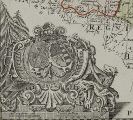
Very detailed antique map of the Kingdom of Poland and the Grand Duchy of Lithuania, extending from the Baltic Sea to the Black Sea. A gorgeous allegorical cartouche fills the Baltic Sea and features Ares, god of war, holding both a spear and a laurel wreath, the Polish-Lithuanian coat of arms under Wettin dynasty, and beehives symbolizing industry. Second plate, fourth issue.
Map comes from the Johann Baptist Homann atlas “Grosser Atlas ueber die ganze Welt“ published in Nuremberg 1736.
Cartographer: Johann Baptist Homann (1664-1724)
Sheet size: 60,7 x 51,9 cm
Year: 1736
Technique: copper engraving
Condition:
Good condition, original hand coloring. Watermarked paper. Lower middle field separation present.
This is an original antique map published in 1736 and NOT a modern copy or reprint
On your request I will provide a Certificate of Authenticity
In stock