- You cannot add that amount to the cart — we have 1 in stock and you already have 1 in your cart. View cart

1782 – A. Zatta – Regno di Prussia
Title: “Il Regno di Prussia con la Prussia Polacca di Nuova Projezione Venezia 1781…”
Description:
Very detailed and decorative map of Prussia, the north-eastern part of modern Poland including the city of Gdansk, the Russian enclave of Kaliningrad and the Lithuanian territories including the city of Klaipėda (Memel).
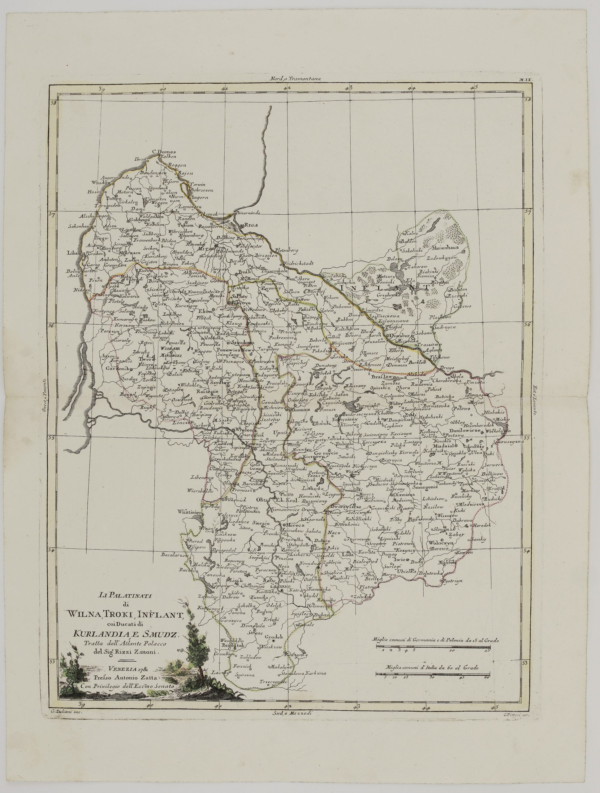
The map comes from Antonio Zatta atlas “Atlante novissimo, illustrato ed accresciuto sulle osservazioni, e scoperte fatte dai piu celebri e piu recenti geografi…” drawn by G. Zuliani and engraved by G. Pitteri, published in Venice, 1782.
Cartographer: Antonio Zatta (1757-1797)
Leaf size: 38,5 x 51,4 cm
Year: 1782
Technique: copper engraving
Condition:
Very good condition. Strong press on watermarked paper. Original coloring.
This is an original antique map published in 1782 and NOT a modern copy or reprint
On your request I will provide a Certificate of Authenticity