1796 – F. J. J. Reilly – Königreiche Norwegen
300 €
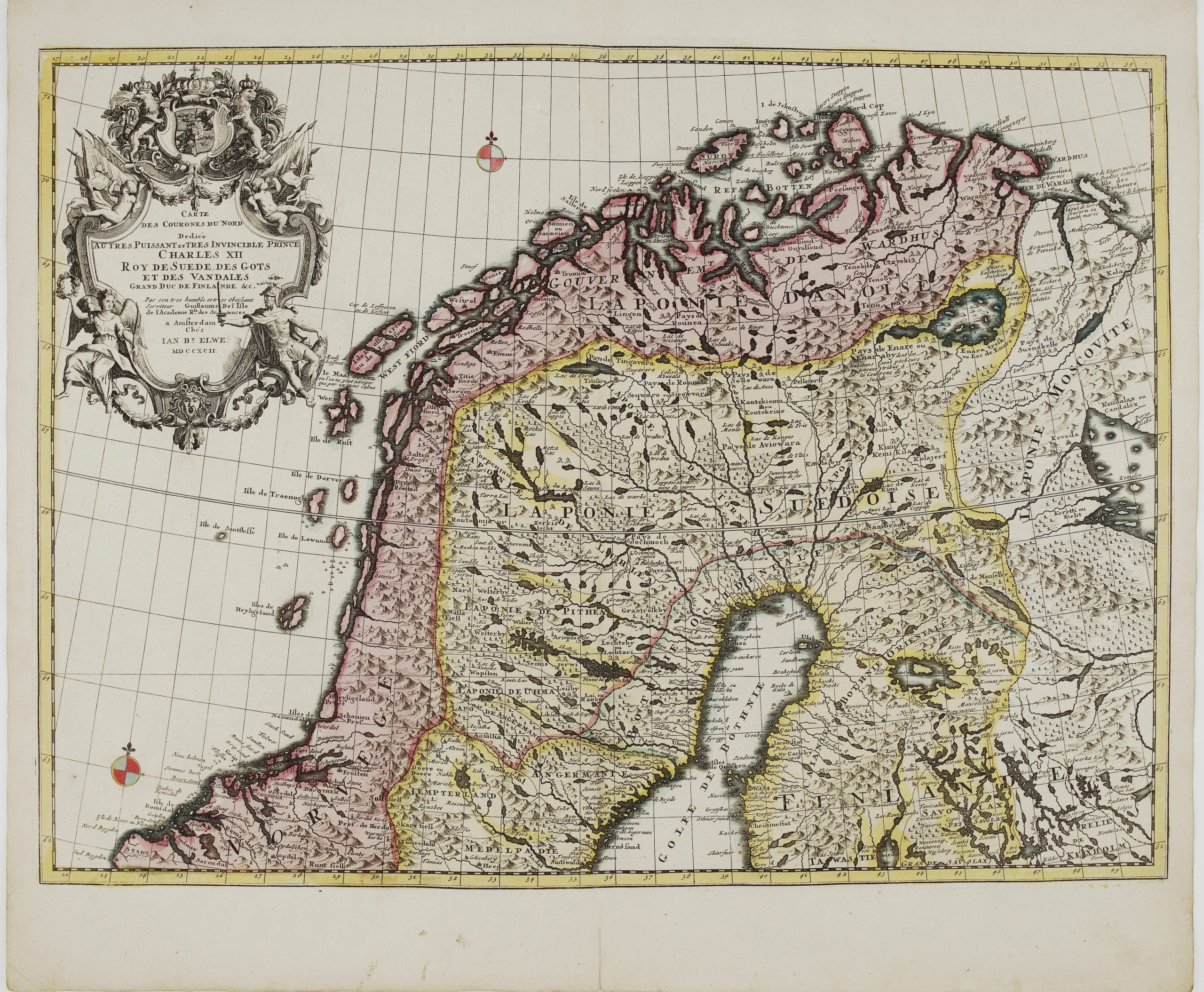
Title: “Karte von dem Königreiche Norwegen. Nach O. A. Wangenstein und I. N. Wilse Neu verzeichn et herausgegeben von Franz Ioh. Ios. von Reilly.”
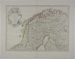
“Der nördliche Theil des Stifts Drontheim, welcher die Aemter Nordland und Finmark enthaelt”
Description:
Large and very detailed map of by Jos. Stöber according to O. A Wangensteen’s and I. N. Wilse’s map of Norway. With great figure title-cartouche and inset map of northern part of Norway.
The map comes from large “Grosser Deutscher Atlas…” published by Franz Johann Josef von Reilly which was the first world atlas produced by an Austrian, engraved by by J. Gerstner, Vienna, 1796.
Publisher: Franz Johann Joseph von Reilly (1766-1820)
Sheet size: 89,3 x 64,7 cm
Year: 1796
Technique: copper engraving
Condition:
Good condition. Contemporary coloring.
This is an original antique map published in 1796 and not a modern copy or reprint
On your request I will provide a Certificate of Authenticity
In stock