c. 1546 – J. Honter – Sarmatia
450 €
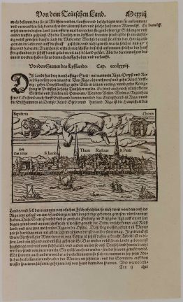
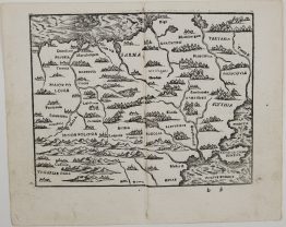
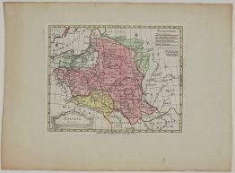
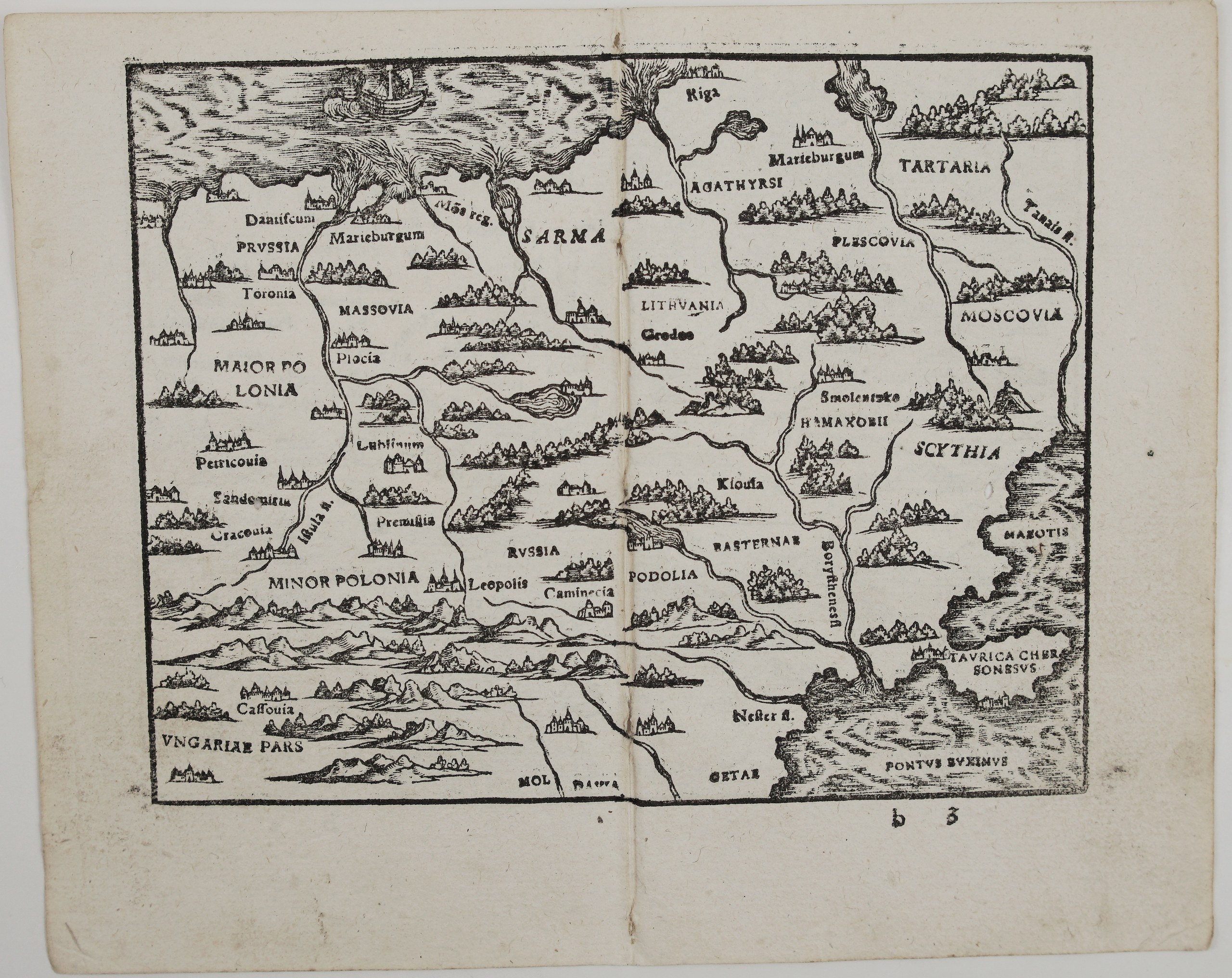
Title: [Sarmatia], an untitled woodcut map of Poland, Lithuania and Muscovy
Description:
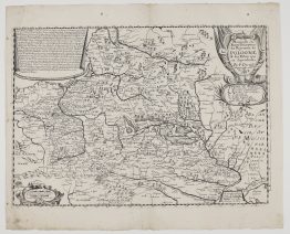
An early Honter map of Lithuania, Poland and Muscovy, from the Rudimenta Cosmographica, the most popular school geography of the 16th century. Johannes Honter, the Lutheran reformer of Transylvania, cut the maps himself. The book first appeared with them in Kronstadt (Brașov) in 1542 and went through some 39 editions, many of them printed in Zurich. This map is printed from a later re-cut version of the Zurich woodblocks, in which several names were omitted (among them Vilna and Varsovia) and Grodno appears as ‘Gredno’.
The map covers the lands east of the Baltic, which Ptolemy called Sarmatia:
- Poland: Greater and Lesser Poland, Masovia, Cracow, Lublin, Piotrków, Płock, Przemyśl and Lviv (“Leopolis”).
- Prussia: Danzig, Toruń, Marienburg and Königsberg (“Mons reg.”).
- Lithuania and the north: Lithuania, Riga, Livonia and Pskov (“Plescovia”).
- The east: Smolensk, Kyiv (“Kiovia”), Podolia, Kamianets and Muscovy.
- The south: Hungary, Košice and Moldavia, down to the Black Sea, the Crimea (“Taurica Chersonesus”) and the Sea of Azov.
The Vistula, Dnieper (“Borysthenes”), Dniester and Don (“Tanais”) run through a landscape of little towns, forests and mountains, and a ship sails on the Baltic. Like all of Honter’s maps, it mixes the modern countries with the ancient peoples named by Herodotus and Ptolemy: Agathyrsi, Hamaxobii, Basternae and Getae.
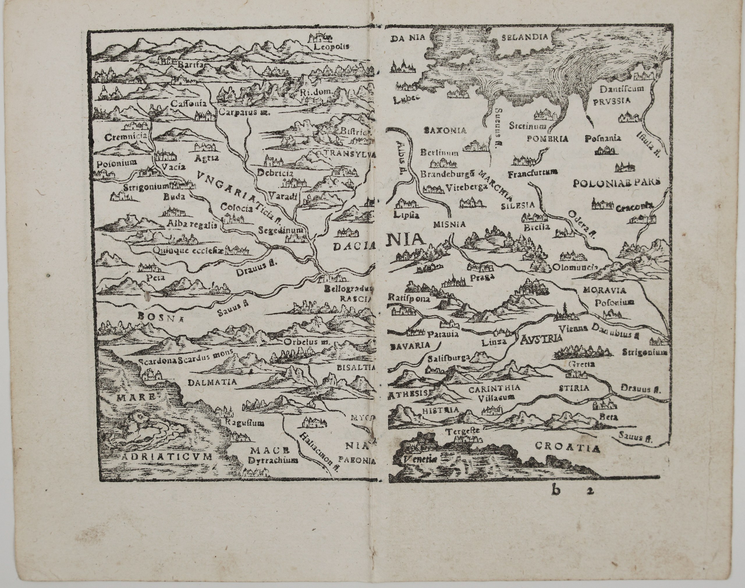
On the back of the sheet are halves of two more Honter maps, as printed in the book:
- The right half of the map of Germany: Denmark, Lübeck, Saxony, Berlin, Wittenberg, Leipzig, Pomerania, Poznań, Silesia, Breslau, Prague, Vienna, Salzburg and Venice.
- The left half of the map of Hungary and the Balkans: Buda, Esztergom, Pressburg, Transylvania, Belgrade, Bosnia, Dalmatia, Dubrovnik (“Ragusium”) and a sea creature in the Adriatic.
Cartographer: Johannes Honter (1498-1549)
Sheet size: 20,0 x 16,0 cm
Year: c. 1546
Technique: woodblock
Reference: Karrow, Mapmakers of the Sixteenth Century, 41/C
Condition:
Good. Uncoloured, with a strong impression. Centrefold as issued, with light staining along the fold. A few worm holes present. Wide margins.
This is an original antique map published circa 1546 and NOT a modern copy or reprint
On your request I will provide a Certificate of Authenticity
In stock