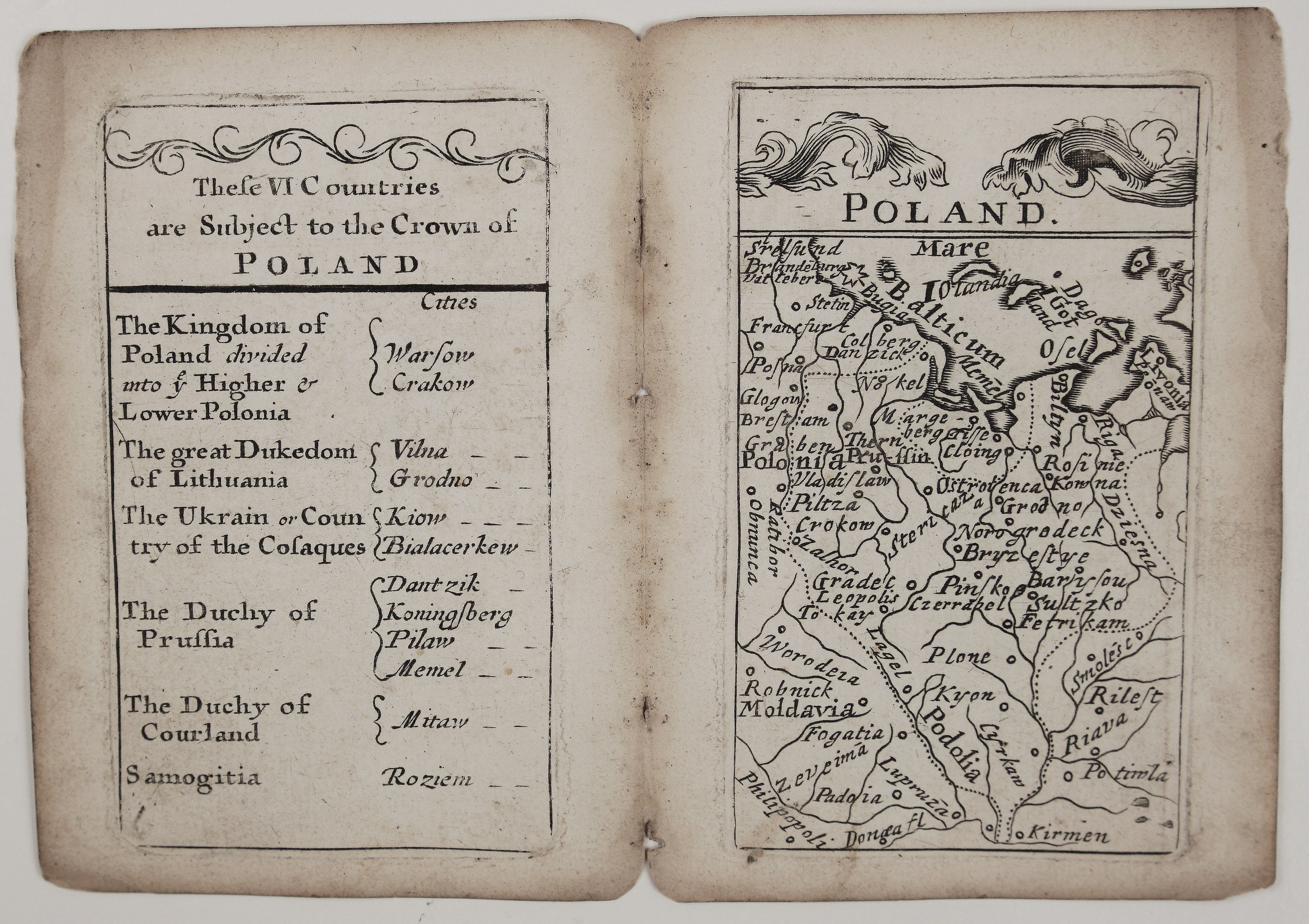
c. 1679 – J. Seller – Poland
550 €
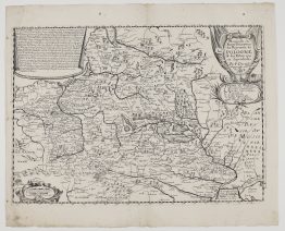
Title: “Poland”
Description:
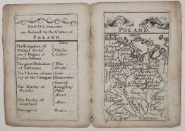
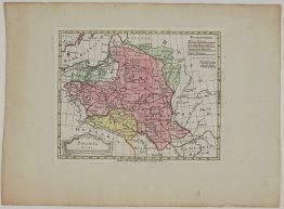
A rare miniature English map of Poland and Lithuania from John Seller’s Atlas Minimus, or a Book of Geography, one of the earliest and rarest English pocket atlases. As issued in the atlas, the map comes with the engraved table on the facing page.
The little map stretches from Stralsund, Brandenburg and Silesia to Smolensk, Kyiv and the Black Sea, and from the Baltic, with Gotland, Öland, Dagö and Ösel, to Moldavia. In Lithuania it marks Kaunas (“Kowna”), Raseiniai (“Rosinie”), Grodno, Navahrudak (“Norogrodeck”), Brest (“Bryzestye”), Pinsk, Borisov and Slutsk (“Sultzko”). The engraver’s spellings are wonderfully garbled, which adds to the map’s charm. The title sits beneath a scrolling Baroque ornament.
John Seller (1632–1697) was a London instrument maker and Hydrographer to King Charles II, best known for his sea atlases. He first issued these small maps around 1676 as geographical playing cards, then recast them as the Atlas Minimus, a pocket atlas of about 50 maps, each with its own engraved table.
Cartographer: John Seller (1632–1697)
Sheet size: 15,4 x 10,8 cm
Year: c. 1679
Technique: copper engraving
Reference: Shirley, Maps in the Atlases of the British Library, T.SELL-5
Condition:
Good. A complete double-page leaf with the map and its facing table, as issued. Uncoloured. Centrefold with original stitching holes, light toning and soiling to the edges.
This is an original antique map published circa 1679 and NOT a modern copy or reprint
On your request I will provide a Certificate of Authenticity
In stock