- You cannot add another "1674 - N. Sanson - Le Duché de Berg" to your cart. View cart


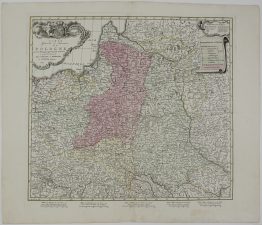
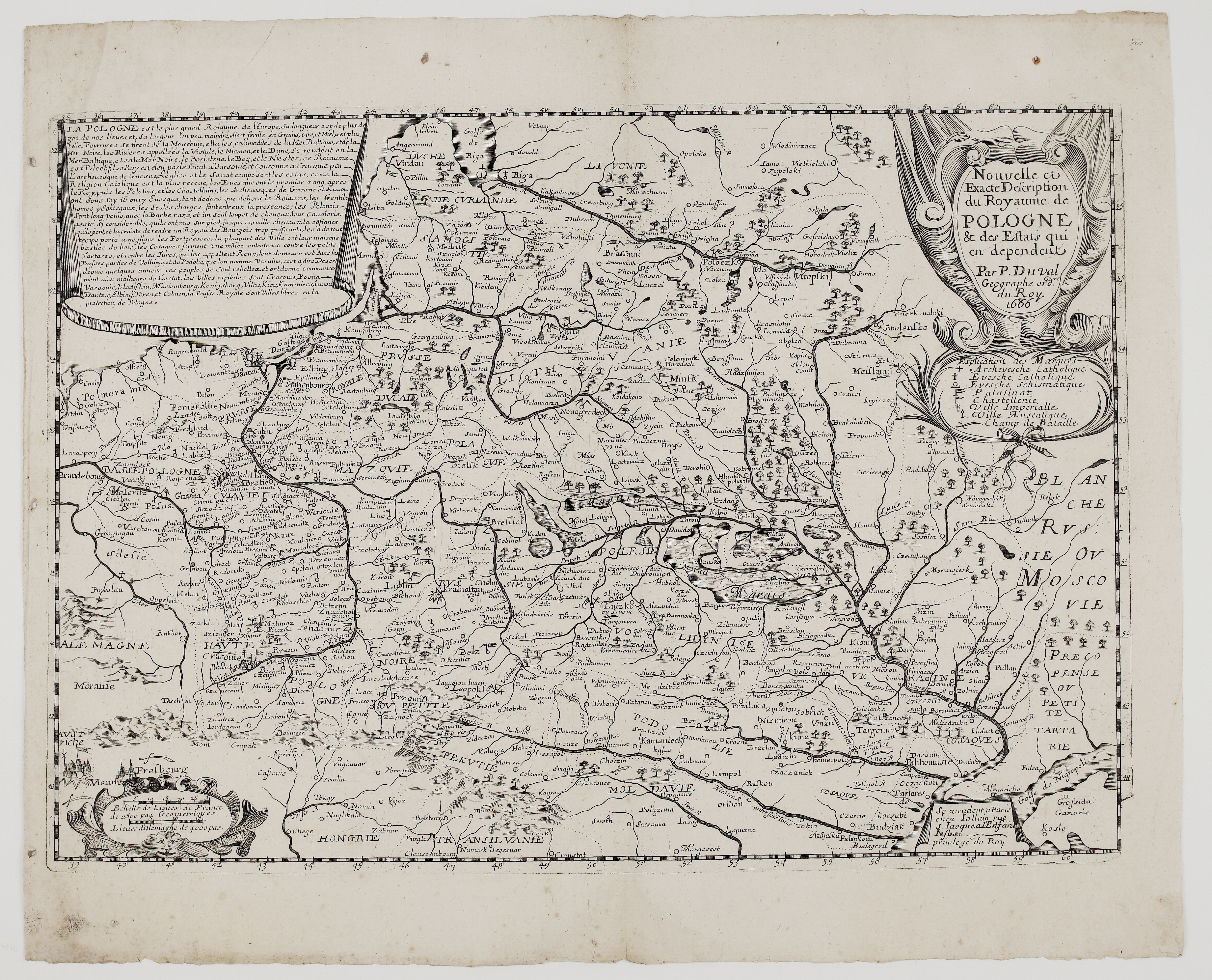
1665 – P. Du Val – Carte de Pologne
1,200 €
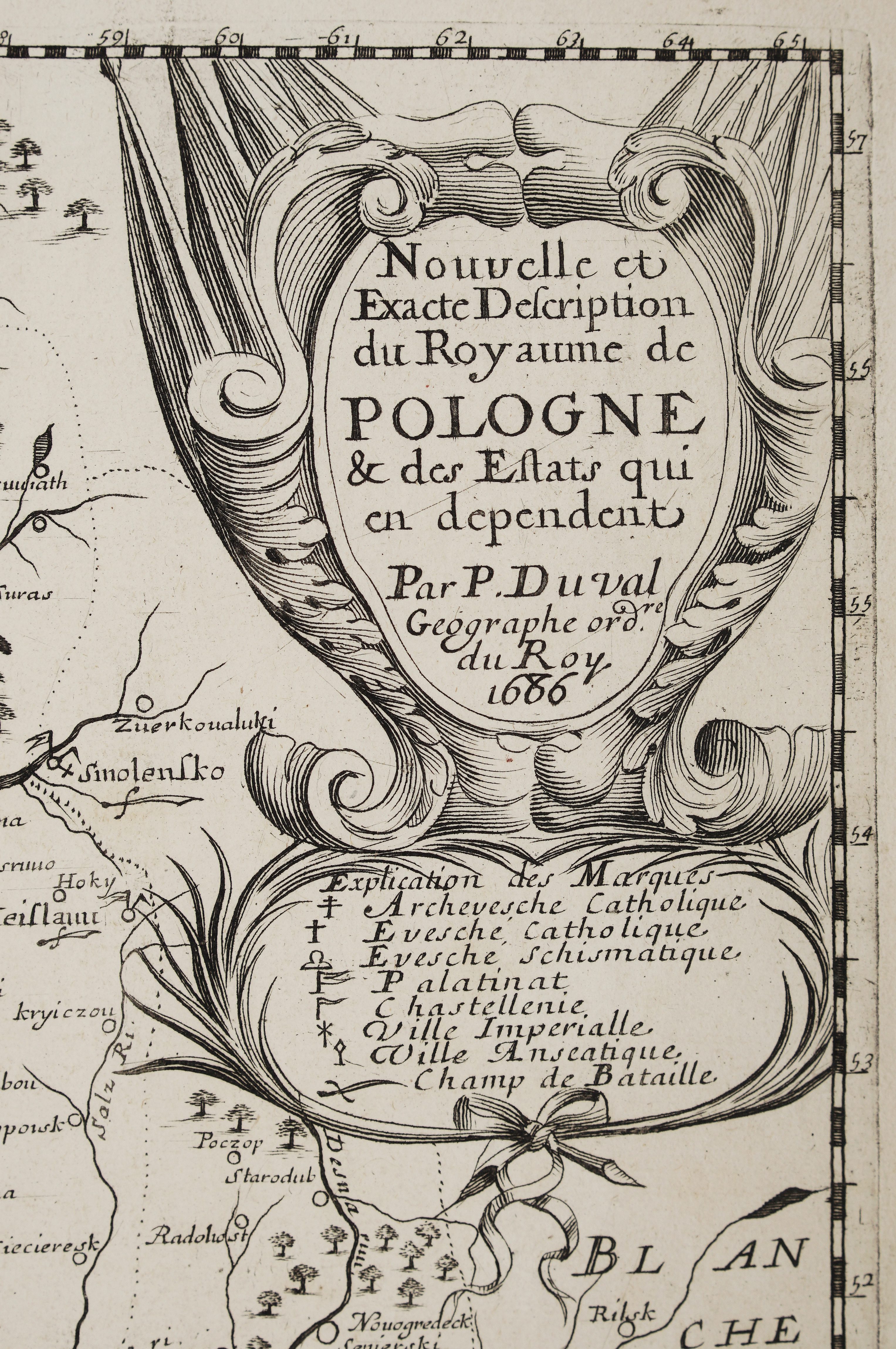
Title: “Carte de Pologne et des Estats qui en dependent”
Description:
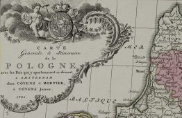
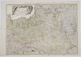
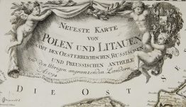
Rare antique map of Poland, Lithuania, Latvia (Curlande, Livonie, Riga), Belarus (Blanche Russie, Polesie) and Ukraine (Volhynie, Podolie, Kiow), Prussia, Pomerania, Silesia, Hungary, Transylvania, Moldavia, Little Tartary and Muscovy.
The map comes from the atlas of Pierre Du Val, Geographer to the King. His first atlas, issued in 1654, was titled Cartes Geographiques Methodiquement Divisees. It grew into the folio Cartes de Geographie, reissued in 1655, 1667 and 1677. This sheet was published by Pierre Mariette in Paris (rue Saint-Jacques, à l’Espérance) in 1665 and engraved by Abraham Peyrounin. Peyrounin also engraved Sanson’s 1665–66 series of maps of the Grand Duchy of Lithuania’s palatinates.
Pierre Du Val was the nephew and pupil of Nicolas Sanson, and held the title of Geographer Ordinary to the King from 1650. He returned to the Commonwealth later in “Les Royaumes du Nort” (c. 1666) and, posthumously, in the 1686 “Nouvelle et exacte description du Royaume de Pologne…” published by Jollain, which is also in this shop.
Cartographer: Pierre Du Val (1618–1683)
Engraver: Abraham Peyrounin
Publisher: Pierre Mariette II (1634–1716), Paris
Sheet size: 57,8 x 43,6 cm
Year: 1665
Technique: copper engraving
Condition:
Good condition. Watermarked paper. Few marginal and middle fold restorations present.
This is an original antique map published in 1665 and NOT a modern copy or reprint
On your request I will provide a Certificate of Authenticity
In stock