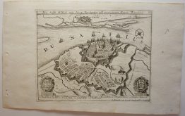
1759 – C. F. Cassini – Toul and Bar-Le-Duc
100 €
Title: “Toul and Bar-Le-Duc Fol 41”
Description:
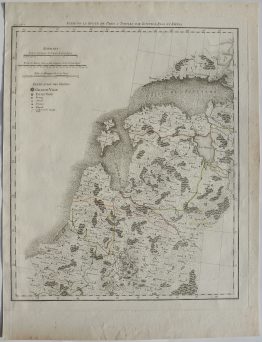
Very detailed Cassini map, covering the area around Toul in Lorraine, France. It’s the first general and detailed map of the Kingdom of France. In 1747, Louis XV commissioned César-François Cassini to create a map of France, both “detailed” (meaning detailed) and “general” because it was to cover the entire kingdom. The surveys were carried out between 1756 and 1789, and the 182 sheets comprising the map were published between 1756 and 1815. Three generations of Cassinis worked to complete this project, primarily César-François Cassini de Thury, known as Cassini III (who died in 1787), and his son Jean-Dominique Cassini de Thury, known as Cassini IV. This map represented a true innovation and a decisive technological advancement for its time. It is the first map to be based on geodetic triangulation, the establishment of which took over fifty years. The map uses hachures to indicate relief, a common technique during this period to portray elevation and terrain features. The scale of the map is 1:86,400, allowing for detailed representation of geographic features. The focus on accuracy and detail reflects the Enlightenment ideals of the time, emphasizing empirical observation and systematic recording of geographic information. The Cassini map would not be replaced until 1866, with the General Staff map for military use.
The map comes from Cassini’s atlas “Carte de France levee par ordre du Roy”, engraved by Jean-Dominique Seguin, published by Académie Royale des Sciences in Paris, 1759.
Publisher: César-François Cassini de Thury (1714 – 1784)
Sheet size: 94,5 x 60,5 cm
Year: 1759
Technique: copper engraving
Condition:
Good condition. Map mounted on linen and folded.
This is an original antique map published in 1759 and NOT a modern copy or reprint
On your request I will provide a Certificate of Authenticity.
In stock