1860 – A. Stieler – Schul Atlas
250 €
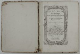
Title: “Stieler’s Schul-Atlas über alle Theile der Erde nach dem neuesten Zustande, und über das Weltgebäude. Nach Stieler’s Hand-Atlas verkleinert. Gotha: Justus Perthes. 1860.”
Description:
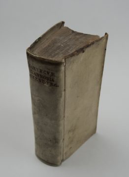
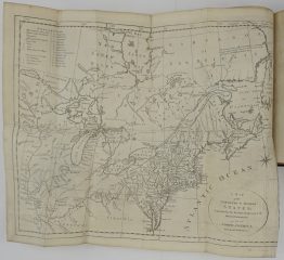
Attractive, complete atlas of the World with 32 colored maps published by Justus Perthes in Gotha, used in schools in Germany during the 19th century.
Cartographer/Publisher: Adolf Stieler (1775–1836)
Atlas size: 31 cm x 25 cm x 1 cm
Year: 1860
Technique: lithography
Condition:
Good, original condition. Some soiling, toning, and occasional foxing, mostly to margins, bumped corners.
This is an original antique atlas published in 1860 and NOT a modern copy or reprint
On your request we will provide a Certificate of Authenticity.
In stock